MyTopo
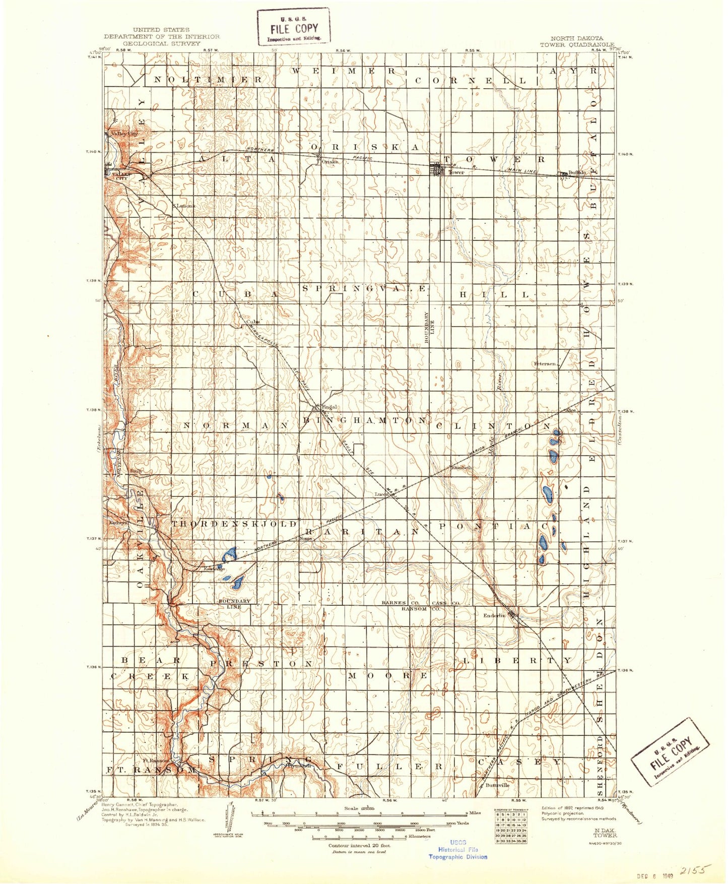
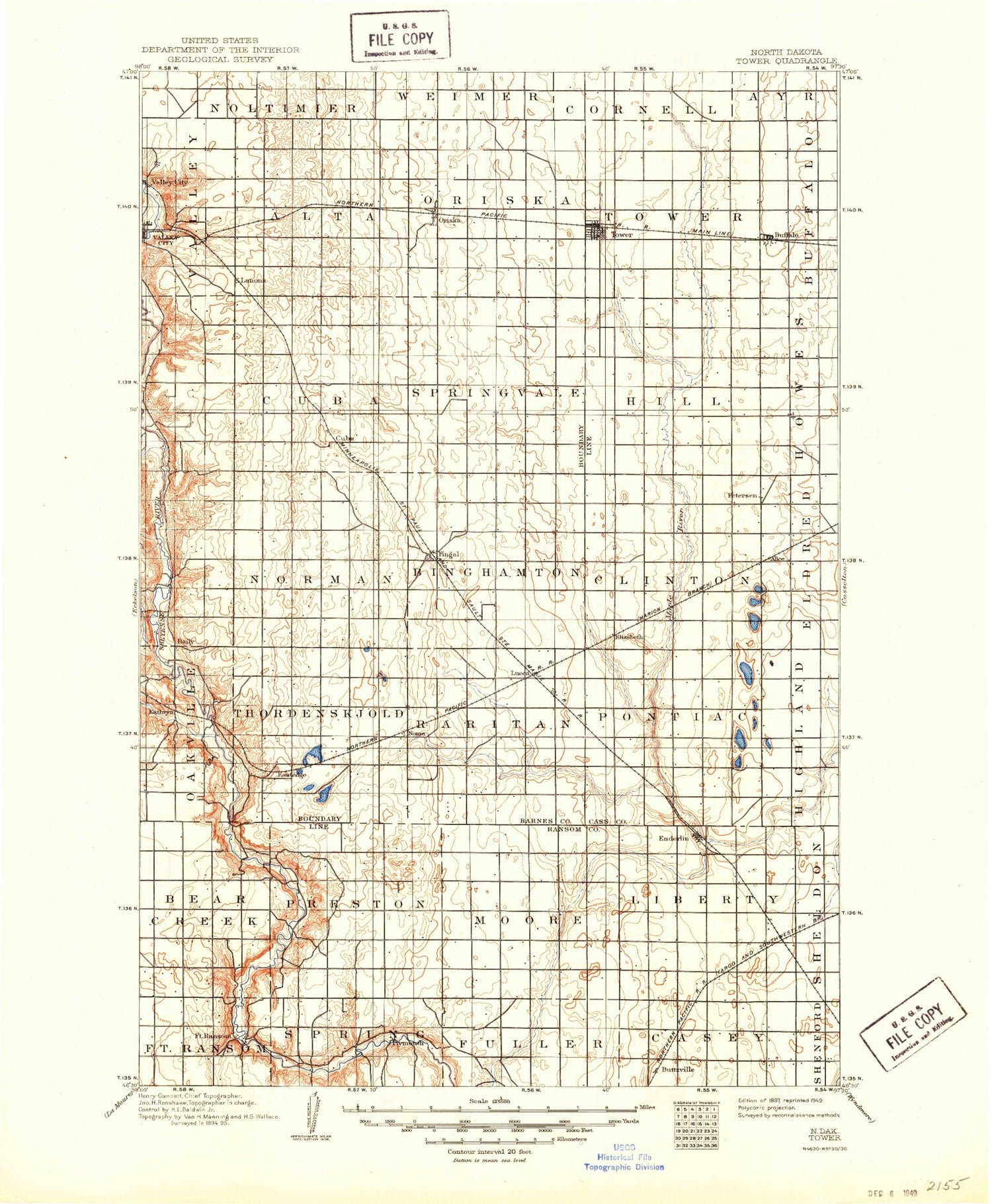
Historic 1897 Tower North Dakota 30'x30' Topo Map
Couldn't load pickup availability
Historical USGS topographic map of Tower in the state of North Dakota. Scale: 1:125000. Print size: 18" x 24"
This map was published in 1897 and is in the following counties: Barnes, Cass, Ransom.
The map contains contour lines, roads, rivers, towns, streams, and lakes. Printed on high-quality waterproof paper with UV fade-resistant inks.
Contains the following named places: Alice, Bears Den Hillock, Lake Bertha, Browen Lake, Buffalo, Buttzville, Fingal, Fort Ransom, Griswold Mine, Kathryn, Koldok State Game Management Area, Little Yellowstone Park, Lucca, Nome, North Valley City, Oestreicher Hill, Oriska, Patrick Pierce Park, Scott Hill, Site of Old Fort Ransom, Sorby Hill, South Branch Maple River, Spring Creek, Standing Rock Hill, The Pyramid, Kathryn Dam, Brown Dam, Cuba Dam, Fort Ransom Dam, Anderson Dam, Triebold Dam, Thoreson-Monson Dam, Stevens Dam, Enderlin Park Dam, Daily, Eastedge, Koldok, Cuba, Peak, City of Alice, City of Buffalo, City of Enderlin, City of Fingal, City of Fort Ransom, City of Kathryn, City of Nome, City of Oriska, City of Tower City, Enderlin, Tower City, Township of Pontiac, Township of Clifton, Township of Hill, Township of Tower, Township of Raritan, Township of Thordenskjold, Township of Oakhill, Township of Binghampton, Township of Springvale, Township of Norma, Township of Cuba, Township of Nelson, Township of Marsh, Township of Oriska, Township of Alta, Township of Casey, Township of Tuller, Township of Liberty, Township of Moore, Township of Preston, Township of Bear Creek, Township of Northland, Township of Valley, Oriska Rest Area, Wheatland Colony, Charlie Brown Field, Bear's Den Mountain Ski Area, Ransom County Society Museum, Sheyenne River State Forest, Sheyenne State Forest Trailhead, Mineral Springs Falls, Cass County Waterfowl Production Area


