MyTopo
Historic 1919 Vineland New Jersey 30'x30' Topo Map
Couldn't load pickup availability
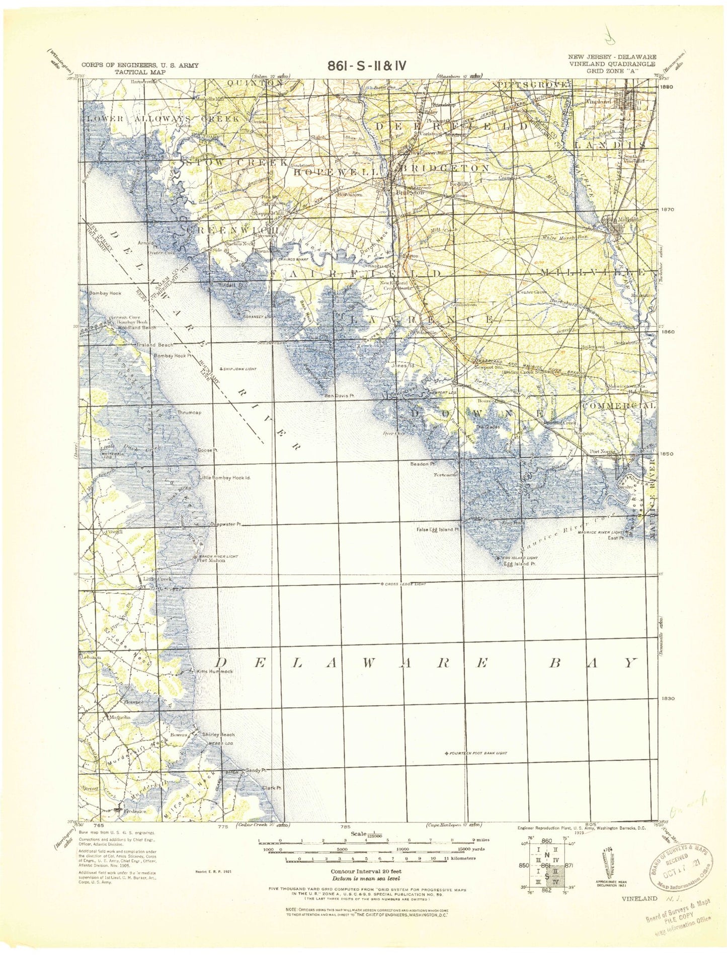
Historical USGS topographic map of Vineland in the state of New Jersey. Scale: 1:125000. Print size: 18" x 24"
This map was published in 1919 and is in the following counties: Cape May, Cumberland, Kent, New Castle, Salem, Sussex.
The map contains contour lines, roads, rivers, towns, streams, and lakes. Printed on high-quality waterproof paper with UV fade-resistant inks.
Contains the following named places: Delaware Bay, Matts Landing, Money Island, Ben Davis Point Shoal, Coon Trap, Piersons Ditch, Weir Creek, Deadman Shoal, Miah Maull Shoal, Abbot Creek, Alder Cove, Andrews Ditch, Arnold Point, Ayres Creek, Back Creek, Back Creek Point, Back Neck, Bacons Neck, Barrett Run, Basket Flat, Bay Point, Bay Ponds, Bay Side, Beach Creek, Beadon Cove, Beadon Creek, Beadon Point, Bear Swamp, Bear Swamp Creek, Beaver Dam, Beebe Run, Ben Davis Point, Big Oak, Bishop Run, Bivalve, Blackbird Gut, Blews Run, Blizzard Neck Gut, Bluebird Branch, Boggy Branch, Boiler Creek, Bowentown, Bowers Creek, Bowkers Run, Bradford Point, Bridges Sticks Creek, Bridgeton, Bridgeton Junction, Browns Run, Bucks Ditch, Buckshutem, Buckshutem Creek, Buckshutem Swamp, Cabin Creek, Cabin Island, Cabin Ridge, Campbells Corner, Canton, Canton Drain, Carlls Corner, Carmel, Cat Gut, Cedar Branch, Cedar Creek, Cedar Creek, Cedar Lake, Cedarville, Centre Grove, Chatfield Branch, Cherry Tree Creek, Chestnut Run, Clarks Pond, Clay Branch, Coffin Hill, Cohansey Cove, Cohansey Inner Light, Cohansey Outer Light, Cohansey Point, Cohansey River, Cornwell Run, Courtney Ponds, Cranberry Gut, Cross Ledge, Cub Swamp, Cut Through, Davis Mill, Dayton Creek, Denn Branch, Devils Gut, Dickerson Corner, Dickeys Ditch, Dividing Creek, Dividing Creek, Dividing Creek Station, Division Creek, Dragston, Drum Bed, Drumbo Creek, Dunks Point, Dutch Neck, Dyer Cove, Dyer Creek, Eagle Island Gut, East Lake, East Point, Eastern Cross, Eddy Pond, Egg Island Flats, Egg Island Point, Elbow of Cross Ledge, Elder Gut, Elder Point, Elk Lake, Fairton, False Egg Island Point, Farmingdale, Finley, Fishing Creek, Fishing Creek, Fishing Creek, Fithians Corner, Fordville, Fortescue, Fortescue Beach, Fortescue Creek, Fortescue Neck, Foster Run, Fowler Island, Frames Corner, Gandys Beach, Garrison Corner, Gouldtown, Grandad Gut, Grandad Meadows, Gravelly Run, Green Swamp, Greenwich, Greenwich Pier, Gum Tree Corner, Haleys Branch, Haleyville, Hands Pond, Hankins Pond, Hansey Creek, Harmersville, Harrow Run, Harrow Run, Hay Gut, Hollywood Beach, Horse Run, Howells Creek, Husted Landing, Indian Creek, Indian Ditch, Indian Fields Branch, Iron Branch, Iron Mine Branch, Iron Point, Island Branch, Island Ditch, Jackson Run, Jacobs Creek, Jericho, Johnsons Ditch, Jones Island, Joshua Branch, Kenny Point, Kernan Corner, King Pond, Ladow Millpond, Landis Park, Lands Branch, Laurel Lake, Lebanon Branch, Little Creek, Little Pond Creek, Little Robin Branch, Locust Meadow, Lone Tree Creek, Long Branch Run, Loper Run, Lopers Gut, Lores Island, Lower Deep Creek, Loyds Corner, Lummis Lakes, Lummis Marsh Branch, Lummistown, Macanippuck Run, Mad Horse Creek, Malapartis Creek, Menantico Creek, Maple Creek, Maple Hollow Branch, Marlboro, Mary Elmer Lake, Maskells Mill, Maurice River, Maurice River, Maurice River Cove, Maurice River Neck, Mauricetown Station, McCormick Pond, Mickles Mill, Middle Brook, Middle Brothers Creek, Middle Marsh Creek, Mile Branch, Mill Creek, Mill Creek, Mill Creek, Mill Creek, Millville, Mounce Creek, Muddy Creek, Muddy Run, Muddy Run, Nancy Gut, Nantuxent Point, Nantuxent Cove, Nantuxent Creek, New England Creek, New Italy, Newport, Newport Landing, Newport Meadows, Newport Neck, Norma, North Port Norris, Ogden Creek, Ogdens Creek, Old Hatch Creek, Oranoaken Creek, Orchard Center, Othello, Owls Nest Field