MyTopo
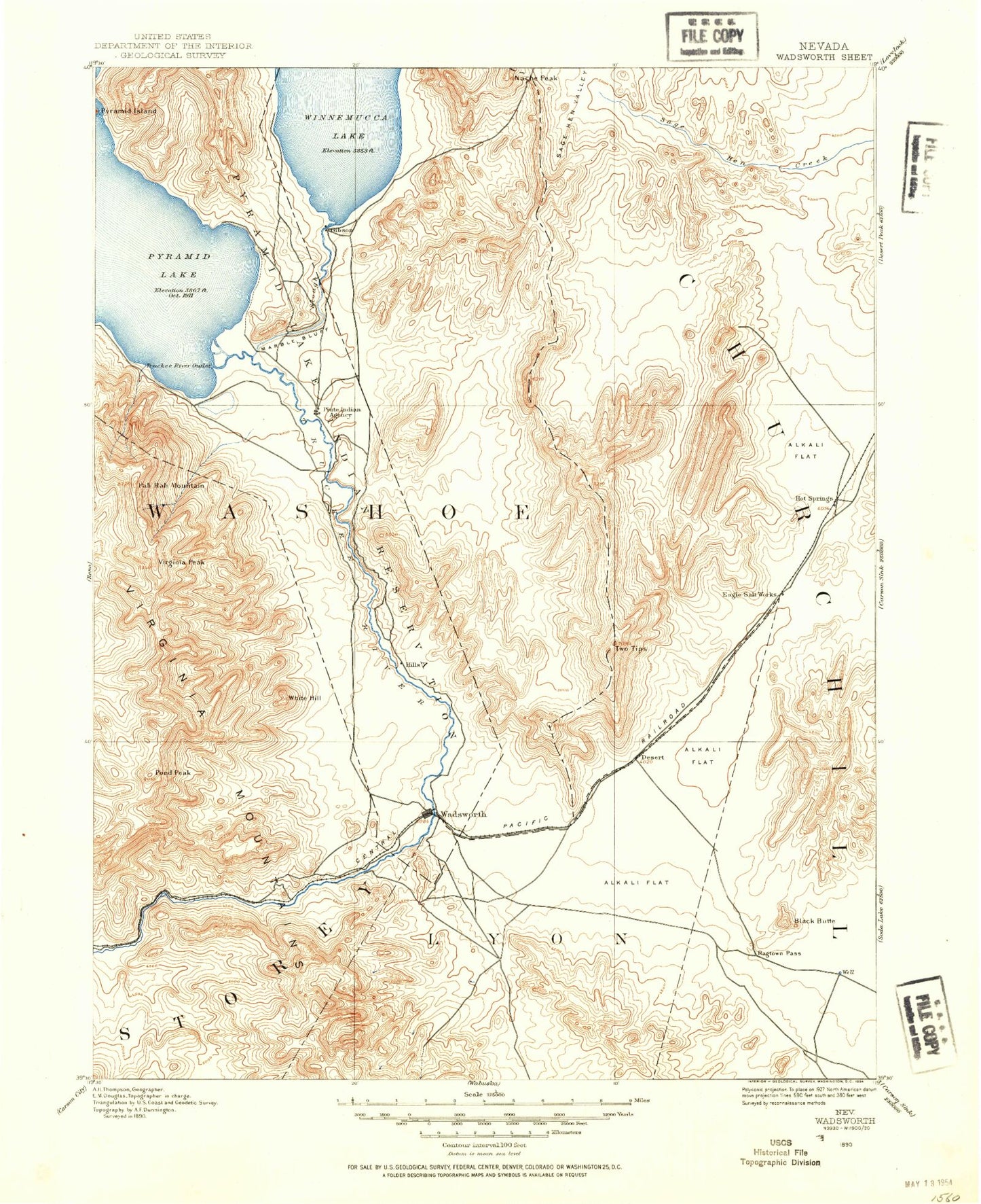
Historic 1890 Wadsworth Nevada 30'x30' Topo Map
Couldn't load pickup availability
Historical USGS topographic map of Wadsworthin the states of Nevada, California. Scale: 1:125000. Print size: 17" x 24"
This map was published in 1890 and is in the following counties: Churchill, Lyon, Pershing, Storey, Washoe.
The map contains contour lines, roads, rivers, towns, streams, and lakes. Printed on high-quality waterproof paper with UV fade-resistant inks.
Contains the following named places: Airway Beacon 212, Airway Beacon 216, Black Butte, Black Mountain, Black Warrior Peak, Coal Creek, Coyote Canyon, Dead Ox Wash, Dodge Flat, Duck Lake, Eagle Rock, Fernley, Fernley Drain, Fireball Ridge, Fort Defiance Creek, Gardella Canyon, Hazen, Hill Ranch Canyon, Hot Springs Flat, Juniper Peak, KX Lateral Canal, K2B Canal, Little Valley, Marble Bluff, Miry Place Canyon, Mud Lake Slough, Nache Peak, North Valley, Pierson Canyon, Rabbit Canyon, Ragtown Pass, Russell Peak, Stud Horse Canyon, Tiger Canyon, Tolbert Canyon, Truckee Canal, Truckee Range, Two Tips, Wadsworth, Fernley Wildlife Management Area, Green Hill, White Hill, Lyon County Complex, Jones Canyon Ranch, Summit Cave, Big Mouth Creek, Branch Big Mouth Creek, Piute Indian Agency, Truckee River Outlet, James Ranch, Thomas Ranch, Smith Ranch, Alexander Mine, Taylor Branch Prospect, Leete Mining District, CAA Station, Clark Mining District, Secret Creek, Millers Creek, Red White and Blue Mountain, Fernley Hills, Diabase Hills, Big Mouth Canyon, Frank Free Canyon, Jones Canyon, Hazen Drain, Olinghouse Canyon, Pah Rah Mountain, Pond Peak, Rodero Creek, Secret Canyon, Tom Anderson Canyon, White Horse Canyon, Little Butte, The Narrows, Sheepherders Canyon, The Gooseneck, Fernley Sink, Fernley Out-of-Town Park, Streiff Drain, Gilpin Rest Stop, Post Canyon, Marble Bluff Dam, Numana Dam, California Emigrant Trail, Windmill Canyon, Pyramid Lake Fishway, A Drain, Celatom Mine, Clark, Jay Bird Mine, Virginia Peak, Derby Tungsten Mine, Olinghouse Mining District, Buster Mine, Keystone Nevada Mine, Tiger Group Mine, Green Mountain Mines, White Caps Mine, Eagle-Picher Industries Inc Mill, Guanomi Mine, Nezelda Mine, Truckee Mining District, Big Mouth Mine, Argo, Diatom, Darwin, Dodge, Gilpin, Thisby, Olinghouse, Olinghouse Mine, Dondero Shaft, Herstin, Fernley Valley, Twenty-Six-Mile Desert, Canal Township, Jones Creek, Nixon, Pah Rah Range, Bradys Hot Springs, Fort Defiance Canyon, Truckee River, Virginia Range, Bell Telephone Relay Station, Perkin, Derby Dam, Fernley Dam Number One, Fernley Reservoir Number One, Fernley Dam Number Three, Fernley Reservoir Number Three, Fernley Division, City of Fernley, Marble Bluff Fish Research and Control Station, Truckee River


