MyTopo
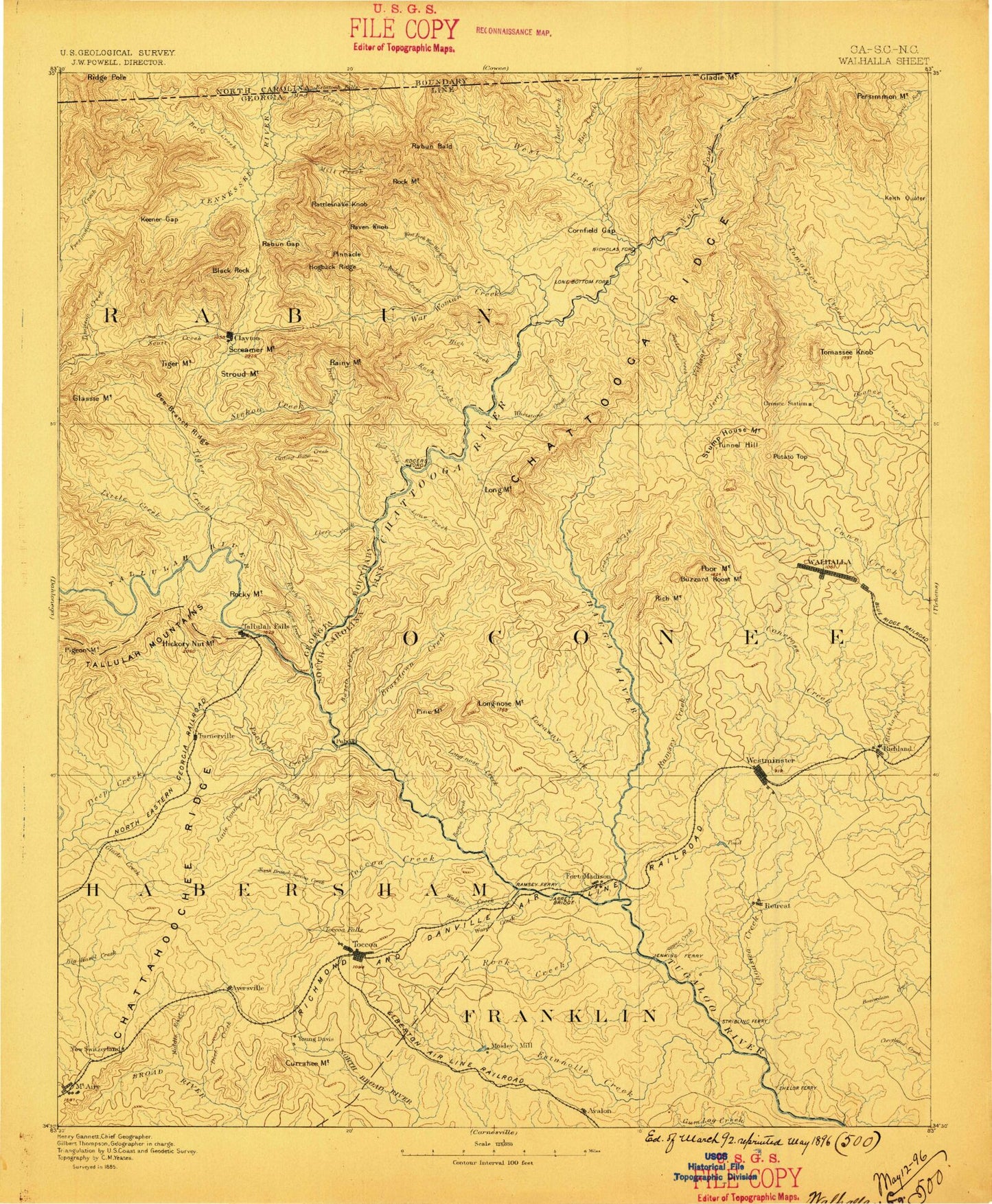
Historic 1896 Walhalla Georgia 30'x30' Topo Map
Couldn't load pickup availability
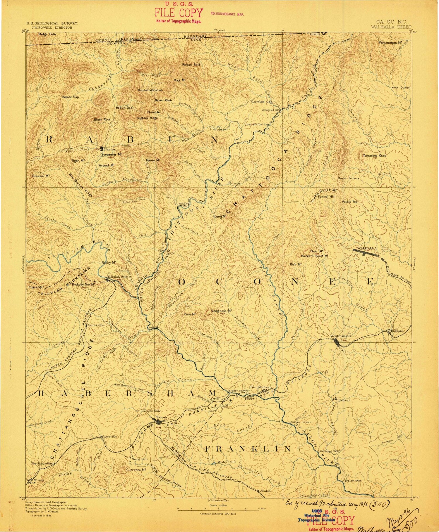
Historical USGS topographic map of Walhalla in the state of Georgia. Scale: 1:125000. Print size: 17" x 24"
This map was published in 1896 and is in the following counties: Clay, Franklin, Habersham, Macon, Oconee, Rabun, Stephens.
The map contains contour lines, roads, rivers, towns, streams, and lakes. Printed on high-quality waterproof paper with UV fade-resistant inks.
Contains the following named places: Morris Pond, Wards Creek, Addie Branch, Addie Gap, Adline Branch, Alex Gap, Almond Bald, Antioch, Apple Valley, Arnold Branch, Ashley Creek, Athens Y M C A Camp, Avalon, Bad Branch, Bailey Branch, Barkers Creek, Barnes Lake, Battle Branch, Bear Branch, Bear Gap, Beavert Branch, Beck Mountain, Beck Ridge, Becky Branch, Bee Bait Mountain, Beegum Gap, Bent Ridge, Big Bend Falls, Big Creek, Big Face, Big Mountain, Big Ridge, Big Ridge, Big Shoal Branch, Big Shoals, Bill Mountain, Billingsley Creek, Billy Creek, Black Branch, Black Mountain, Black Rock Mountain State Park, Blacks Branch, Blacks Creek, Blackstump Gap, Boardpile Branch, Boen Creek, Boggs Branch, Boston Branch, Brown Bottoms, Brush Ridge, Buck Branch, Buckeye Branch, Burrell Branch, Burrell Mountain, Burrells Ford Trail, Bynum Branch, Cabin Mountain, Camp Barron, Camp Branch, Camp Chattooga, Camp Creek, Camp Dixie, Camp Dixie, Camp Robert Toombs, Camp Toccoa, Carey Gap, Carnes Creek, Carrol Mountain, Carson Branch, Cascade Falls, Cedar Cliff, Cedar Creek, Charlie Branch, Chechero Creek, Chestnut Gap, Chestnut Ridge, Clear Creek, Cliff Mountain, Coffee Branch, Cold Mine Branch, Coldspring Gap, Coleman River Wildlife Management Area, Collins Lake, Commissioners Rock, Courthouse Gap, Cox Lake, Crukleton Ridge, Dan Gap, Dan Ridge, Daniel Creek, Darnell Gap, Davidson Creek, Davis Creek, Dead Man Branch, Deep Creek, Deep Gap, Demoore Ridge, Denmans Creek, Devils Branch, Dillard, Double Branch, Double Bridge Branch, Drip Nose Mountain, Drive Ridge, Ducket Lake, Ducks Nest Gap, Dud Creek, Dyer Branch, Eastman Mountain, Emory Branch, Erady Branch, Estatoah Falls, Fairview, Falls Branch, Falls Branch, Fern Springs Picnic Area, Fighting Pine, Finney Creek, First Prong, Flat Creek, Flat Creek, Flint Gap, Franklin Pond, Freeman Creek, Fry Branch, Galloway Creek, George W Carver Picnic Area, Gibson Gap, Glade Creek, Glade Mountain, Goble Gap, Goldmine Branch, Grassy Ridge, Greasy Creek, Green Gap, Gulf Branch, Hale Ridge, Hanging Rock, Hanging Rock Gap, Harden Creek, Hedden Creek, Henson Branch, Hicks Creek, High Top, Hightower Branch, Hog Mountain, Hogback, Holcomb Creek, Holden Branch, Hoods Creek, Hoojah Branch, Hopper Branch, Horse Creek, Howard Creek, Howard Gap, Hughes Lake, Irvin Lake, Lake Irvin, Jameson Mountain, Jarrett, Jerry Branch, Jim Harden Gap, Joe Creek, Joe Gap, Joe Mountain, John Teague Gap, Keener Branch, Keener Creek, Kelly Creek, Kilby Branch, Kimbell Creek, Lamb Creek, Laurel Branch, Laurel Creek, Law Ground Creek, Lawson Lake, Le Tourneau Lake, Ledford Branch, Leo Park, Liberty Creek, Lion Mountain, Little Creek, Little Creek, Little Eastanollee Creek, Little Panther Creek, Little Toccoa Creek, Locust School Gap, Long Branch, Lake Louise, Maple Spring Gap, Margiebell Lake, Martin Creek, Mason Branch, McMurry Lake, Meek Field, Messer Creek, Messer Ridge, Metcalf Creek, Midway, Milksick Cove, Mill Creek, Millstone Branch, Moccasin Creek, Moody Branch, Morsingills Creek, Mose Branch, Mose Mountain, Nancy Town Lake, Needy Creek, Negro Branch, Nems Pond, Nichols Gap, Norton Creek, Norton Ridge, Oakey Mountain, Oakey Top, Oakey Top, Old Camp Branch, Overflow Creek, Owen Branch, Owen Branch, Owen Gap, Owl Gap, Owl Mountain, Page Branch, Panther Creek Picnic Area, Patterson Creek, Patterson Gap, Penick Pond, Persimmon Gap, Persimmon Point, Pigpen Branch, Pigpen Gap, Pin Mill Branch, Pine Gap, Pine Mountain


