MyTopo
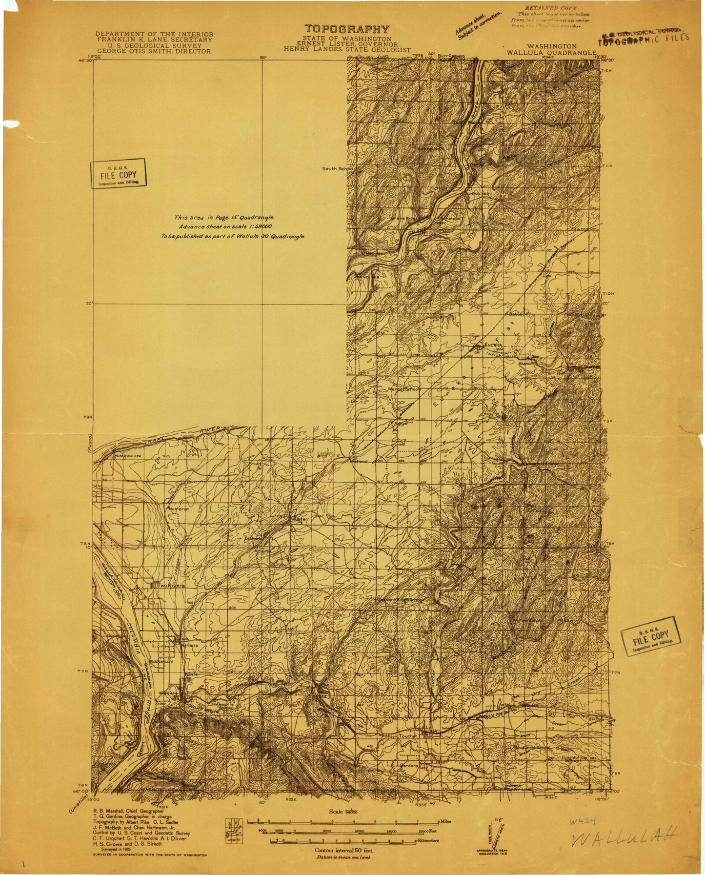
Historic 1915 Wall Ula Washington 30'x30' Topo Map
Couldn't load pickup availability
Historical USGS topographic map of Wall Ulain the states of Washington, Oregon. Scale: 1:96000. Print size: 24" x 28"
This map was published in 1915 and is in the following counties: Benton, Franklin, Umatilla, Walla Walla.
The map contains contour lines, roads, rivers, towns, streams, and lakes. Printed on high-quality waterproof paper with UV fade-resistant inks.
Contains the following named places: Little Mud Creek, Walla Walla Valley, Warm Springs Canyon, Pine Creek, Vansycle Canyon, Ash Hollow, Badger Island, Burlingame Ditch, Casey Island, Casey Pond, Demaris Ditch, Eureka, Eureka Flat, Fort Walla Walla Historical Monument, Foundation Island, Frenchtown Monument, Gardena Creek, Goose Island, Hill Top, J Line Pond, Mound Pond, Mousser Hall Ditch, Mud Creek Canal, Palmer Pond, Peavine Island, Quarry Pond, Rye Grass Coulee, Rye Grass Flat, Smiths Harbor, Snake River, Spring Gulch, Strawberry Island, Switch Pond, Tanglefoot Island, Touchet, Touchet East Side Ditch, Touchet West Side Ditch, Two Rivers Islands, Webber Canyon, Whitman Ditch, Williams Ditch, Yellepit Pond, Port of Walla Walla, Hover, Homly Channel, Charbonneau Recreation Area, Ash, Attalia, Babcock, Burr, Elwood, Gardena, Humorist, Lee, Page, Port Kelley, Reese, Rulo, Sheffler, Slater, Two Rivers, Villard Junction, Walker, Wallula Junction, Welland, Yellepit, Martindale, Wallula State Park, Clover Hill, Lowden, Wallula, Simmons, Wallula Station, Adkins, Burbank Slough, Curlew Pond, Dalton Lake, Dry Creek, Emma Lake, Fishhook Park, Garden City Ditch, Gardena Ditch, Goose Gap, Hatch, Lamar, Le Grow, Levey, McCoy Canyon, Mud Creek, Ninemile Canyon, Pine Creek, Redd, Rice Hill, Smith Canyon, Touchet River, Twin Sisters, Walker Canyon, Walla Walla River, Wallula Gap, Lake Wallula, Warm Springs Canyon, Winnett Canyon, Woodward Canyon, Zangar Junction, West Channel, Madame Dorion Memorial Park, Hover Park, Juniper Dunes Wilderness, Charbonneau Park, Big Flat Habitat Management Unit, Crescent Island, McNary National Wildlife Refuge, Hunt, Locust Grove, Snake River Junction, Iowa Beef Processors Waste Pond, High Lift Canal, Votaw, Lake Sacajawea, Mud District Number 2 Canal, Mud District Number 7 Canal, Ice Harbor Lock and Dam, Levey Landing Park, Burbank Division, Eureka Flat Division, Touchet Division, Lake Sacajawea Bar, Broetge Orchards, Little Mud Creek, Walla Walla Valley, Warm Springs Canyon, Pine Creek, Vansycle Canyon, Short Low Ditch, Gardena Creek, Mud Creek, Pine Creek, Walla Walla River, Lake Wallula, Warm Springs Canyon, McNary National Wildlife Refuge, Vansycle Canyon


