MyTopo
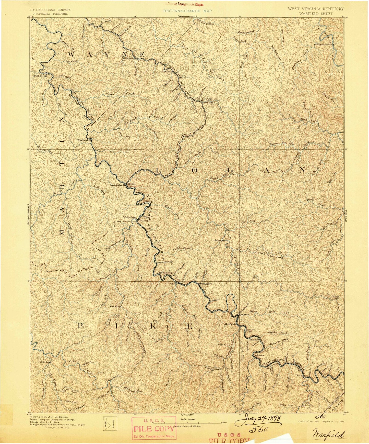
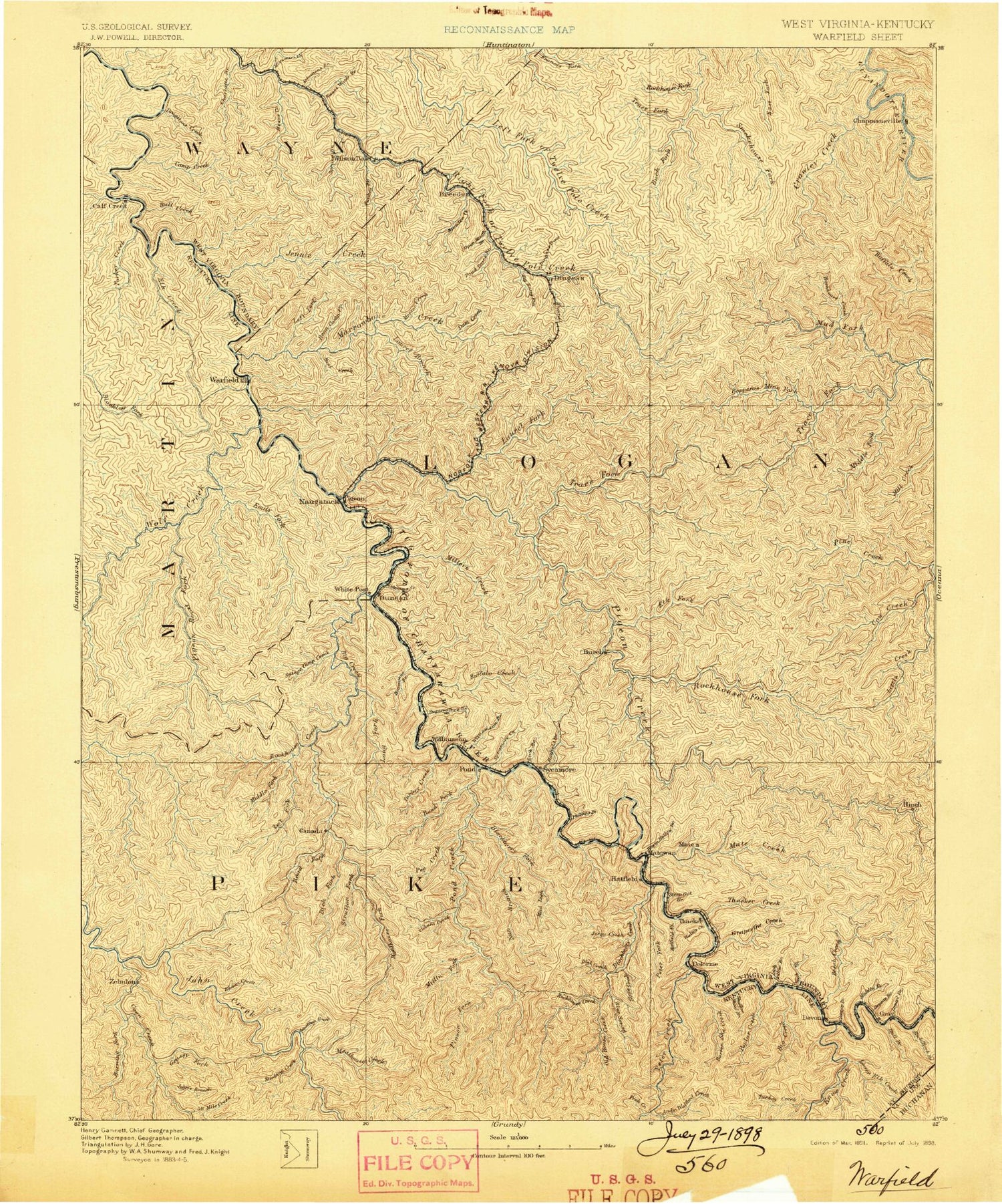
Historic 1891 Warfield West Virginia 30'x30' Topo Map
Couldn't load pickup availability
Historical USGS topographic map of Warfield in the state of West Virginia. Scale: 1:125000. Print size: 17" x 24"
This map was published in 1891 and is in the following counties: Buchanan, Lawrence, Lincoln, Logan, Martin, Mingo, Pike, Wayne.
The map contains contour lines, roads, rivers, towns, streams, and lakes. Printed on high-quality waterproof paper with UV fade-resistant inks.
Contains the following named places: Andy Trent Branch, Barrenshee Creek, Buck Creek, Pounding Mill Branch, Adams Branch, Ajax Branch, Aldrich Branch, Aldrich Branch, Alex Branch, Alley Branch, Anderson Branch, Andy Branch, Antley Branch, Antley Knob, Arkansas Branch, Asbury Lake, Ashcamp Branch, Ashcamp Hollow, Bailey Branch, Baisden Branch, Bark Camp Branch, Barkcamp Branch, Barker Branch, Barker Hollow, Barnabus, Bear Branch, Bear Creek, Bearwallow Branch, Bearwallow Branch, Beech Creek, Beech Ridge, Beech Ridge Trail, Big Branch, Big Branch, Big Jims Branch, Big Muncy Branch, Big Pigeonroost Branch, Big Sang Kill, Big South Branch, Bills Branch, Bird Branch, Blackberry City, Blair Fork, Block Hollow, Bluewater Branch, Boardcamp Branch, Boardinghouse Hollow, Boardtree Branch, Bradshaw, Breeden Creek, Breeden Gap, Breezy Gap, Brier Branch, Browns Run, Brush Camp Fork, Brushy Fork, Brushy Fork, Bryan Ridge, Bubby Branch, Buck Branch, Buck Fork, Buck Run, Buffalo Creek, Bull Branch, Bull Creek, Bull Fork, Bulwark Branch, Burchett Branch, Cabin Branch, Cabin Hill, Cabwaylingo State Forest, Cain Fork, Camp Branch, Camp Creek, Cane Branch, Caney Branch, Caney Branch, Caney Fork, Canoe Fork, Canterbury, Carter Branch, Carter Branch, Chafin Branch, Chapmanville, Cherrytree Branch, Chestnut Log Branch, Chief Logan State Park, Coleman Branch, Conley Branch, Conley Branch, Conley Fork, Conley Hollow, Coon Creek, Coon Hollow, Copley Branch, Copperas Mine Fork, Cotigo Lake, Cow Creek, Cranes Branch, Crawley Creek, Crum, Cub Branch, Cub Branch, Cub Branch Gap, Curry Branch, Curry Branch, Cynthia Branch, Dairy Hollow, Dan Branch, Dans Branch, Davis Branch, Delbarton, Delorme, Den Branch, Dingess Fork, Dingess Trace Branch, Doane, Dog Fork, Double Camp Fork, Drag Creek, Duncan Fork, Duty Branch, East Kermit, Elk Creek, Ellis Branch, Ellis Camp Branch, Ferrell Branch, Ferrell Branch, Fivemile Creek, Foundation Fork, Fowler Branch, Garrett Fork, George Allen Branch, Godby Branch, Godby Heights, Gourd Branch, Grant Branch, Grant Branch, Grapevine Creek, Grapevine Fork, Hagerman Branch, Hall Fork, Harrison Branch, Hatfield, Hell Creek, Henderson Branch, Hensley Big Branch, Hinch, Hogger Branch, Hogger Run, Holden, Honey Branch, Hoover Fork, Hoover Knob, Horse Creek, Horse Road Fork, Hurricane Branch, Hurricane Branch, Hurricane Creek, Hurricane Fork, Ivy Branch, Jacks Fork, Jacks Fork, Jakes Branch, Jennie Creek, Jims Branch, Jims Branch, Jonnies Branch, Kelly Knob, Kermit, Kitchen, Lambert Branch, Laurel Branch, Laurel Branch, Laurel Branch, Laurel Branch, Laurel Branch, Laurel Lake State Wildlife Management Area, Laurel Fork, Laurel Fork, Laurel Fork, Laurel Lake, Left Fork Big Branch, Left Fork Cow Creek, Left Fork Dan Branch, Left Fork Elk Creek, Left Fork Marrowbone Creek, Left Fork Miller Creek, Left Fork Neely Branch, Left Fork Openmouth Branch, Left Fork Pine Creek, Left Fork Riffe Branch, Left Fork Right Fork Trace Fork, Left Fork Rockhouse Fork, Left Fork Spruce Fork, Left Fork Upper Burning Creek, Left Fork Whitman Creek, Left Hand Fork Hoover Fork, Lenore, Lick Branch, Lick Branch, Lick Branch, Lick Branch, Lick Branch, Lick Branch, Lick Branch, Lick Creek, Lick Fork, Lick Fork, Lily Branch, Lintz Addition, Little Blackberry Creek, Little Laurel Branch, Little Laurel Branch, Little Muncy Branch, Little Right Fork, Little Road Branch, Little Sang Kill, Little Twin Branch, Littles Creek, Log Branch, Loggy Branch, Long Branch, Long Branch, Longtail Lick Branch, Low Gap, Low Gap, Lower Burning Creek, Lower Dempsey Branch, Lower Honey Branch, Lower Sandlick Branch, Marcum Branch, Mare Branch, Marie Branch, Marks Branch, Marrowbone Creek


