MyTopo
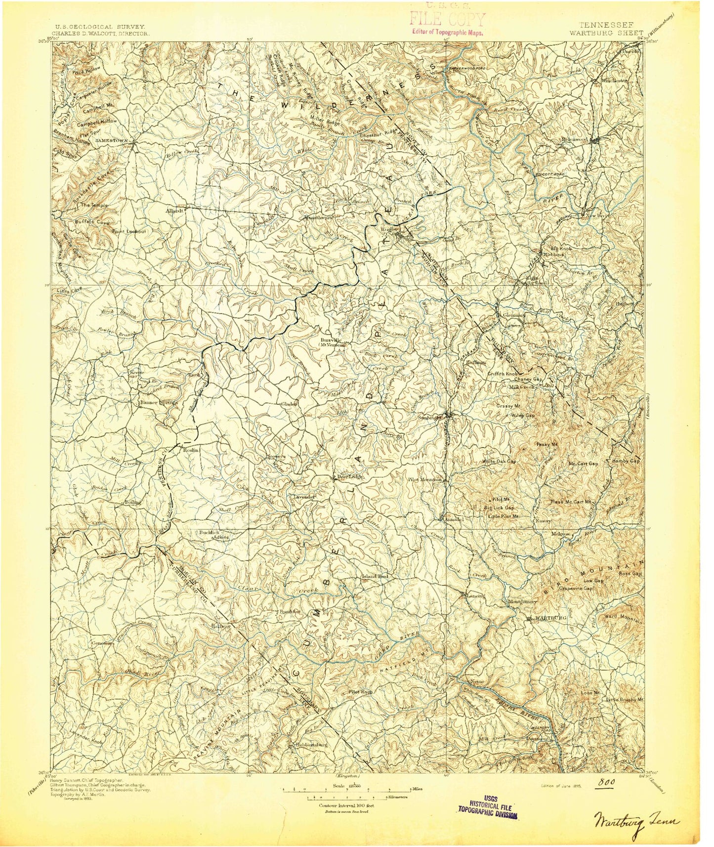
Historic 1895 Wartburg Tennessee 30'x30' Topo Map
Couldn't load pickup availability
Historical USGS topographic map of Wartburg in the state of Tennessee. Scale: 1:125000. Print size: 18" x 24"
This map was published in 1895 and is in the following counties: Cumberland, Fentress, Morgan, Scott.
The map contains contour lines, roads, rivers, towns, streams, and lakes. Printed on high-quality waterproof paper with UV fade-resistant inks.
Contains the following named places: Grassy Mountain, Hall Branch, Allardt, Black Wolf Creek, Brasel Branch, Buffalo Cove, Goad Spring Branch, Gut Branch, Gwinn Cove, Houston Spring Branch, Mill Creek, Potter Branch, Rattlesnake Branch, Sheep Rock, Sheep Rock Mountain, Shell Creek, Shepherd Branch, Shoal Creek, Shoal Creek, Shoal Creek, Short Branch, Short Creek, Short Creek, Sifter Hill Branch, Sixteen Tunnel, Slipshuck Ridge, Smith Branch, Smith Branch, Snow Branch, Sophie Gap, South Fork Camp Branch, South Fork Coon Creek, South Fork Elmore Creek, South Prong Horse Creek, Spots Branch, Spring Branch Hollow, Spruce Creek, Spruce Lick Creek, Staples Spring Branch, Still Camp Branch, Still Camp Branch, Stillhouse Branch, Stone Coal Branch, Stonecipher Branch, Sugarcamp Hollow, Sugarcamp Hollow, Sugarcamp Hollow, Sulphur Creek, Sulphur Spring Branch, Summers Branch, Summers Park, Susan Branch, Tar Kiln Ridge, Taylor Branch, Taylor Spring Branch, The Narrows, Thomas Branch, Thompson Mountain, Tom Branch, Tom Branch, Toms Branch, Tunnel Hollow, Turkey Creek, Turkey Knob, Turner Branch, Twin Bridges, Underwood Branch, Underwood Neck, Verdun, Vespie Branch, Wallace Hollow, Wash Branch, Webb Creek, Webb Gap, Wells Branch, West Fork Coyle Branch, West Fork Joe Branch, West Prong Hill Creek, West Robbins, Westmoreland Branch, Whaley Branch, Whetstone Branch, White Horse Branch, Whiteoak Creek, Whitepine Branch, Winchester Branch, Wolf Branch, Wolf Fork Hollow, Wolf Pen Branch, Wolfpen Branch, Wright Mountain, Yellow Creek, Young Branch, Young Mountain, Aaron Branch, Adams Branch, Adams Creek, Ails Branch, Al Branch, Alexander Creek, Allen Branch, Anderson Branch, Atkinson Branch, Bagley Branch, Bandy Creek, Banner Springs, Barger Branch, Barn Creek, Bear Bench Ridge, Bear Branch, Bear Branch, Bear Cove Hollow, Bear Creek, Beaty Branch, Bee Branch, Bee Ridge, Beech Branch, Beech Fork, Beetree Branch, Bendix Spur, Big Branch, Big Branch, Big Branch, Big Creek, Big Hollow, Big Lick Gap, Big Pond Ridge, Big Ridge, Big Ridge, Black Creek, Black Oak, Bluffy Branch, Boardtree Hollow, Bob Branch, Bobs Creek, Boiling Spring Branch, Bole Branch, Bolton Branch, Bonafacius Branch, Bone Camp Creek, Boon Ridge, Booncamp Branch, Brady Branch, Branstetter Branch, Breedlove Branch, Briar Point, Brickyard Hollow, Bridge Creek, Brimstone Creek, Brimstone Ridge, Brown Branch, Brown Branch, Buck Branch, Buck Creek, Buck Lick Branch, Buck Ridge, Buck Spring Branch, Buck Switch, Bucklick Creek, Bull Branch, Butchers Creek, Buttermilk Branch, Buttram Branch, Cal Branch, Cal Hurst Branch, Camp Branch, Camp Branch, Campbell Branch, Campbell Hollow, Campbell Mountain, Cane Branch, Cane Branch, Caney Branch, Carden Branch, Carney Hollow, Carpenter Hollow, Carter Branch, Cave Branch, Cecil Hollow, Cecil Hollow, Chambers Hollow, Chaney Gap, Cherry Fork Creek, Clayton Branch, Coal Bank Hollow, Coal Hill Mountain, Cold Branch, Convict Branch, Cook Creek, Cooke Knob, Coon Branch, Coon Creek, Cooper Pond, Cooper Pond, Copperas Branch, Cove Ridge, Cow Branch, Cowan Creek, Cox Branch, Cox Branch, Crab Orchard Creek, Crockett Creek, Crockett Creek, Crockett Ridge, Crooked Creek, Cross Hollow, Dan Branch, Daniel Branch, Dark Hollow, Davis Branch, Davis Branch, Davis Branch, Davis Creek, Dead Mans Pond, Deadening Branch, Dismal Branch, Douglas Branch, Dripping Springs Hollow, Dry Branch, Dry Branch, Dry Branch, East Fork Joe Branch, East Jamestown, East Prong Hill Creek, Edmund Branch, Elgin, Ellis Hollow, Elmore Branch, Elmore Creek, England Mountain, Fall Branch, Fall Hollow, Falling Water Branch, Fern Camp Creek, Flat Branch, Flat Fork


