MyTopo
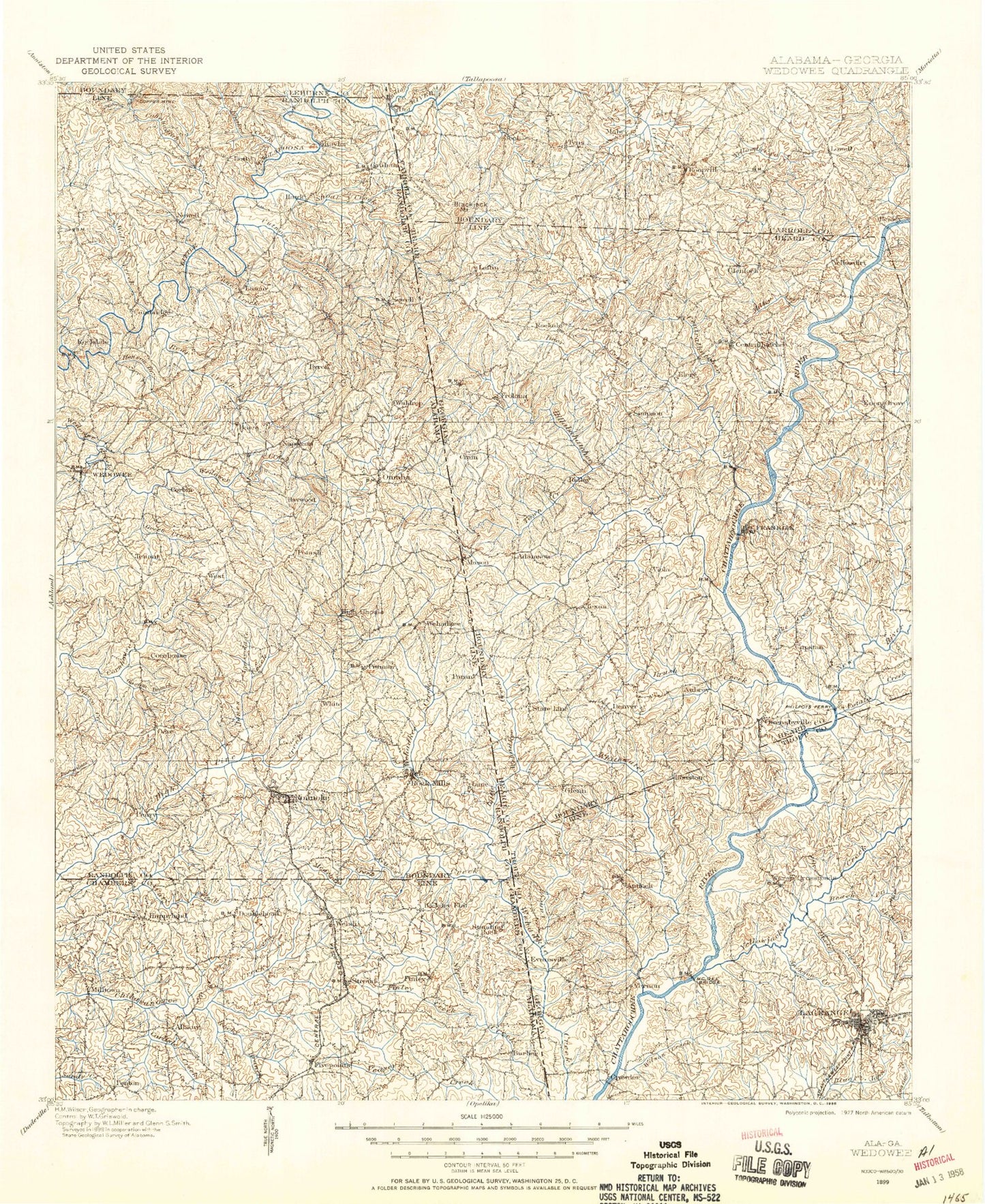
Historic 1899 Wedowee Alabama 30'x30' Topo Map
Couldn't load pickup availability
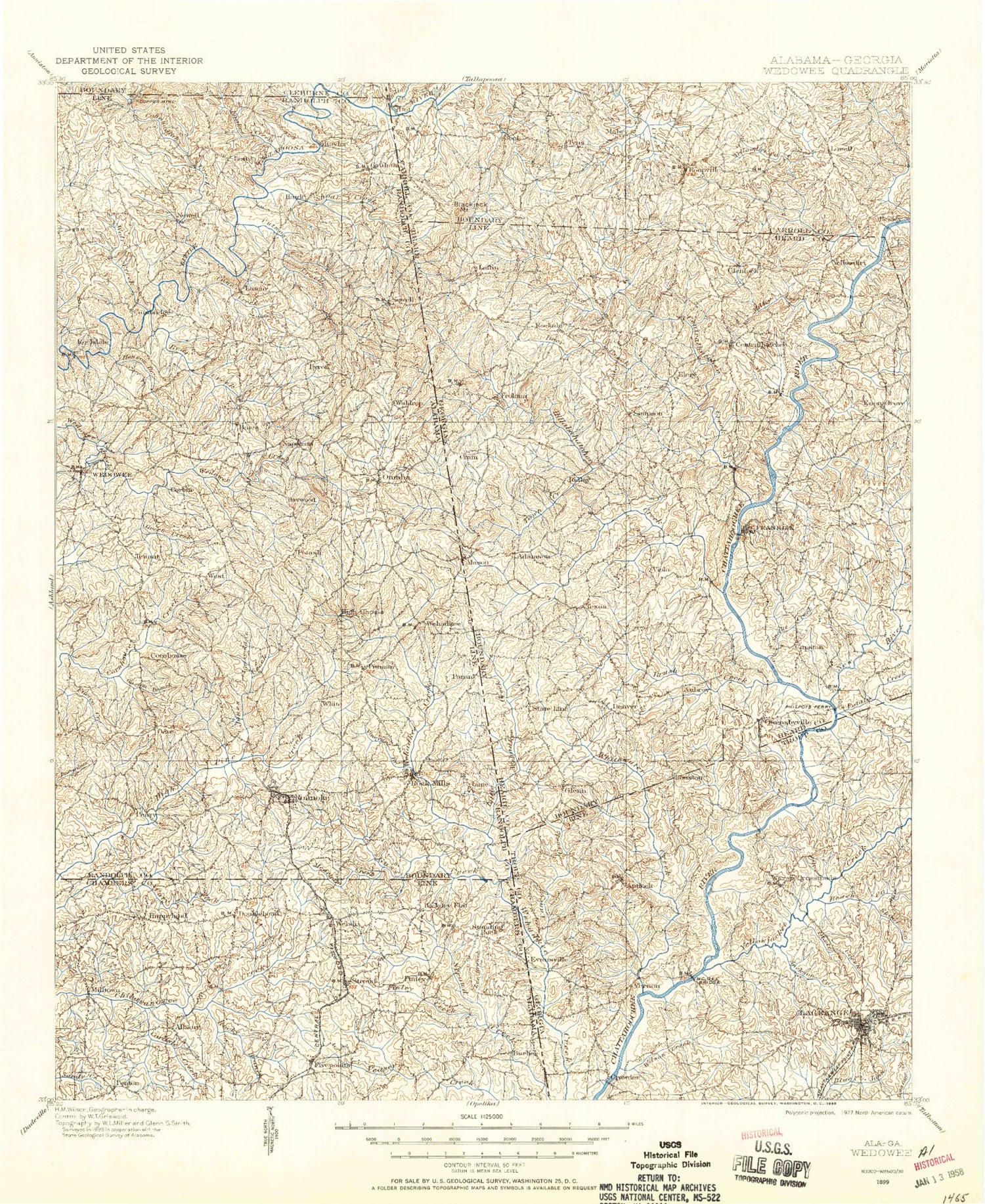
Historical USGS topographic map of Wedowee in the state of Alabama. Scale: 1:125000. Print size: 17" x 24"
This map was published in 1899 and is in the following counties: Carroll, Chambers, Cleburne, Coweta, Heard, Randolph, Troup.
The map contains contour lines, roads, rivers, towns, streams, and lakes. Printed on high-quality waterproof paper with UV fade-resistant inks.
Contains the following named places: Ava, Bartlett Pond, Barton Lake, Bear Creek, Belcher Creek, Boatner Creek, Boone Creek, Burns Lakes, Camp Heard, Cane Creek, Carlisle Creek, Coppers Rock Creek, Crowder Branch, Davis Creek, Dickert, Edwards Branch, Farmer Creek, Finley Creek, Five Points, Frog Level Branch, Gaston Branch, Gay Creek, Gladney Mill Branch, Grady Lake, Graham, Graves Creek, Green Creek, Griswold Creek, Gross Branch, Cuss Creek, Henson Branch, High Shoals Falls, Hillabahatchee Creek, Hornyhead Branch, Horton Shoal, Horton Shoal Branch, Jack Branch, Kidd Branch, Knight Branch, Knokes Creek, Lee Branch, Lee Creek, Liles Branch, Little Wehadkee Branch, Little Wehadkee Creek, Lake Louise, Mathews Branch, Meacham Creek, Mount Olive Community Center, Mud Creek, Nelson Lake, New Hope, New Hope Lake, Panther Branch, Penton, Post Oak Fork, Red Caty Creek, Rice Branch, Rock Stand, Rocky Branch, Rocky Branch, Rollins Creek, Shoal Creek, Standing Rock, Stitt Branch, Stroud, Stroud Creek, Tanyard Branch, Tin Shop, Town Creek, Vineyard Branch, Welch, Whatley Creek, Williams Creek, Willingham Branch, Wolf Creek, Woodland, Woodland Lake, Edge Dam, Edge Lake, Dawson Day Dam, Days Lake, Cunningham Dam, Cunningham Lake, Robinson Dam, Langley Dam, Langley Lake, Hudson Dam, Hudson Lake, Royston Dam, Royston Lake, Brown Dam, Brown Lake, Baker Lake, Baker Dam, High Pine Creek Watershed Dam Number 12, Slaughter Lake, Slaughter Dam, Welch Dam, Welch Lake, Spencer Dam, Spencer Lake, High Pine Water Shed Dam Number 11, High Pine Lake Number 11, Stricklands Lake Dam, Lake Louise Dam, High Pine Creek Lake Number 10, High Pine Creek Watershed Dam Number 10, McMurray Lake, McMurray Dam, Rice Dam, Roanoke City Lake, Roanoke City Reservoir Dam, High Pine Creek Lake Number 2, High Pine Creek Watershed Dam Number 2, High Pine Creek Watershed Dam Number 3, High Pine Creek Lake Number 3, High Pine Creek Lake Number 6, High Pine Creek Watershed Dam Number 6, High Pine Creek Lake Number 4, High Pine Creek Watershed Dam Number 4, High Pine Creek Watershed Dam Number 5, High Pine Creek Lake Number 5, Highpine Creek Watershed Dam Number 1, Highpine Creek Lake Number 1, Schuessler Dam, McManus Dam, McManus Pond, Wedowee Club Lake, Wedowee Club Lake Dam, Higgins Lake, Higgins Dam, Burns Number 2 Dam, Burns Lake Number 2, Carpenter Lake, Carpenter Dam, New Hope Dam, McCain Dam, Moore Dam, Moores Pond, Strain Dam, Nelson Dam, Providence, Roanoke Sewage Disposal Plant, Rocky Branch, Saxon Crossroads, Smyrna, Union, Waldrep, West, Dewberry Recreation Area, Stricklands Lake, Bell Lake, Bud Coffee Branch, Butlers Mill, Cambridge, Cavers Grove, Center Chapel, Corbin, Crystal Lake, Curt, Friendship, High Pine, High Shoals, Hobson, Kaylor, Liberty Grove, Lofty, Midway, Mount Pleasant, Mount Zion, Peace, Jones Creek, Milltown, Rice Pond, Roanoke, Rock Mills, Town Creek, Veasey Creek, Wedowee, Smith and Norred Lake, Cohobadiah Creek, Cutnose Creek, Hickory Flat, Napoleon, Bacon Level, Barrett Crossroads, Big Springs, Broughton, Clackville, Cornhouse, Cumbee Mill, Doublehead, Finley, Gold Ridge, Harmon Crossroads, Hawk, Haywood, Lamar, Lee Crossroads, Lime, McCosh Mill, Moores Crossroads, Morrison Crossroad, Newell, Oakland, Omaha, Paran, Peavy, Pine Hill, Pooles Crossroad, Potash, Red Level, Rock Fence, Sewell, Springfield, Taylors Crossroads, Tennant, Wehadkee, White Crossroads, White Signboard Crossroad, Knott Prospect, Randolph County, Bethel, Penton Raceway, Jordan Chapel, Rockdale, Roanoke County Club, Five Points Division, Roanoke Division, Woodland Division, Cedar Creek, Evansville, Burgess, State Line Park, Mount Olive


