MyTopo
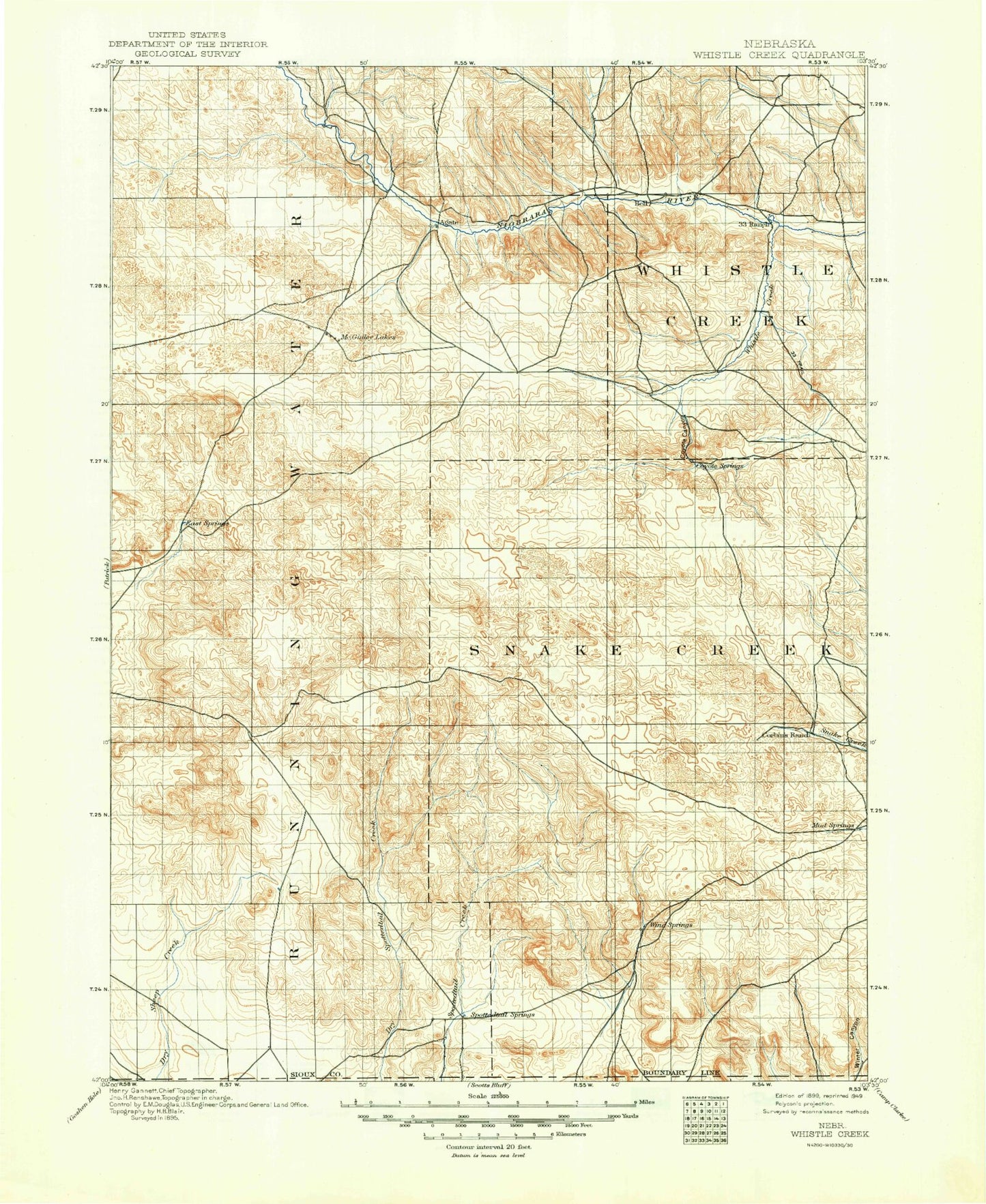
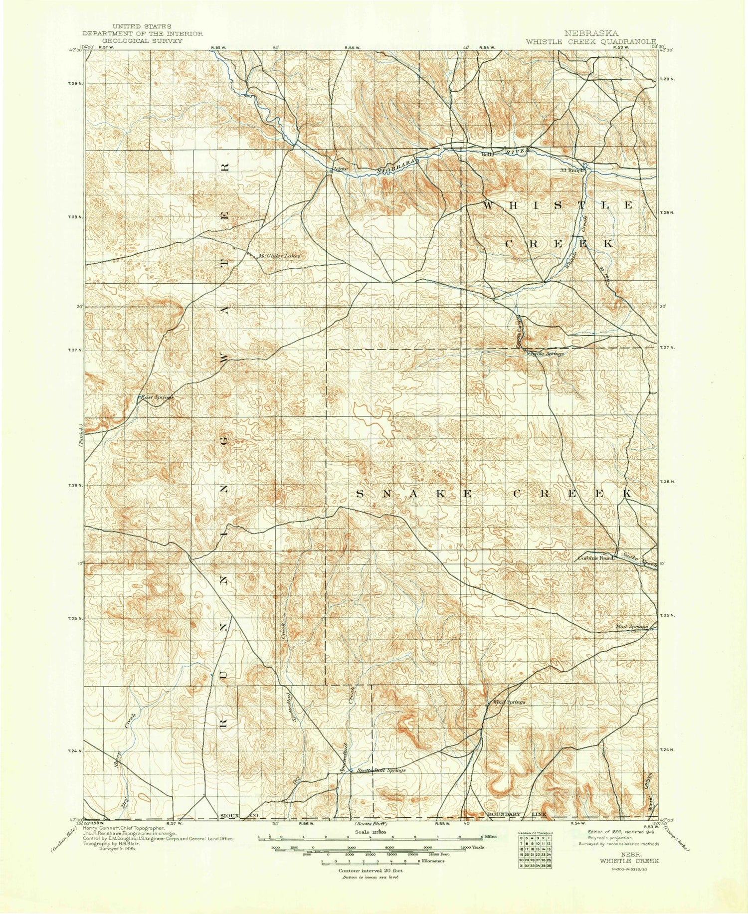
Historic 1899 Whistle Creek Nebraska 30'x30' Topo Map
Couldn't load pickup availability
Historical USGS topographic map of Whistle Creekin the states of Nebraska, Wyoming. Scale: 1:125000. Print size: 17" x 24"
This map was published in 1899 and is in the following counties: Scotts Bluff, Sioux.
The map contains contour lines, roads, rivers, towns, streams, and lakes. Printed on high-quality waterproof paper with UV fade-resistant inks.
Contains the following named places: Agate Fossil Beds National Monument, Butte Windmill, Castile Windmill, Chalk Buttes, Dutch Flats, East Windmill, Mount Edna, Erdman Ranch, F-X Ranch, Goodman Windmill, Grant Windmill, Hatch Ranch, Keating Windmill, Lateral 11 Main, Lateral 12 Main, Lateral 13 Main, Lateral 14 Main, New Windmill, North Windmill, Northwest Windmill, Nunn Ranch, Point Option Ranch, Rattlesnake Hill, Selby Windmill, South Camp, Spottedtail Community Hall, Springer Ranch, The Hat, The Horseshoe, Thompson Windmill, University Lake, Whistle Creek, Wind Springs Creek, Wind Springs Ranch, Agate, Roach, Scoville, Spurior Place, Sioux County, Interstate Canal, Lateral Number 10, Lateral Number 18, Lateral Number 8, Lateral Number 9, Skavdahl Dam, Skavdahl Reservoir, Prickett Ranch, D Applegate Ranch, E Applegate Ranch, Applegate Ranch, Spear-Diamond Ranch, Murphy Ranch, Johnson Ranch, Star-D Ranch, Watson Ranch, Henderson Ranch, Elliott Ranch, Johnson Ranch, Royville Flat, Coyote Springs Creek, Harris Neece Canal, Carnegie Hill, University Hill, Sandoz Ditch, Mentlen Ditch, Agate Fossil Beds Trail, Sheep Creek Election Precinct, Whistle Creek Election Precinct, High Plains Feed Yard, Interstate Canal


