MyTopo
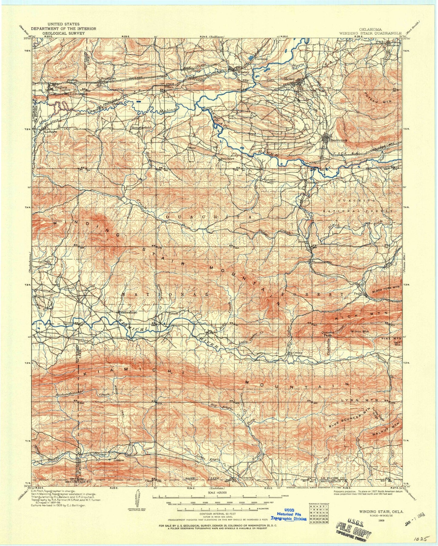
Historic 1909 Winding Stair Oklahoma 30'x30' Topo Map
Couldn't load pickup availability
Historical USGS topographic map of Winding Stair in the state of Oklahoma. Scale: 1:125000. Print size: 18" x 24"
This map was published in 1909 and is in the following counties: Latimer, Le Flore, McCurtain, Pushmataha.
The map contains contour lines, roads, rivers, towns, streams, and lakes. Printed on high-quality waterproof paper with UV fade-resistant inks.
Contains the following named places: Cow Creek, Beaver Lake, Brushy Creek, Cedar Creek, Cedar Creek, Christs Forty Acres Camp, Clear Lake, Coal Creek, Cowhead Divide, Crane Hollow, Crane Mountain, Deadman Hollow, Deadman Mountain, Doe Ridge, Dry Creek, Dutchman Ridge, Fanny Creek, Fisher Branch, Forest Hill, Gobblers Knob, Heavener, High Top, Holly Creek, Holly Mountain, Honess Mountain, Honobia, Honobia Creek, Honobia Trail, Horsepen Creek, Howe, Little Eagle Trail, Little River Mountain, Little Rock Creek, Lost Mountain, Middle Mountain, Monroe, Morris Creek, Mountain Creek, Pashubbe Creek, Potts Creek, Potts Creek, Quarry Isle, Quentin Peak, Rock Creek, Rock Creek, Round Mountain, Smith Ridge, Thompson Creek, Turney Ranch Trail, Wildhorse Mountain, Wister, Wister Dam, Wolf Ridge, Cavanal, Glendale, Independence, Ludlow, Page, Wilton Mountain, Honobia Mountain, Winding Star Campground, Billy Creek Trail, Billy Creek Campground, Pipe Springs Campground, Big Cedar Work Center, John F Kennedy Memorial, Choctaw District Ranger Office, Beech Creek National Scenic Area, Indian Nations National Scenic and Wildlife Area, Winding Stair Mountain National Recreation Area, Cucumber Creek, Allen Branch, Anderson Branch, Baker Branch, Big Cedar, Big Cedar Creek, Billy Creek, Birney Creek, Black Fork, Blackjack Ridge, Blue Bouncer Mountain, Blue Branch, Blue Mountain, Boardstand Flat, Bohannon Creek, Bowman Mountain, Braidwood, Briar Branch, Britton Branch, Brushy Creek, Brushy Mountain, Buffalo Wallow Mountain, Bushman Creek, Buzzard Creek, Buzzards Roost, Camp Tom Hale, Carver Mountain, Caston, Caston Creek, Cedar Branch, Cedar Creek, Cedar Creek, Cedar Creek, Cedar Creek, Cedar Creek, Cedar Creek, Cedar Knob, Cedar Lake, Chancellor Mountain, Clearwater Hollow, Clebit Ridge, Coal Creek, Coleman Ridge, Conley Hollow, Conser, Conser Creek, Coon Mountain, Crooked Branch, Cucumber Creek, Davis Branch, Deadman Creek, Deadman Gap, Dry Run, East Billy Creek, Fanshawe, Frizzell Branch, Forrester, Fourche Maline, Frazier Creek, Gensey Branch, Goat Ridge, Goats Bluff, Goldville Divide, Harvey Mountain, Haw Creek, Haw Creek, Hells Hollow, High Point, Hodge Creek, Hodgen, Holson Creek, Hontubby, Hontubby Creek, Hontubby Falls, Horse Bone Creek, Horseshoe Ridge, Hughes, Kelly Branch, Kiamichi Mountains, Leflore, Lenox, Lenox Ridge, Lewis Creek, Lillard Creek, Little Caston Creek, Little Cedar Creek, Little Eagle Creek, Little Mountain, Long Creek, Lundy Divide, Lynn Mountain, McMurtery Branch, Merle Branch, Muse, Negro Branch, Negro Hollow, Norris, Octavia, Oil Branch, Oil Creek, Patterson Creek, Petros, Pigeon Creek, Pine Mountain, Pine Mountain, Pope Creek, Post Mountain, Post Oak Creek, Potts Mountain, Rattlesnake Canyon, Rattlesnake Mountain, Red Lick Creek, Red Oak Creek, Redbank Hollow, Reichert, Reichert Creek, Robinson Ridge, Rock Creek, Rough Mountain, Round Mountain, Round Mountain, Shawnee Creek, Shawnee Ridges, Short Hollow, Simmons Mountain, Snake Mountain, Spring Mountain, Standpipe Hill, Stapp, Stark Hollow, Sugar Creek, Sulphur Spring Hollow, Summerfield, Sycamore Creek, Tombstone Creek, Tombstone Mountain, Tram Ridge, Turkey Creek, Upper Holson Creek, Victor, Well Hollow, Wheeler Hollow, White Branch, Whitesboro, Wildhorse Creek, Wilson Creek, Winding Stair Mountain, Woods Creek, Yellow Spring Ridge, Zoe, Talihina Visitor Information Station, Talimena State Park, Vertao Electronic Site, Little Pigeon Creek, Kerr Natural Center, Old Military Road Recreation Site, Saddle Rock Creek, Kiamichi Mountain AT&T Electronic Site, Three Sticks Monument, Big Branch, Cedar Lake South Shore, Cedar Lake North Shore, Cedar Lake Recreation Site, Choctaw Work Center, Boardstand Trail, Le Flore County


