MyTopo
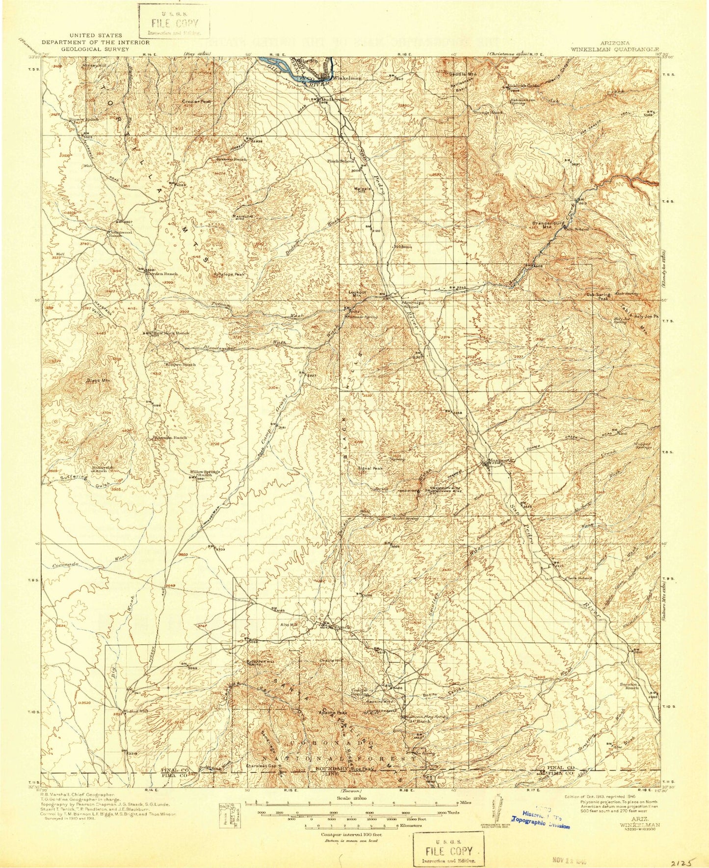
Historic 1913 Winkelman Arizona 30'x30' Topo Map
Couldn't load pickup availability
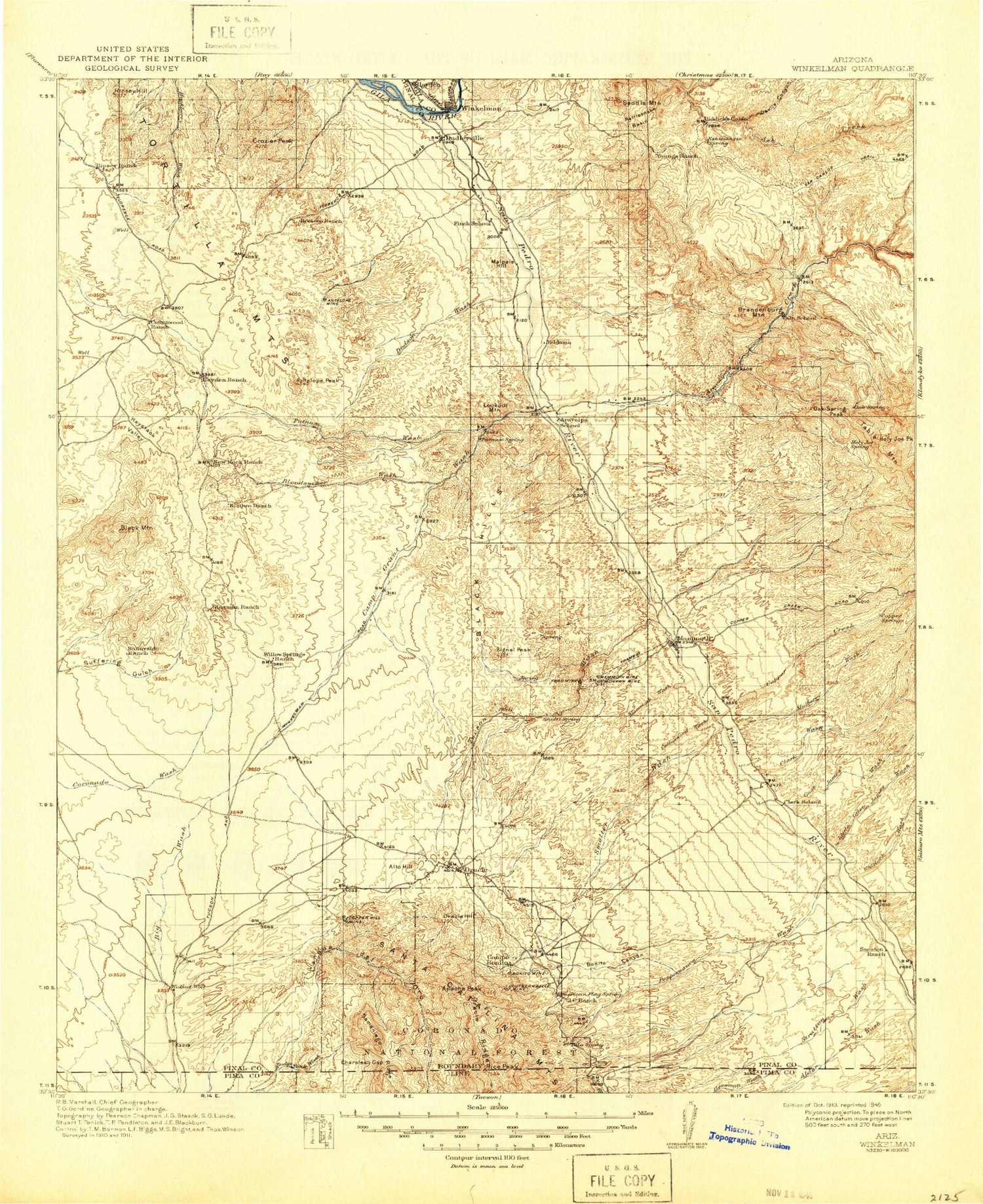
Historical USGS topographic map of Winkelman in the state of Arizona. Scale: 1:125000. Print size: 17" x 24"
This map was published in 1913 and is in the following counties: Gila, Pima, Pinal.
The map contains contour lines, roads, rivers, towns, streams, and lakes. Printed on high-quality waterproof paper with UV fade-resistant inks.
Contains the following named places: Airport Tank, Anderson Tank, Antelope Mine, Antelope Peak, Antelope Ravine, Antelope Tank, Apsey Camp, Aravaipa Farms, Ardmore Mine, Bates Canyon, Bear Springs Canyon, Big Bertha Tank, Big Bertha Wash, Big Pond, Little Black Hills, Black Hills, Black Hills Mine, Black Mountain, Bloodsucker Wash, Bloodsucker Wash, Boulder Mountain, Bowl Creek, Brandenburg Mountain, Brandenburg Wash, Bright Angel Canyon, Browns Wash, Buzan Canyon, Cactus Hill Ranch, Camp Grant Wash, Capgage Wash, Carpas Wash, Cave Canyon, Cedar Corral, Cedar Mountain, Chalk Reservoir, Chirreon Wash, Cienega Wash, Circle S Wash, Clark Ranch, Clark Wash, Cooks Lake, Copper Creek, Copper Creek, Corner Tank, Coronado Tank, Cottonwood Hill, Cowhead Tank, Crescent Ravine, Cronley Wash, Crozier Peak, Cruz Wash, Depression Canyon, Devils Canyon, Dodson Wash, Double Tank, Double Tanks, Drew Wash, Dry Camp, Dry Camp Canyon, Eagle Wash, Eskimazene Ranch, Eskiminzin Fort Rock, Eskiminzin Wash, Falcon Divide, Falcon Valley, Falcon Valley Ranch, Faraway Tank, Faraway Wash, Flat Top Mountain, Flying UW Ranch, Ford Mine, Fortified Peak, Grand Prize Mine, Green Lantern Wash, Gust James Wash, Hagen Canyon, Haydon Ranch, Haystack Valley, Hells Half Acre, Hells Half Acre Canyon, Holy Joe Canyon, Holy Joe Pasture, Holy Joe Peak, Holy Joe Wash, Horse Camp, Horse Camp Canyon, Horse Foot Ranch, Horse Foot Wash, Horse Hills, Hot Boy Mine, Indian Head Mountain, Indian Town Reservoir, Indian Well Wash, Inglish Ranch, James Wash, Javalina Canyon, Jerky Butte, Jerky Wash, Jones Tank, Kelleys Camp, LaJolla Ranch, Last Chance Tank, Lewis Ranch, Lion Camp, Little Gust James Wash, Lookout Mountain, Lower Holding Tank, Malpais Hill, Mammoth, Mammoth Mine, Mammoth Wash, Martinez Mountain, McCarty Tank, Meyer Wash, Mining Mountain, Moffit Tank, Mohawk Mine, Mountain View Tank, Mounterest Ranch, Mud Spring Canyon, Muddy Tank, Muddy Tank Ravine, Mulberry Wash, Nelson Ranch, Number One Dirt Tank, Number Two Dirt Tank, Oak Spring Canyon, Oracle Substation, Palmer Wash, Patterson Ravine, Patterson Tank, Pearl Mine, Periz Peak, Piper Springs Wash, Power Line Reservoir, Power Line Tank, Prospect Canyon, Putnam Wash, PZ Ranch, R-C Ranch, Rabbit Ranch, Rail N Ranch, Rattlesnake Basin, Rattlesnake Canyon, Rattlesnake Tank, Red Basin, Red Hill, Reese Ranch, Represo Tank, Rincon Ranch, Ripsey Hill, Ripsey Ranch, Roach Wash, Road Canyon, Rock House, Romero Ranch, Romero Wash, Sacaton Ranch, Saddle Mountain, Sample Mine, Sample Wash, San Manuel Copper Mine, Satathite Mountain, Scanlon Wash, Signal Peak, Silver Queen Mine, Skeleton Canyon, Small Hill Reservoir, Snyder Tank, Star Flat, Suffering Gulch, Sunnyside Ranch, Swingle Wash, Table Mountain, Tar Mine, Tar Wash, Tascal Ravine, Tascal Tank, Tecolote Ranch, The Basin, The Big House, The Cordones, The Lower Ranch, The Ruiz, Threeway Tank, Threeway Wash, Tipperary Tank, Tony Lopez Ranch, Tortilla Mountains, Triangle L Ranch, Tunnel Ranch, Twentynine Wash, Upper Holding Tank, Upper Sahuarita Dam, Virgus Canyon, Wagner Ranch, Well Canyon, Whitewash Canyon, Whitlock Wash, Whittaker Ranch, Wild Cow Ravine, Wild Cow Tank, Willow Spring Tank, Willow Springs Ranch, Winkelman, Woods Ranch, YLE Canyon, Zapata Mountain, Zapata Wash, Camp Grant Wash Trail, Crescent Tank, James Wash, Javelina Wash, Mammoth Softball Field Park, McKinney Dam, Pearl Wash, Pinal County Parkway Rest Area, Old Finch Ranch, Barkerville, Blake Place, Dudleyville, Hortons Place, Oak Wells, Oracle Junction, Tiger, North Mammoth, Alder Canyon, Alder Wash, Alto Hill, American Flag Hill, American Flag Ranch, Apache Peak, Bachman Wash, Big Wash, Bonito Canyon, Bonito Mine


