MyTopo
Historic 1903 Winthrop Iowa 30'x30' Topo Map
Couldn't load pickup availability
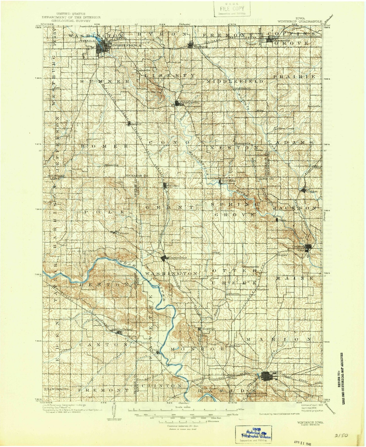
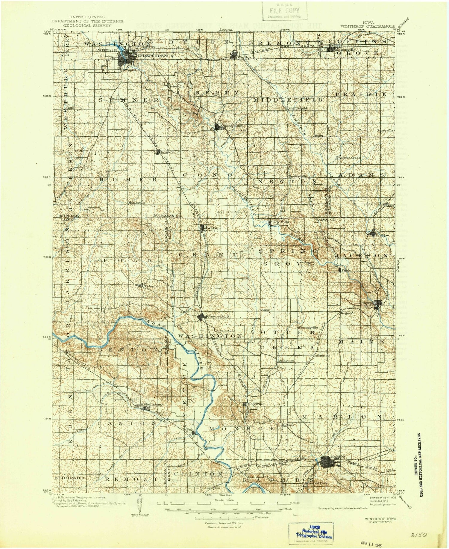
Historical USGS topographic map of Winthrop in the state of Iowa. Scale: 1:125000. Print size: 18" x 24"
This map was published in 1903 and is in the following counties: Benton, Buchanan, Delaware, Linn.
The map contains contour lines, roads, rivers, towns, streams, and lakes. Printed on high-quality waterproof paper with UV fade-resistant inks.
Contains the following named places: Alburnett, Apple Creek, Bear Creek, Benton City Fry Recreation Area, Berrys Run, Big Lewis Lake, Blue Creek, Boies Bend County Park, Broadcast Park, Buffalo Creek County Park, Buffalo Creek County Parkway, Center Point, Central City, Chain Lakes County Park, Coggon, Covington, Donnelly Park, Dry Creek, Dry Creek, Dry Creek, Dry Creek, Eakpicada County Park, East Bluff, East Branch Blue Creek, East Indian Creek, East Otter Creek, Goose Pond, Goose Run, Harter Creek, Hiawatha, Hoefle Dulin Recreation Area, Honey Creek, Horseshoe Lake, Ice House Lake, Independence, Justins Creek, Kenwood Park, Lafayette, Lewis Bottoms, Lewis Bottoms Access County Park, Lime Creek County Park, Lindale Plaza Shopping Center, Little Bear Creek, Little Lewis Lake, Lone Tree Creek, Malone Creek, Manhattan Robbins Lake Park, Marion, Masonville, Midway, Mohawk Park, Morgan Creek, Mud Creek, Mud Lake, Nash Creek, Nelson Creek, New Buffalo, Noelridge Park, Nugents Creek, Opossum Creek, Otter Creek, Otter Creek, Palo, Palo Marsh County Park, Papoose Park, Pierce Park, Pine Creek, Pinicon Ridge County Park, Prairie Center Community Hall, Prairie Creek, Quasqueton, Robbins Lake, Robins, Robinson, Rowley, Sand Creek, Seminole Valley Park, Shaver Park, Shellsburg, Silver Creek, Silver Creek, Smith Creek, Spring Creek, Squaw Creek Regional Park, Tauher Park, The Hogback, Thomas Park, Three Elms County Park, Toddville, Troy Mills, Troy Mills State Fish and Game Area, Troy Mills Wapsie County Park, Tucker Park, Urbana, Walker, Walton Creek, Wapsipinicon River Access County Park, West Branch Blue Creek, West Otter Creek, Wickup Hill County Park, Wildcat Bluff, Wildcat Bluff Recreation Area, Wildcat Creek, Williams Lake, Willow Park, Winthrop, Cedar Rock State Park, Doris, Gatesville, Vista, Hamerville, Ehler, Robbins Lake, Alice, Cheney, Linn Junction, Louisa, Monti, Rogers, Spencers Grove, Buchanan County, Linn County, Eden, Elmcrest Country Club, Indian Creek Country Club, Meadowview Country Club, Squaw Creek Municipal Golf Course, Twin Pines Golf Course, Wapsipinicon Country Club, Duane Arnold Energy Center, Zeller Memorial Park, Cedar Rapids, Nugent, Epley, Rural, Dry Creek, Wapsa, West Prairie, Paris, Valley Farm, Tower Hill, Atlanta, Newtonville, Cana, Township of Adams, Township of Benton, Township of Canton, Township of Cono, Township of Fayette, Township of Grant, Township of Harrison, Township of Homer, Township of Jackson, Township of Liberty, Township of Maine, Township of Marion, Township of Middlefield, Township of Monroe, Township of Newton, Township of Otter Creek, Township of Polk, Township of Prairie, City of Shellsburg, Township of Spring Grove, Township of Sumner, Township of Washington, Masonville, Coffins Grove County Park, Buffalo Creek Country Club, Winthrop, Veterans Memorial Park, Buffalo Creek Wildlife Area, Buffalo Creek Access Area, Rowley Fen Area, Blazing Star Prairie Area, Sand Creek Access Area, Hoover Wildlife Area, Kounty Pond - Hoffman Woods Area, Bearbower Sand Prairie Area, Crumbacher Wildlife Area, Buchanan County Fairgrounds, Independence Motor Speedway, Independence, Pine Ridge Mobile Home Court, Ben Haven Mobile Home Park, Pine Creek County Wildlife Area, Polk Township Wildlife Area, Warren H Pangborn Wildlife Area, Shellsburg Elevator, Shellsburg, Rock Island Botanical State Preserve, Hanging Bog State Preserve, Chain-O-Lakes Wildlife Management Area, Rogers, Saint Andrews Golf Club, Ushers Ferry Historical Village, Ellis Golf Course, McLouds Run Park, Town and Country Shopping Center, Northland Spuare Shopping Center, Daniels and the Old Dubuque Road Historical Marker, Marion Football Field, Marion, Marion Heights Shopping Center, East End Shopping Center, Hunters Ridge Golf Course, Chatham Park, Eagle Ridge Park, Marion Mobile Home Park, Squaw Creek Village, Lindale Manor, Legion Park, Willowood Park, Starry Park, South Landfill Park, Hanna Park, Lininger Park, Boyson Park, Elza Park, Coggon, Central City, Rolling Acres Golf Course, Alburnett, Robins Park, Palo, Hiawatha, Hiawatha Oak Brook Court, Sunset Village, Bali Hai Estates Mobile Home Park, Tower Terrace Mobile Home Park, Hiawatha Park, Wakpicada County Park, Cedar Rapids Country Club, Pleasant Creek State Park, John Osborn Historical Marker, City of Coggon


