
MyTopo
Classic USGS Abbott Lake Montana 7.5'x7.5' Topo Map
Regular price
$16.95
Regular price
Sale price
$16.95
Unit price
per
Couldn't load pickup availability
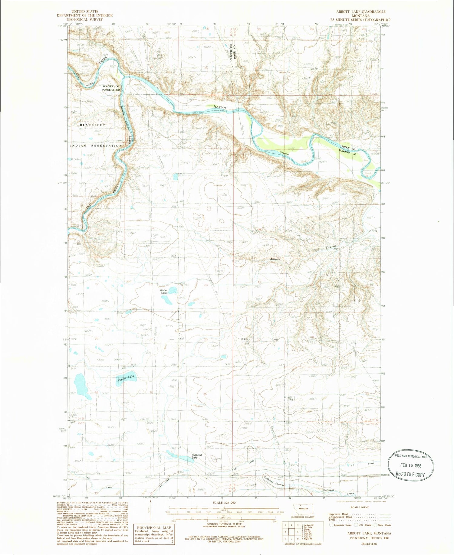
Historical USGS topographic quad map of Abbott Lake in the state of Montana. Map scale may vary for some years, but is generally around 1:24,000. Print size is approximately 24" x 27"
This quadrangle is in the following counties: Glacier, Pondera, Toole.
The map contains contour lines, roads, rivers, towns, and lakes. Printed on high-quality waterproof paper with UV fade-resistant inks, and shipped rolled.
Contains the following named places: 30N04W06CDBB01 Well, Abbott Coulee, Abbott Lake, Abbott Lake School, Abbott Ridge, AN Canal, Bullhead Drop, Bullhead School, Bullhead Springs, Cut Bank, Cut Bank Creek, Stetler Lakes, Sullivan Bridge, Two Medicine River, Wilkins Ranch, Willow Rounds


