MyTopo
Classic USGS Abbott Lake New Mexico 7.5'x7.5' Topo Map
Regular price
$16.95
Regular price
Sale price
$16.95
Unit price
per
Couldn't load pickup availability
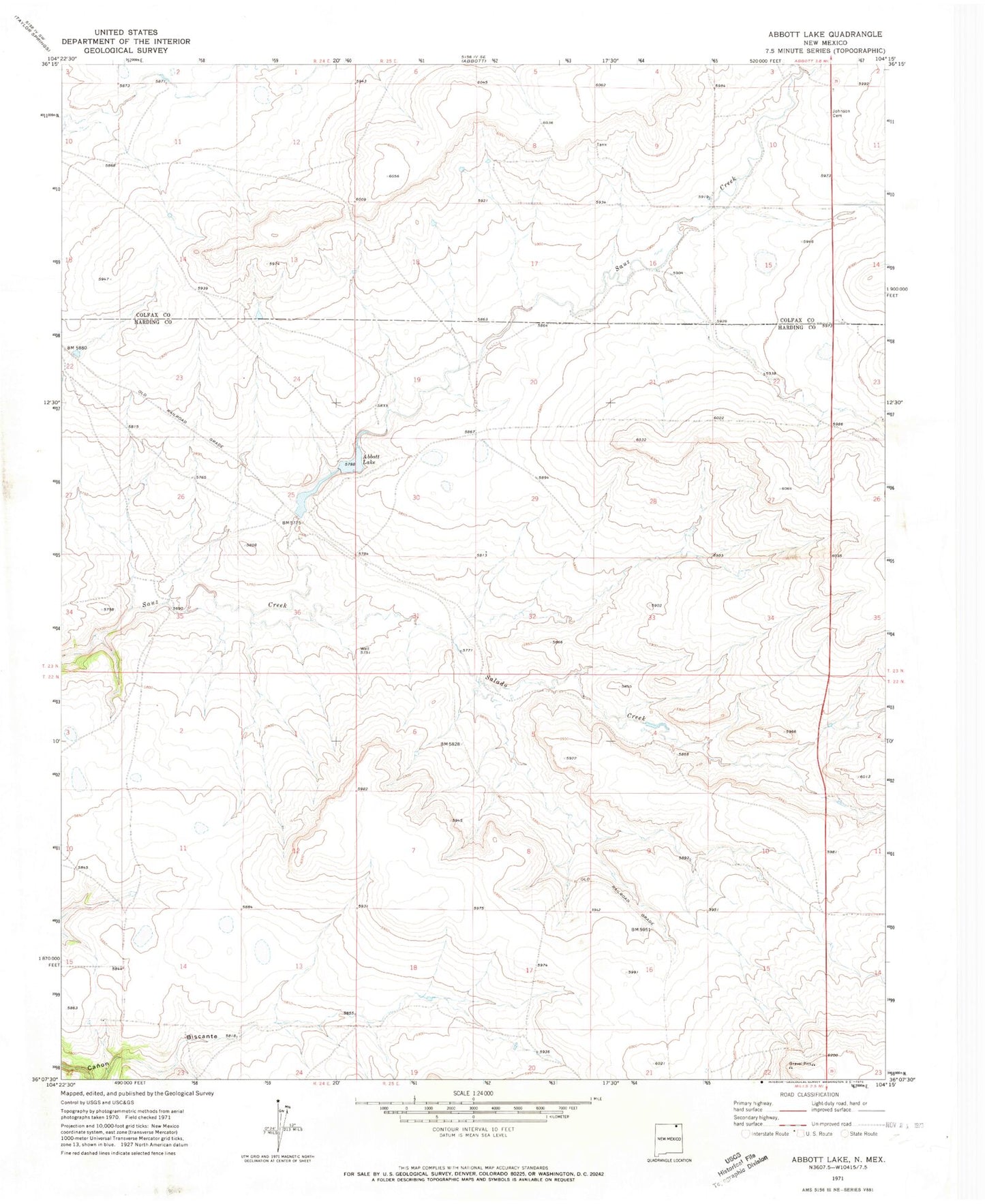
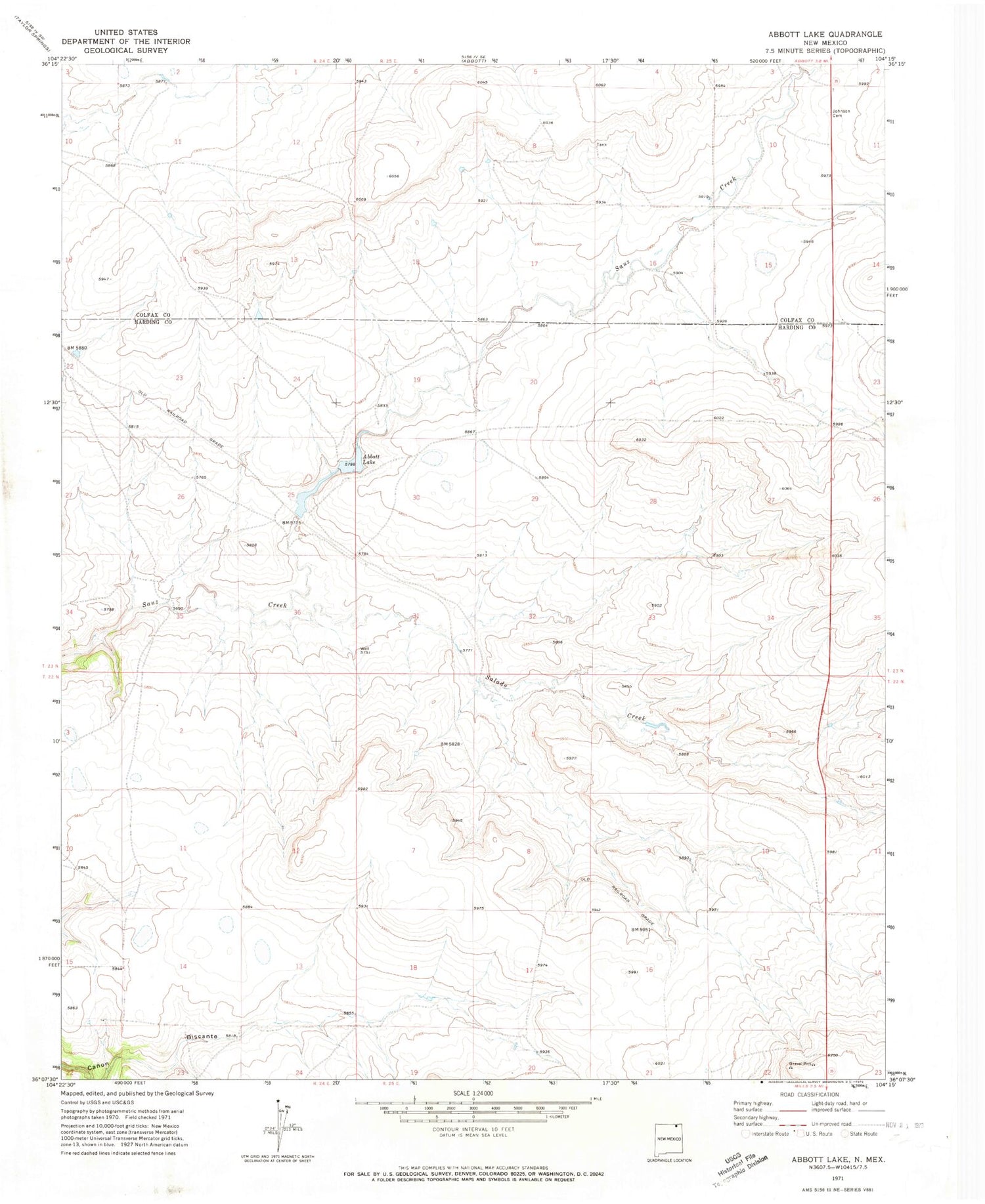
Historical USGS topographic quad map of Abbott Lake in the state of New Mexico. Map scale may vary for some years, but is generally around 1:24,000. Print size is approximately 24" x 27"
This quadrangle is in the following counties: Colfax, Harding.
The map contains contour lines, roads, rivers, towns, and lakes. Printed on high-quality waterproof paper with UV fade-resistant inks, and shipped rolled.
Contains the following named places: Abbott Lake, Abbott Lake Lower Dam, Abbott Lake Upper Dam, Alex Draw, Arroyo Ojo Verde, Case Ranch, Craft Ranch, Johnson Cemetery, Ojo de Verde, Salado Creek