MyTopo
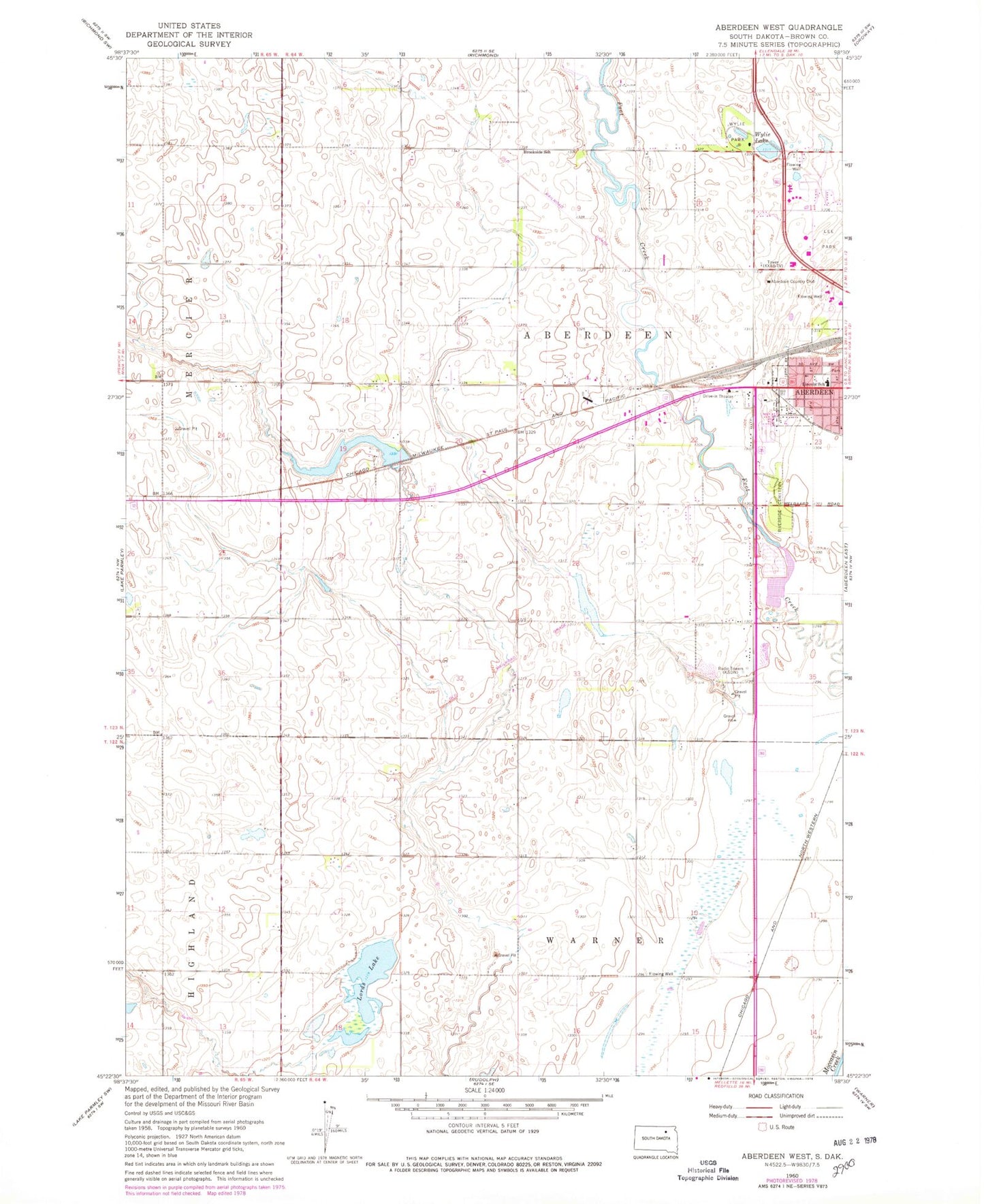
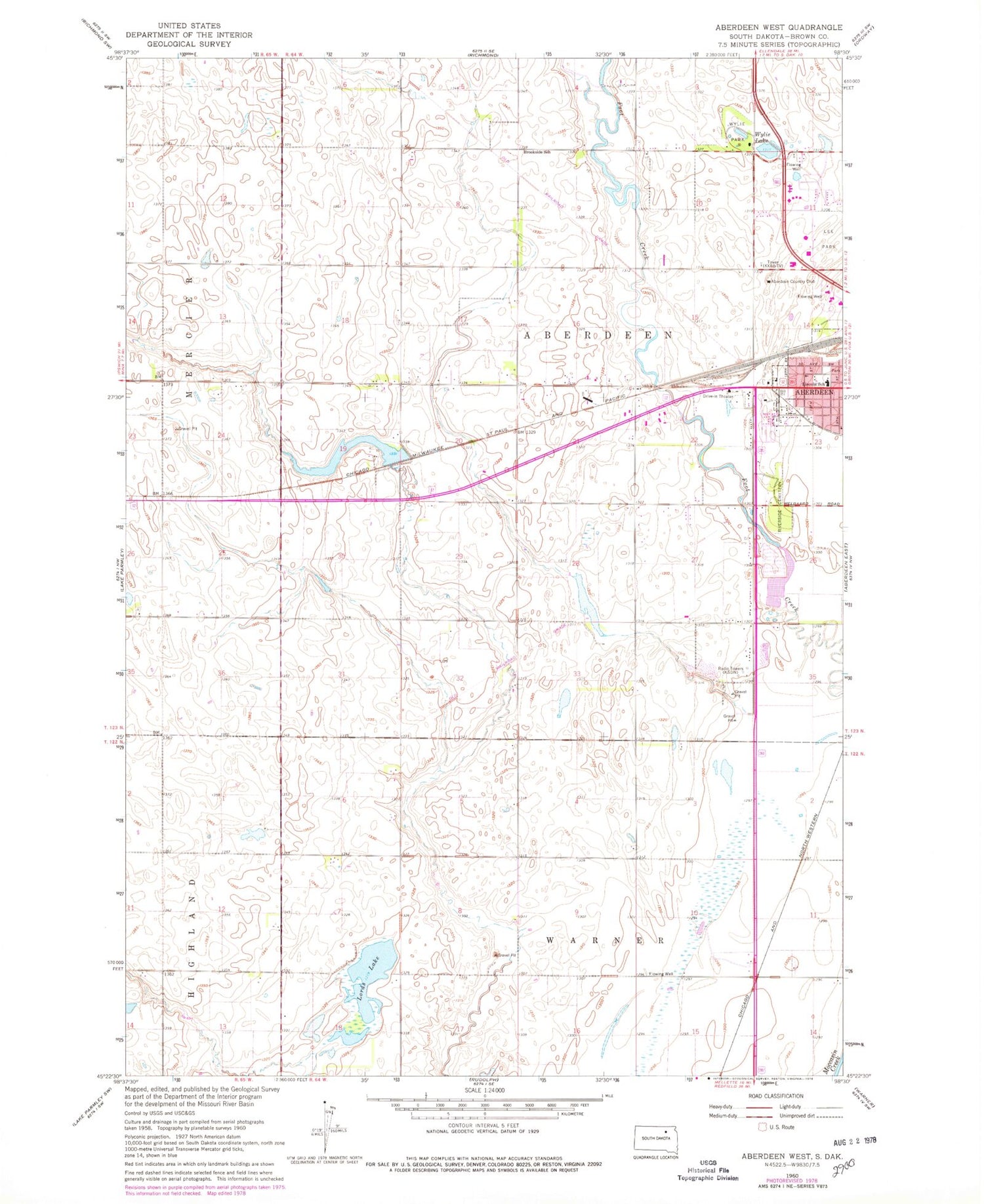
Classic USGS Aberdeen West South Dakota 7.5'x7.5' Topo Map
Couldn't load pickup availability
Historical USGS topographic quad map of Aberdeen West in the state of South Dakota. Map scale may vary for some years, but is generally around 1:24,000. Print size is approximately 24" x 27"
This quadrangle is in the following counties: Brown.
The map contains contour lines, roads, rivers, towns, and lakes. Printed on high-quality waterproof paper with UV fade-resistant inks, and shipped rolled.
Contains the following named places: Aberdeen Country Club, Aberdeen Fire and Rescue / Advanced Care Station 2, Brookside School, Dakota Plains Surgical Center, Harlin Addition, KSDN-AM (Aberdeen), KSDN-FM (Aberdeen), Lee Park, Lincoln School, Lords Lake, Riverside Cemetery, South Dakota Highway Patrol District 1, Township of Aberdeen, Wylie Lake, Wylie Park, ZIP Code: 57401