MyTopo
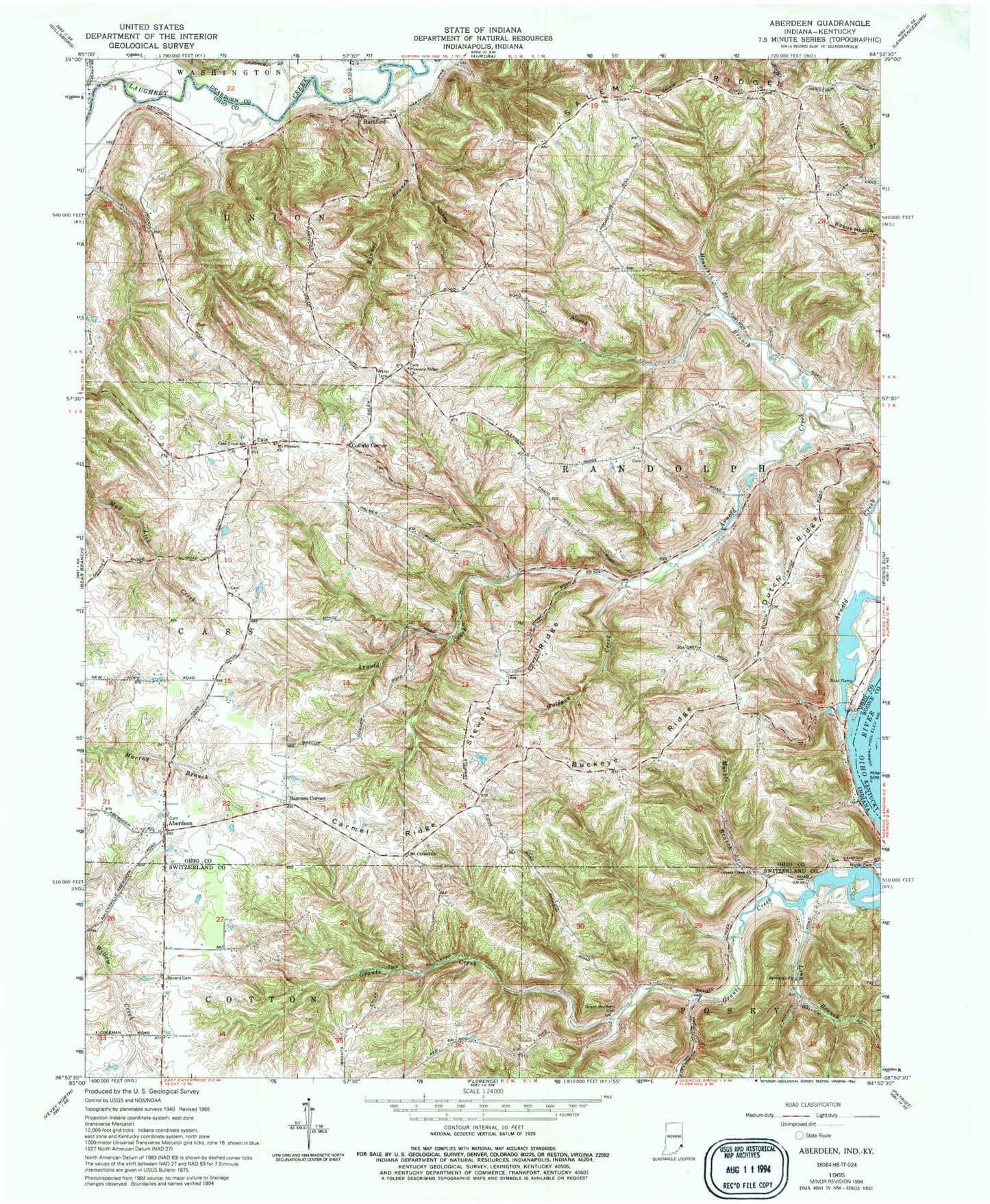
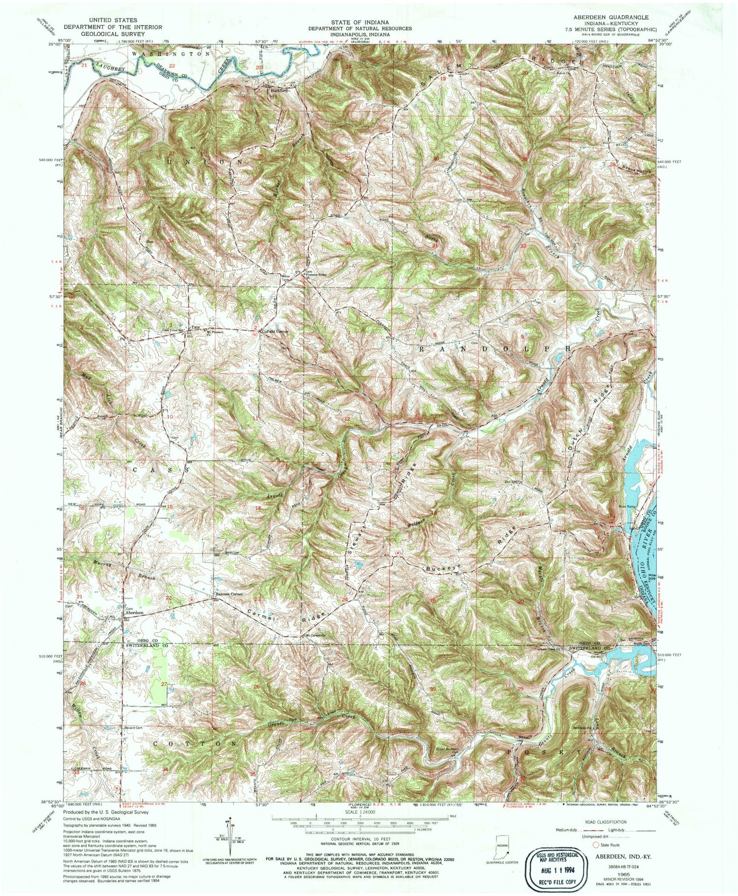
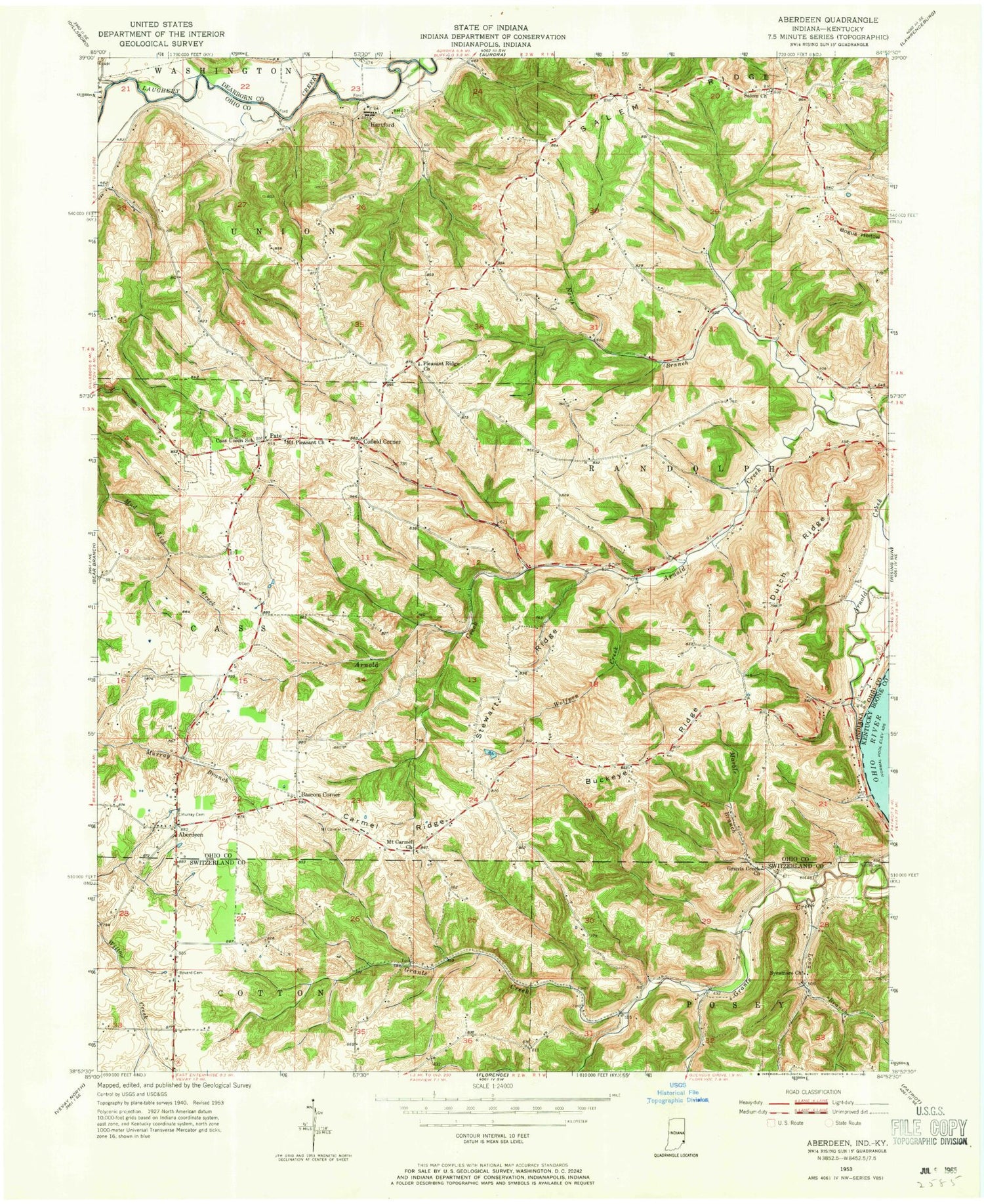
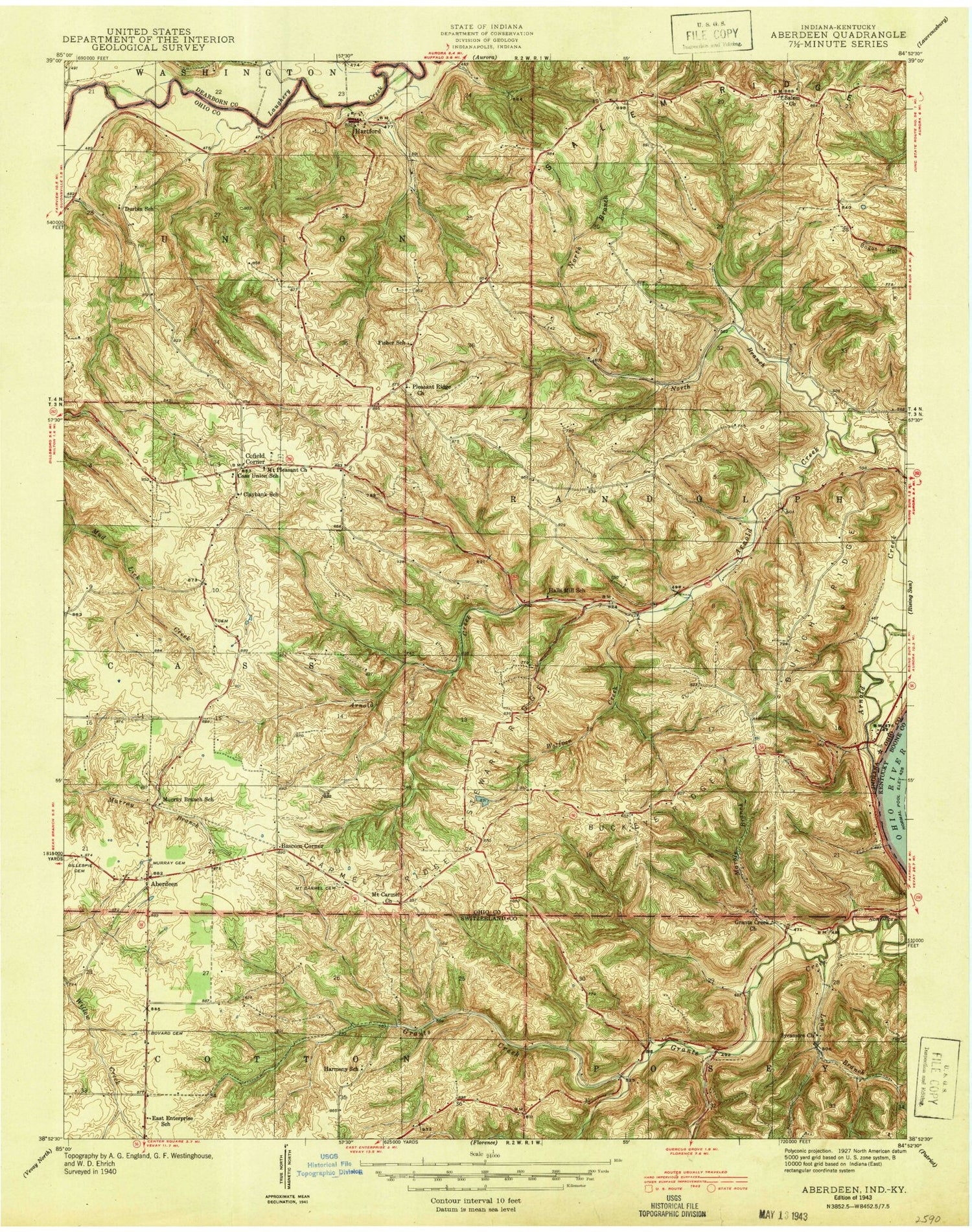
Classic USGS Aberdeen Indiana 7.5'x7.5' Topo Map
Couldn't load pickup availability
Historical USGS topographic quad map of Aberdeen in the state of Indiana. Map scale may vary for some years, but is generally around 1:24,000. Print size is approximately 24" x 27"
This quadrangle is in the following counties: Boone, Dearborn, Ohio, Switzerland.
The map contains contour lines, roads, rivers, towns, and lakes. Printed on high-quality waterproof paper with UV fade-resistant inks, and shipped rolled.
Contains the following named places: Aberdeen, Arnold Creek, Bascom Corner, Bovard Cemetery, Buckey Ridge, Carmel Ridge, Cass Union School, Cofield Corner, Dutch Ridge, Grant Brothers Cemetery, Grants Creek Church, Hartford, Henschen Branch, Herbs Field, Kinnet Branch, Little Field Cemetery, Marble Branch, Mount Carmel Church, Mount Pleasant Church, North Branch Arnold Creek, North Cemetery, Ohio County, Pleasant Ridge Church, Rising Sun Airport, Salem Church, Salem Ridge, Stewart Ridge, Sycamore Church, Township of Cass, Township of Randolph, Township of Union, Wolfpen Creek, WSCH-FM (Aurora), ZIP Code: 47040