
MyTopo
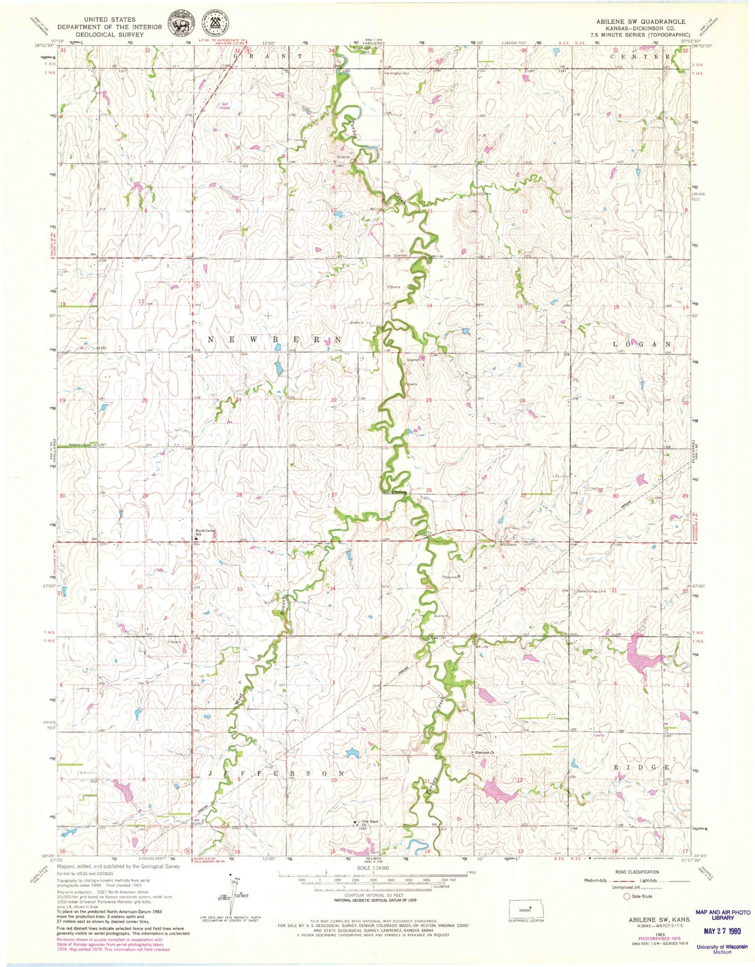
Classic USGS Abilene SW Kansas 7.5'x7.5' Topo Map
Couldn't load pickup availability
Historical USGS topographic quad map of Abilene SW in the state of Kansas. Map scale may vary for some years, but is generally around 1:24,000. Print size is approximately 24" x 27"
This quadrangle is in the following counties: Dickinson.
The map contains contour lines, roads, rivers, towns, and lakes. Printed on high-quality waterproof paper with UV fade-resistant inks, and shipped rolled.
Contains the following named places: Bell Spring, Belle Springs Cemetery, Dickinson County, Ebenezer Baptist Cemetery, Ebenezer Baptist Church, Farmington Cemetery, KSAJ - FM (Abilene), New Basel, New Basel Cemetery, New Basel United Church of Christ, Newburn Cemetery, Rural Center Church, Rural Center Elementary School, Township of Newbern, West Branch Turkey Creek


