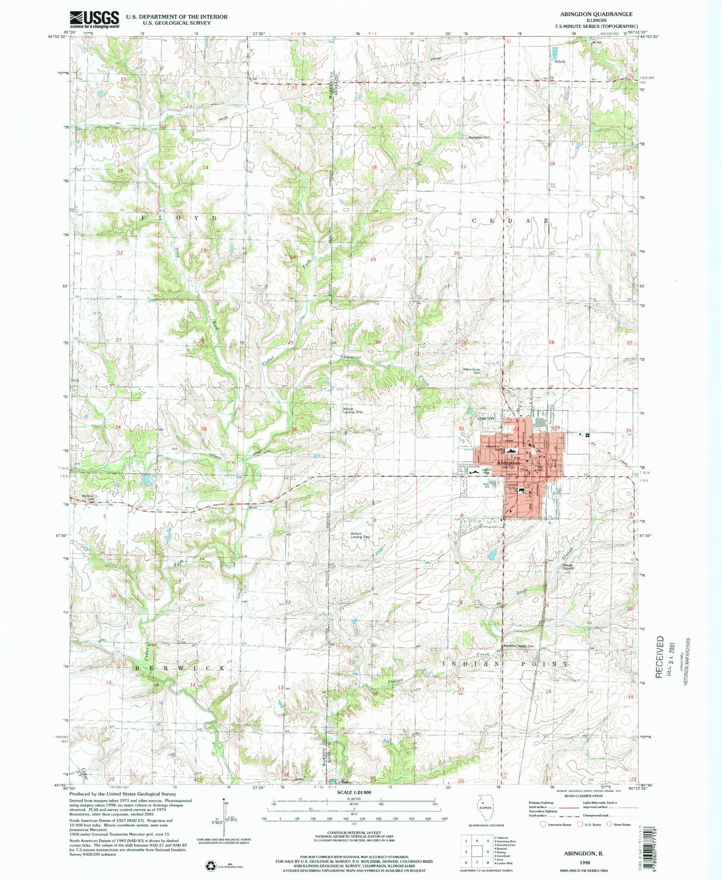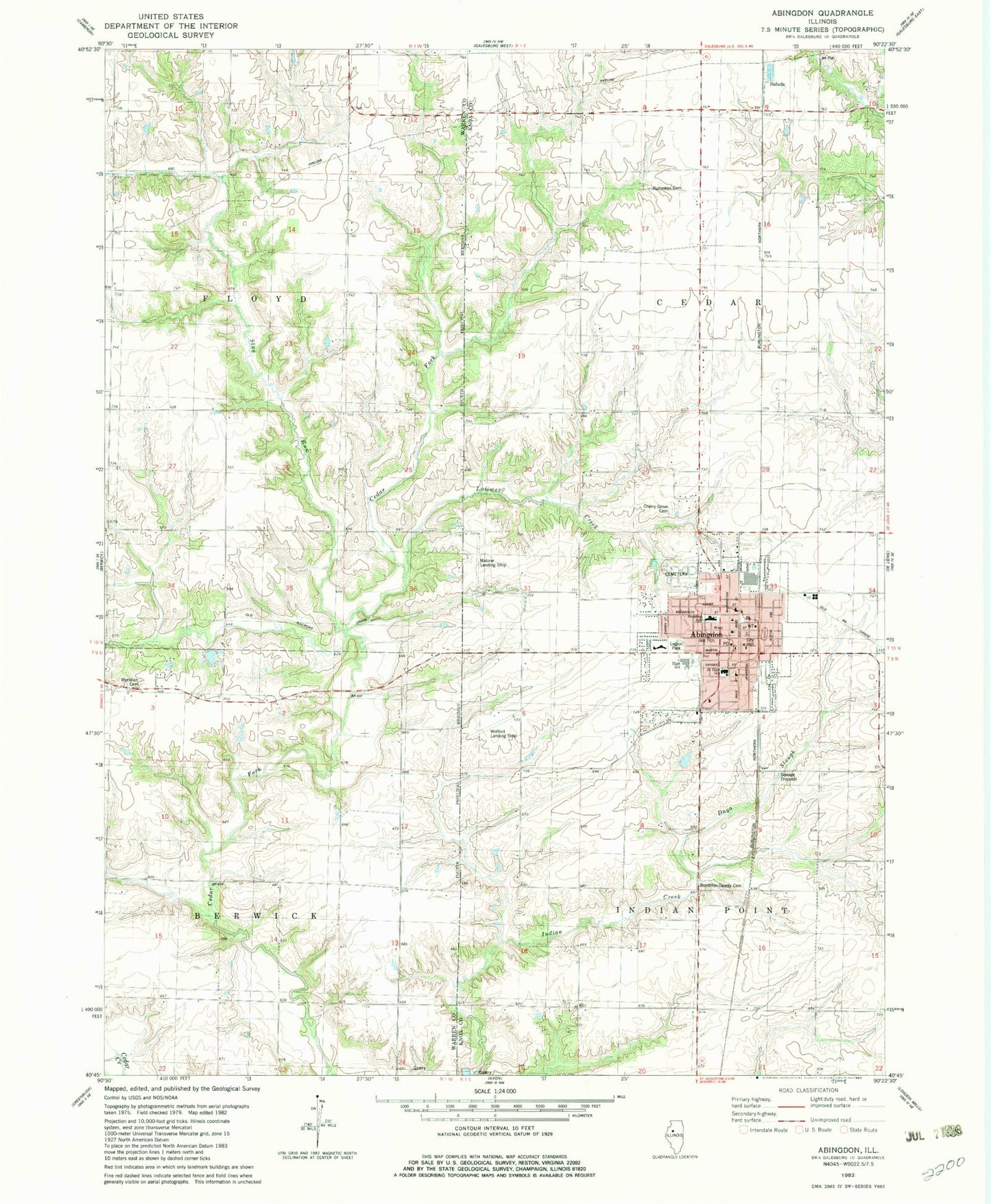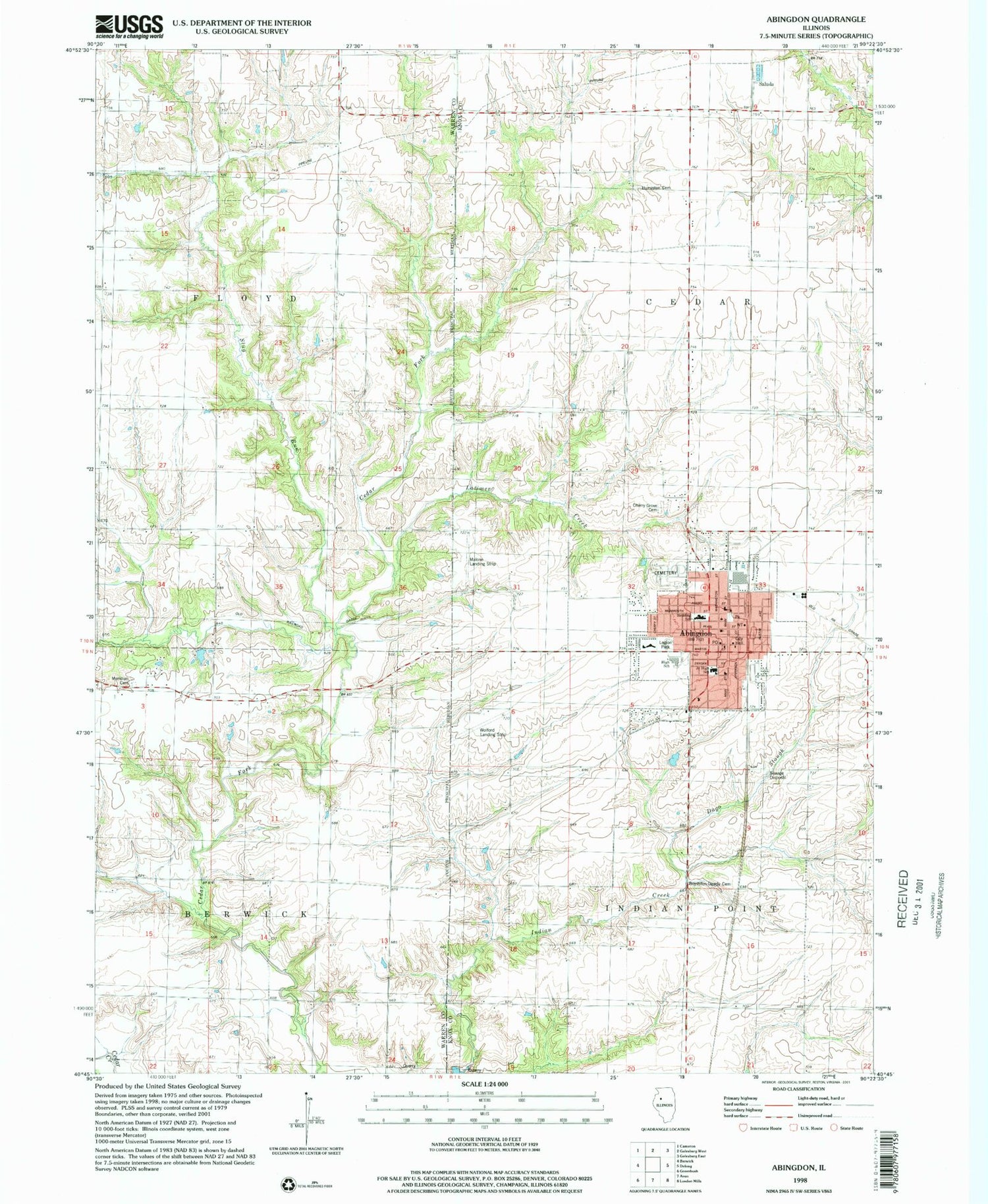

MyTopo
Classic USGS Abingdon Illinois 7.5'x7.5' Topo Map
Couldn't load pickup availability
Historical USGS topographic quad map of Abingdon in the state of Illinois. Map scale may vary for some years, but is generally around 1:24,000. Print size is approximately 24" x 27"
This quadrangle is in the following counties: Knox, Warren.
The map contains contour lines, roads, rivers, towns, and lakes. Printed on high-quality waterproof paper with UV fade-resistant inks, and shipped rolled.
Contains the following named places: Abingdon, Abingdon Cemetery, Abingdon City Hall, Abingdon Fire Protection District Station 1, Abingdon High School, Abingdon Junior High School, Abingdon Police Department, Abingdon Post Office, Abingdon Water Works, All Souls Roman Catholic Church, Boydston - Dawdy Cemetery, Cherry Farm School, Cherry Grove Cemetery, Cherry Grove School, City of Abingdon, Cross Lane School, First Christian Church, First Church of the Nazarene, First Congregational Church, First Methodist Church, Hedding Grade School, Heller School, Indian Point School, Italian Slough, John Mosser Public Library, Kenan School, Latimer Creek, Legion Park, Lincoln Public School, Louisville School, Malone Landing Strip, Meridians Cemetery, Pretty Prairie School, Sacred Hearth Catholic Church, Saluda, Slug Run, Stringtown School, Township of Cedar, Township of Floyd, Township of Indian Point, Warren School, Washington Public School, Wolford's Airport, ZIP Code: 61410