MyTopo
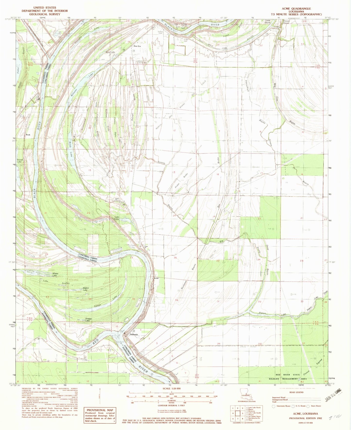
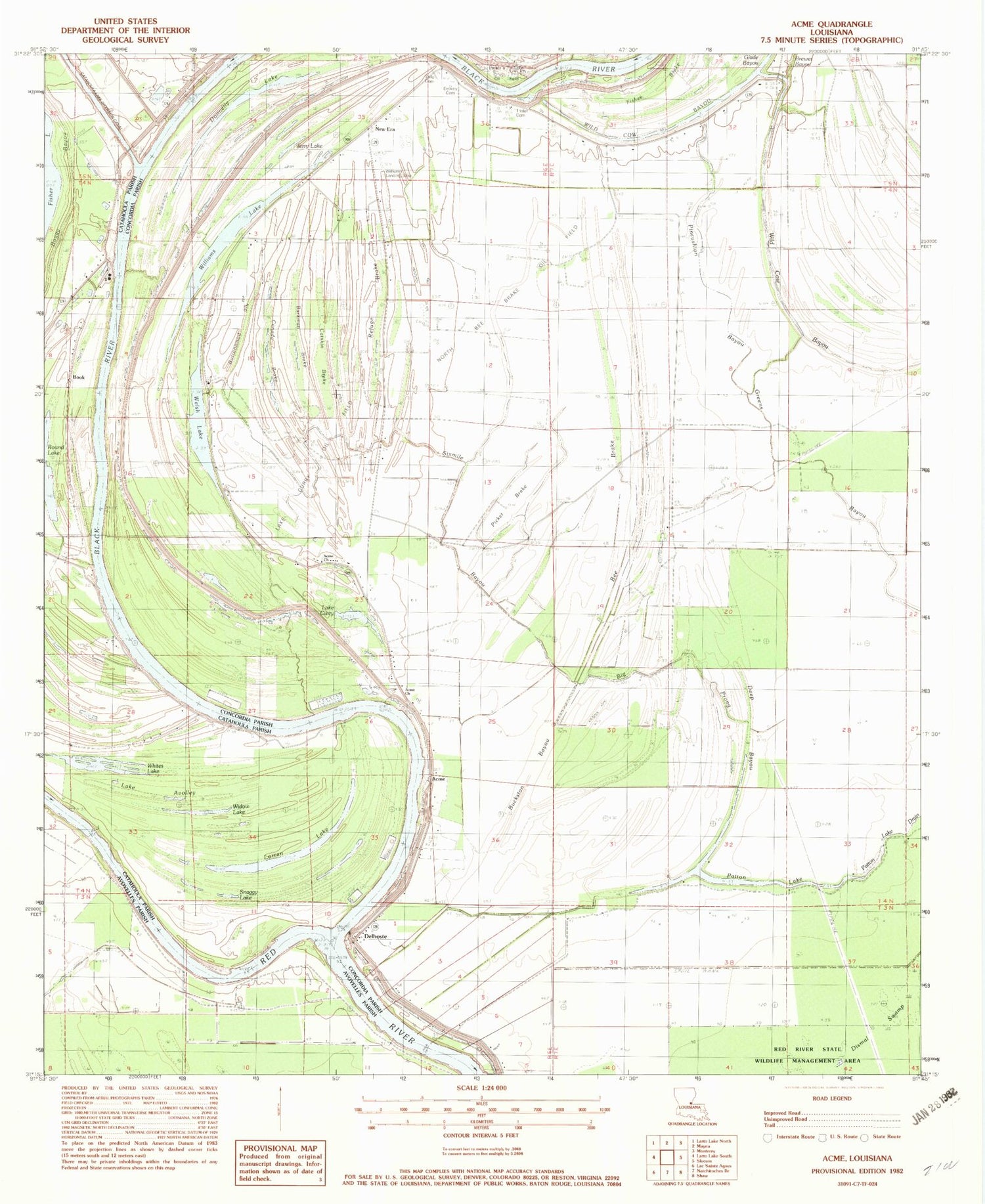
Classic USGS Acme Louisiana 7.5'x7.5' Topo Map
Couldn't load pickup availability
Historical USGS topographic quad map of Acme in the state of Louisiana. Map scale may vary for some years, but is generally around 1:24,000. Print size is approximately 24" x 27"
This quadrangle is in the following counties: Avoyelles, Catahoula, Concordia.
The map contains contour lines, roads, rivers, towns, and lakes. Printed on high-quality waterproof paper with UV fade-resistant inks, and shipped rolled.
Contains the following named places: Acme, Acme Church, Acme Post Office, Bee Brake, Bee Brake Oil Field, Big Prong, Black River, Book, Brewer Bayou, Buckston Bayou, Burkman Brake, Buttonwood Slough, Canada Brake, Catskin Brake, Dale Cemetery, Deep Bayou, Delhoste, Dewey Cemetery, Donnelly Lake, Fisher Brake, Jerry Lake, Lake Avolley, Lake Curry, Lake Curry Oil Field, Little Holland Bayou, Lorran Lake, Lorran Lake Oil Field, New Era, New Era School, North Bee Brake Oil Field, Parker Lake Oil Field, Patton Lake, Patton Lake Oil Field, Picket Brake, Pincushion Bayou, Refuge Brake, Sixmile Bayou, Snaggy Lake, Trisler Cemetery, Welsh Lake, Whites Lake, Widow Lake, Wild Cow Bayou, Williams Lake, Williams Landing Strip