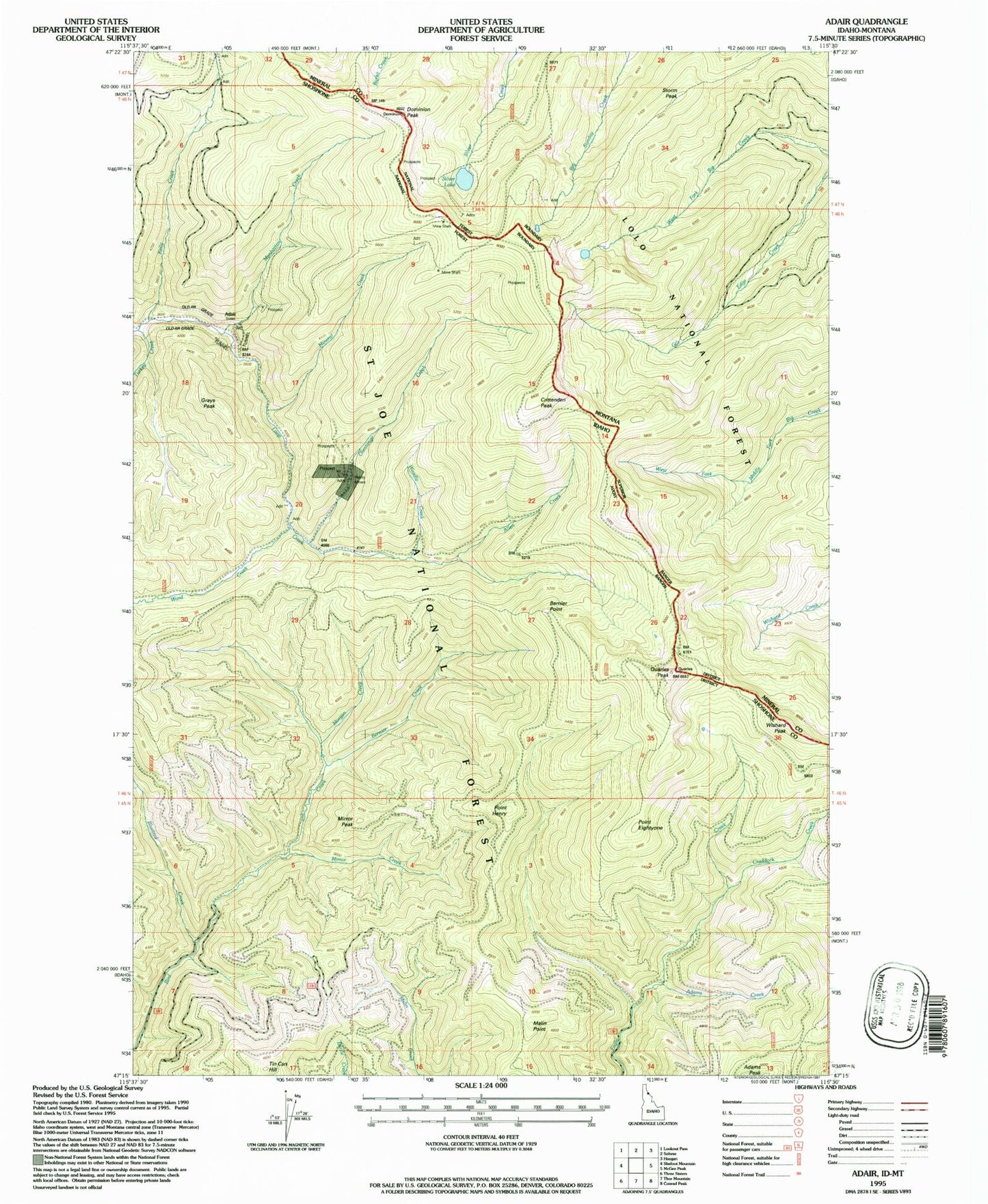
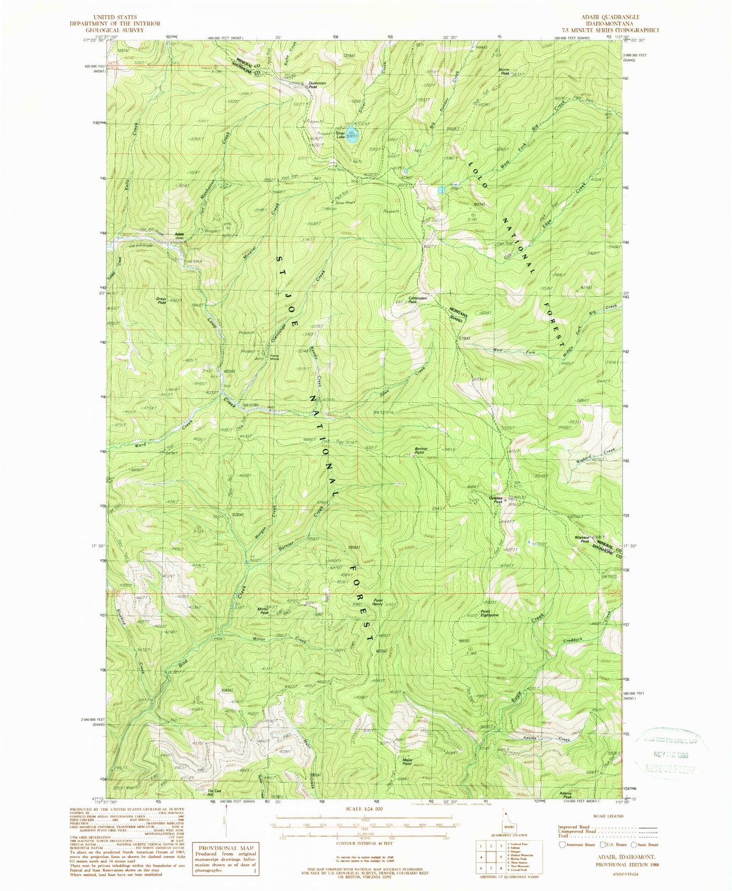
MyTopo
Classic USGS Adair Idaho 7.5'x7.5' Topo Map
Couldn't load pickup availability
Historical USGS topographic quad map of Adair in the states of Idaho, Montana. Typical map scale is 1:24,000, but may vary for certain years, if available. Print size: 24" x 27"
This quadrangle is in the following counties: Mineral, Shoshone.
The map contains contour lines, roads, rivers, towns, and lakes. Printed on high-quality waterproof paper with UV fade-resistant inks, and shipped rolled.
Contains the following named places: Adams Creek, Allen Creek, Bernier Creek, Bernier Point, Bluebird Creek, Craddock Creek, Point Eightyone, Grays Peak, Point Henry, Malin Point, Manhattan Creek, Miller Mine (historical), Mineral Creek, Mirror Creek, Mirror Peak, Morgan Creek, Olentange Creek, Quarles Peak, Tin Can Hill, Turkey Creek, Ward Creek, Wendle Creek, Wishard Peak, Monitor Mine (historical), Monitor Mines (historical), Adair, Hansey Mines, Crittenden Peak, Kelly Creek, Dominion Peak, Silver Lake, Storm Peak, Silver Lake Mine, Silver Lake West Mine