MyTopo
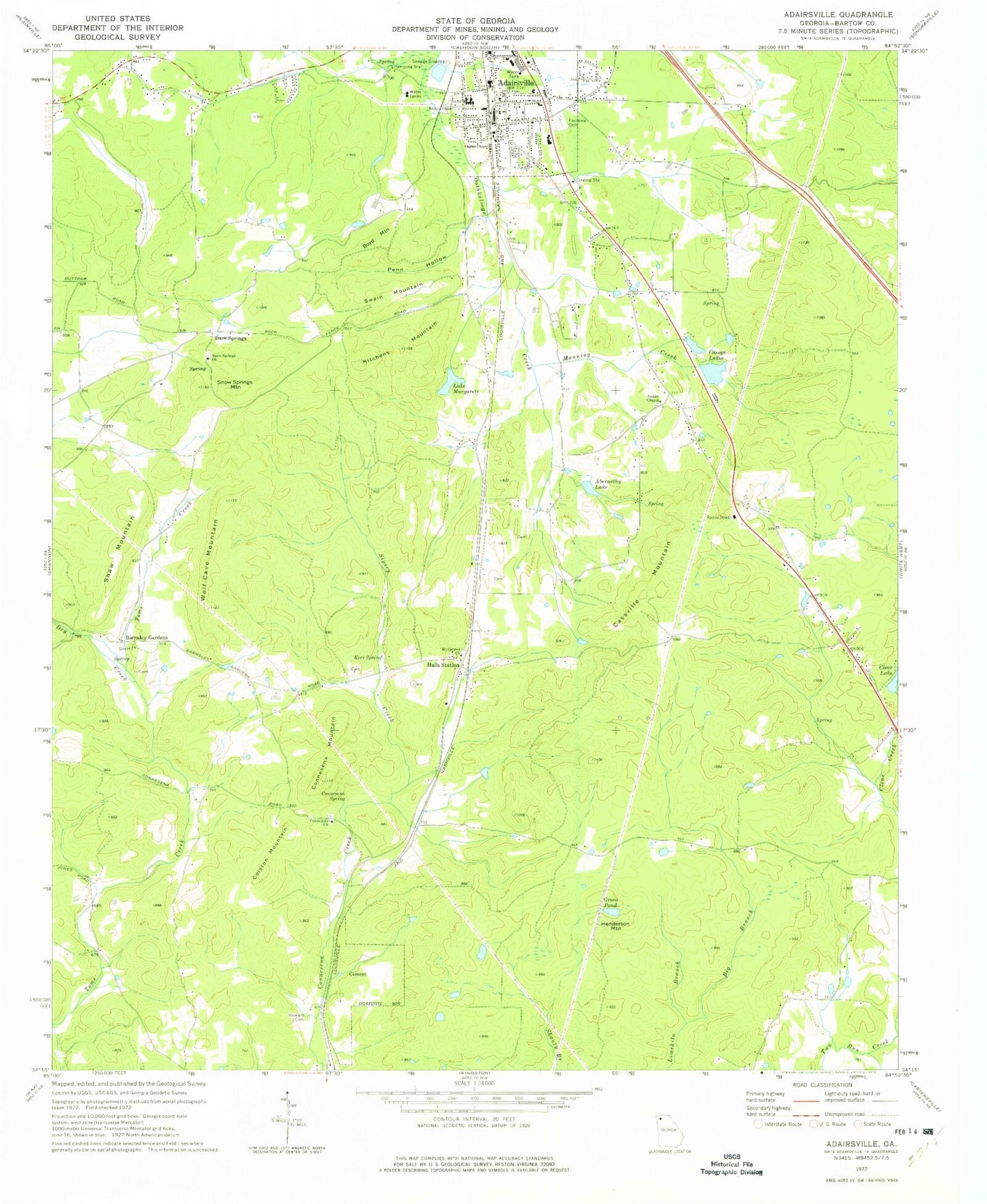
Classic USGS Adairsville Georgia 7.5'x7.5' Topo Map
Couldn't load pickup availability
Historical USGS topographic quad map of Adairsville in the state of Georgia. Map scale may vary for some years, but is generally around 1:24,000. Print size is approximately 24" x 27"
This quadrangle is in the following counties: Bartow.
The map contains contour lines, roads, rivers, towns, and lakes. Printed on high-quality waterproof paper with UV fade-resistant inks, and shipped rolled.
Contains the following named places: Abernethy Lake, Adairsville, Adairsville Baptist Church, Adairsville Division, Adairsville Elementary School, Adairsville High School, Adairsville Historic District, Adairsville Middle School, Adairsville Police Department, Adairsville Post Office, Adairsville Quarry, B F Shaw Family Cemetery, Barnsley Family Cemetery, Barnsley Gardens, Bartow County Sheriff Adairsville, Big Branch, Boyd Mountain, Cagles Chapel, Caseys Lakes, Caseys North Lake, Caseys North Lake Dam, Caseys South Lake, Caseys South Lake Dam, Cassville Mountain, Cement, City of Adairsville, Clear Lake Dam, Colston Mountain, Connesena Baptist Church Cemetery, Connesena Church, Connesena Mountain, Connesena Spring, Cunningham School, Dry Creek, East View Cemetery, Green Pond, Halls, Halls Station, Henderson Mountain, James M Shaw Family Cemetery, John G Shaw Cemetery, Kerr Spring, Kingston Division, Kitchens Mountain, Lake Margarete, Lake Margarete Dam, Living Way Christian School, Manning Creek, Mount Carmel Church, Mount Carmel Methodist Church Cemetery, Penn Hollow, Schwanbeck Family Cemetery, Shaw Mountain, Sipsey Creek, Snow Springs, Snow Springs Baptist Church Cemetery, Snow Springs Church, Snow Springs Mountain, Snow Springs School, Spring Bank Cemetery, Stoner Chapel, Stoner Chapel Cemetery, Stoners School, Summit, Swain Mountain, Trinity Church, Wolf Cave Mountain, WTSH-FM (Rockmart), ZIP Code: 30103


