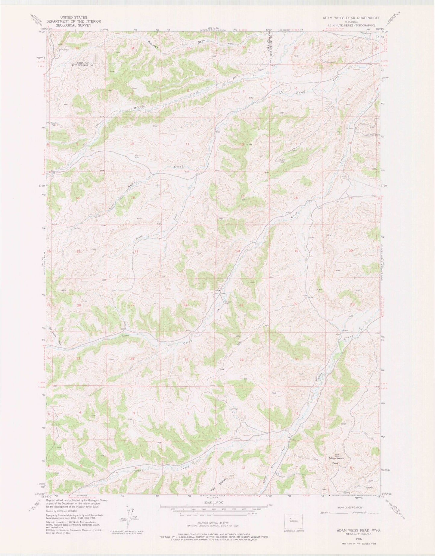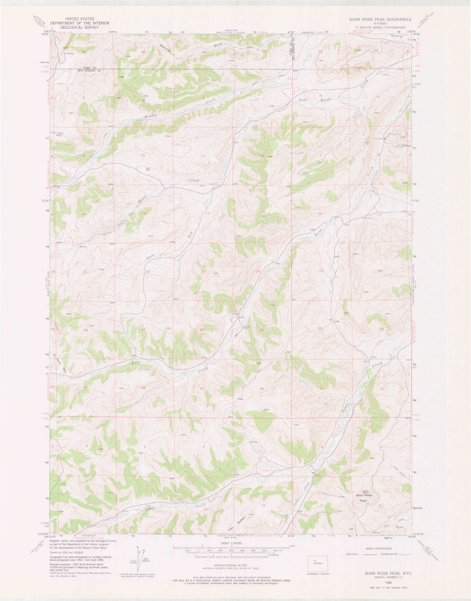
MyTopo
Classic USGS Adam Weiss Peak Wyoming 7.5'x7.5' Topo Map
Regular price
$16.95
Regular price
Sale price
$16.95
Unit price
per
Couldn't load pickup availability
Historical USGS topographic quad map of Adam Weiss Peak in the state of Wyoming. Map scale may vary for some years, but is generally around 1:24,000. Print size is approximately 24" x 27"
This quadrangle is in the following counties: Hot Springs, Park.
The map contains contour lines, roads, rivers, towns, and lakes. Printed on high-quality waterproof paper with UV fade-resistant inks, and shipped rolled.
Contains the following named places: Adam Weiss Peak, Bill Dickie Draw, Grass Creek Dam, Grass Creek Number 2 Dam, Grass Creek Number 2 Reservoir, Grass Creek Number 3 Dam, Grass Creek Number 3 Reservoir, Grass Creek Reservoir, Little Grass Creek, Renner Draw, South Fork Left Hand Creek