MyTopo
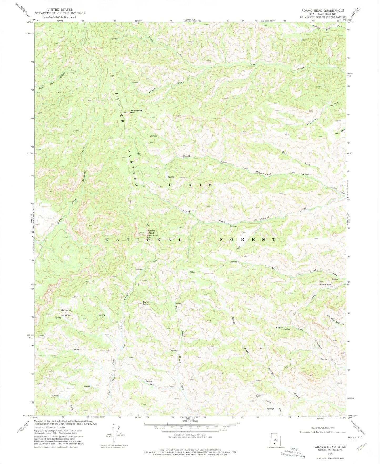
Classic USGS Adams Head Utah 7.5'x7.5' Topo Map
Regular price
$16.95
Regular price
Sale price
$16.95
Unit price
per
Couldn't load pickup availability
Historical USGS topographic quad map of Adams Head in the state of Utah. Typical map scale is 1:24,000, but may vary for certain years, if available. Print size: 24" x 27"
This quadrangle is in the following counties: Garfield.
The map contains contour lines, roads, rivers, towns, and lakes. Printed on high-quality waterproof paper with UV fade-resistant inks, and shipped rolled.
Contains the following named places: Adams Head, Cottonwood Peak, Crow Peak, Dry Fork, Marshall Meadow, North Fork Cottonwood Creek, North Fork Deer Creek, Powell Survey Cairn, South Fork Cottonwood Creek, South Fork Deer Creek, Window Rock