MyTopo
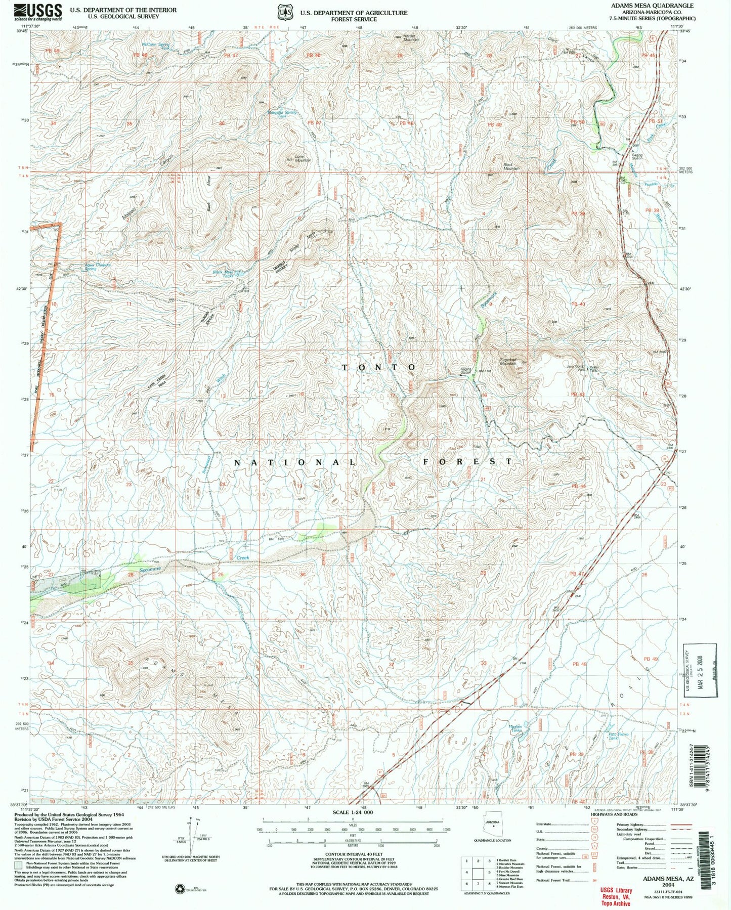
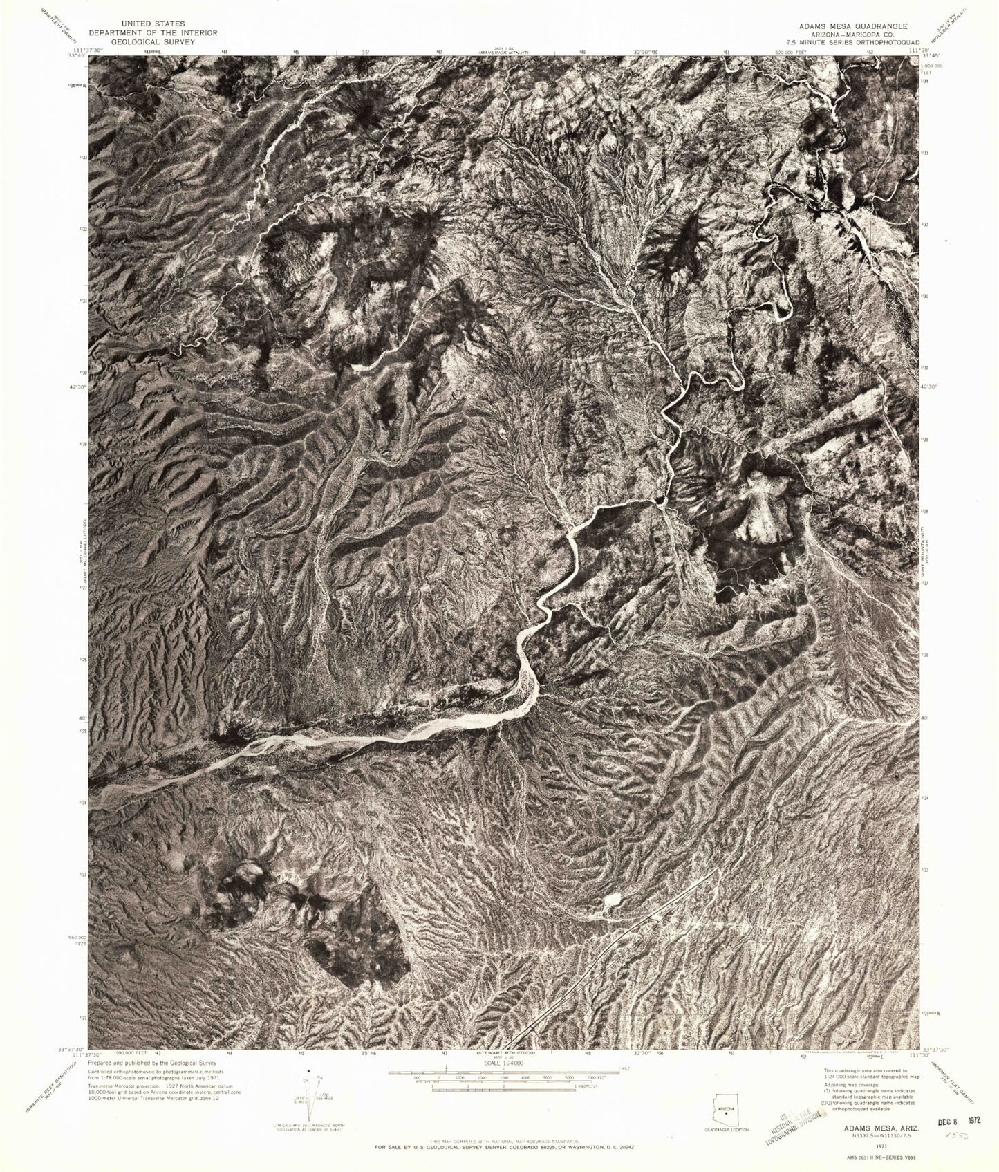
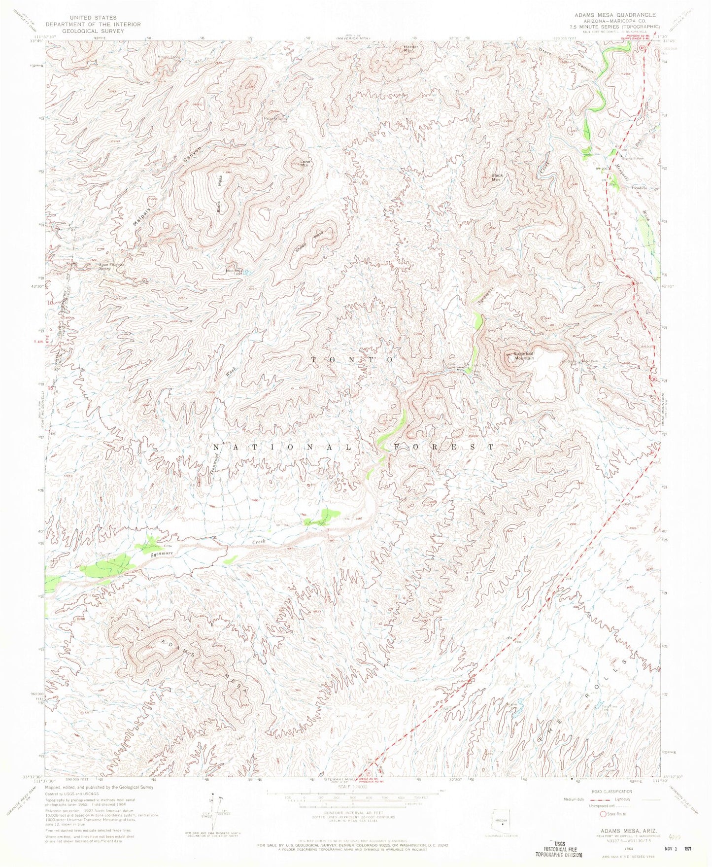
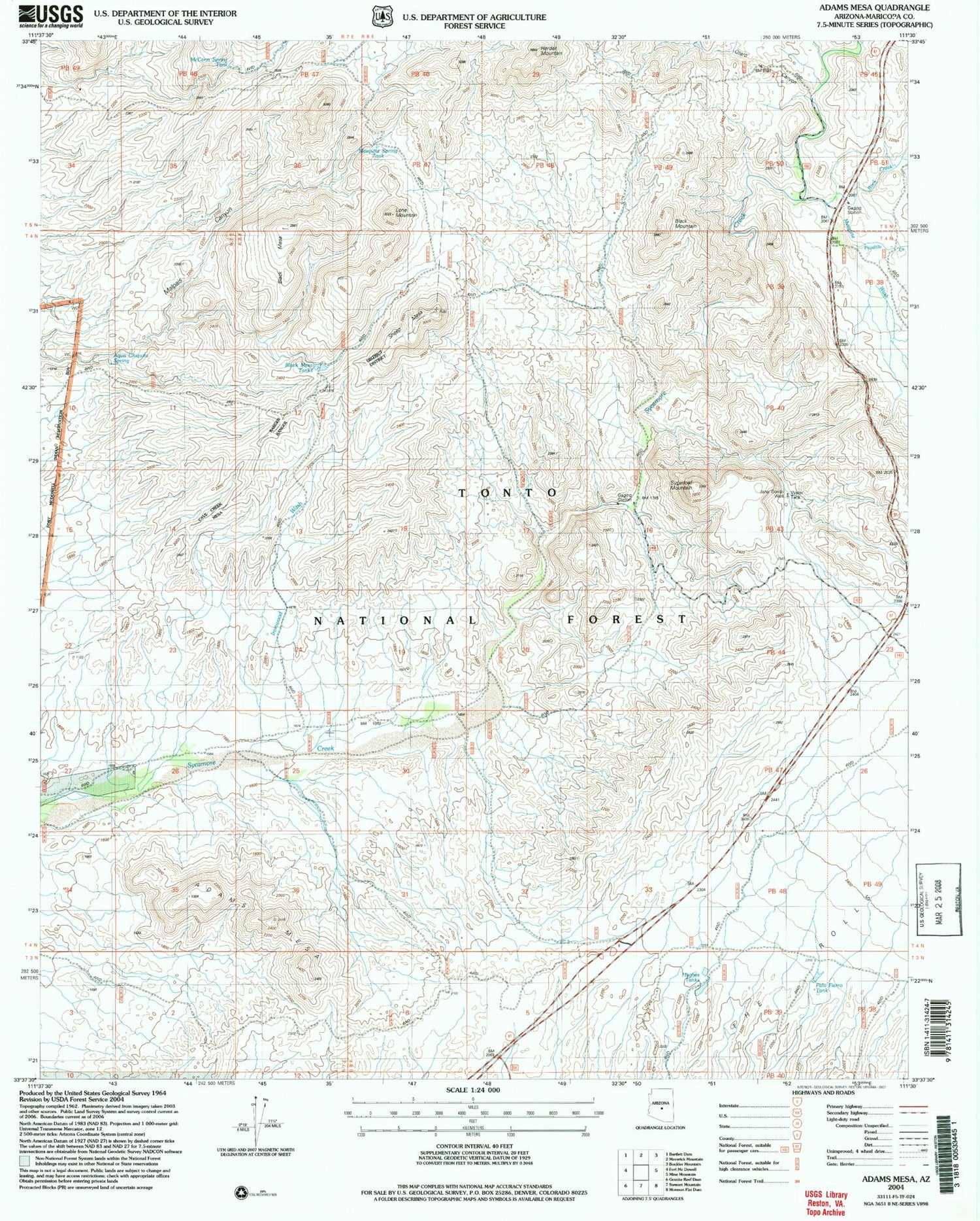
Classic USGS Adams Mesa Arizona 7.5'x7.5' Topo Map
Couldn't load pickup availability
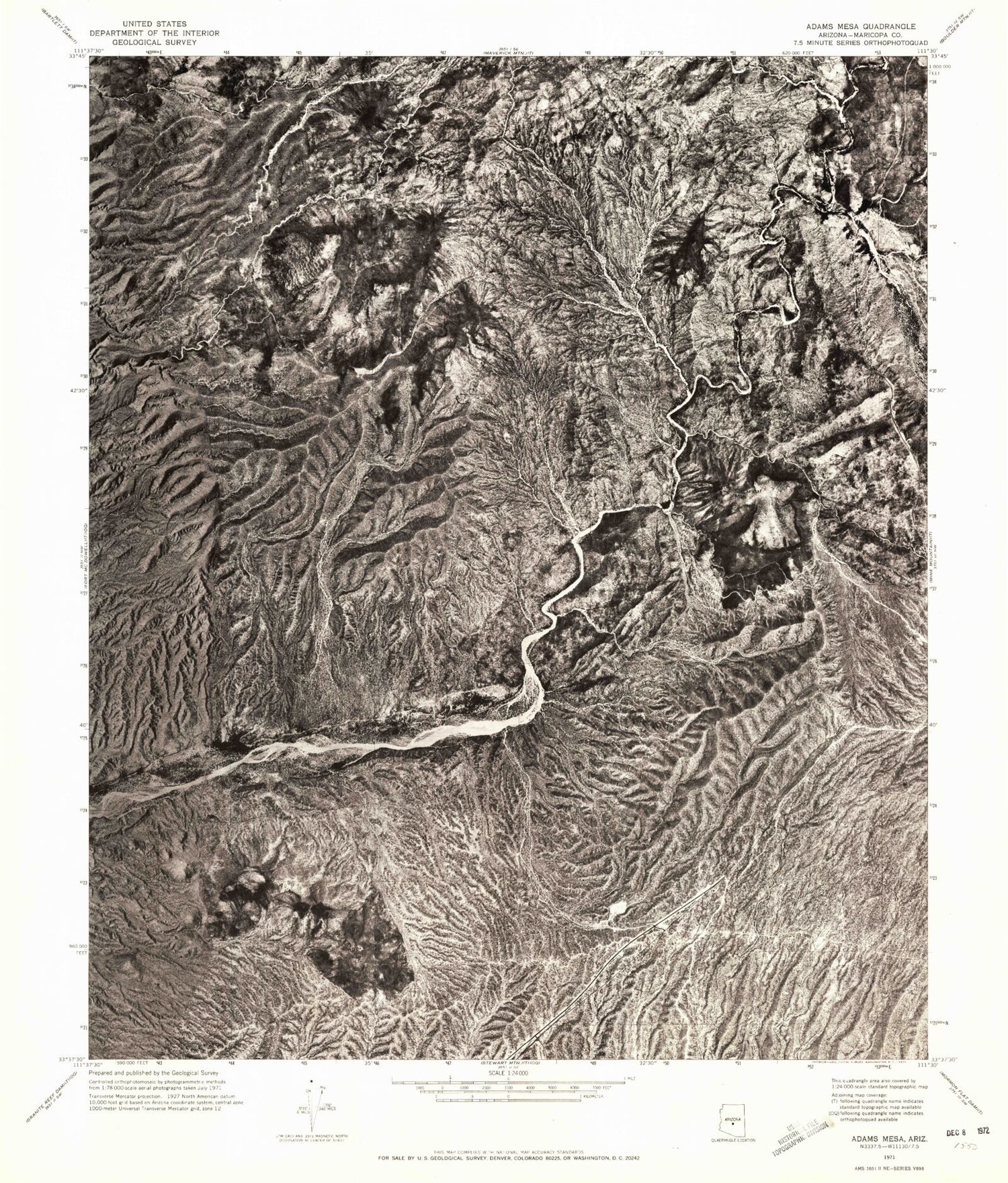
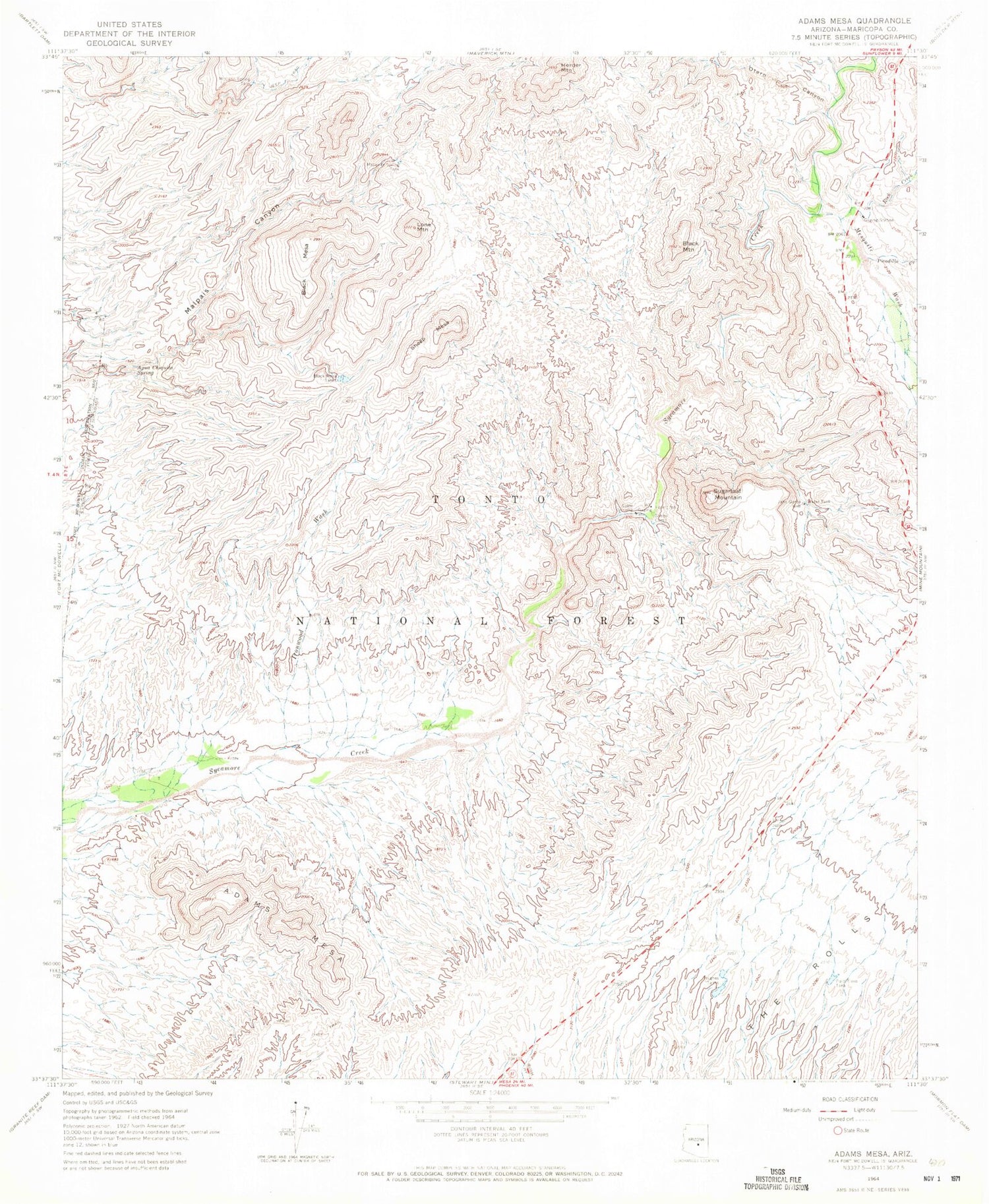
Historical USGS topographic quad map of Adams Mesa in the state of Arizona. Typical map scale is 1:24,000, but may vary for certain years, if available. Print size: 24" x 27"
This quadrangle is in the following counties: Maricopa.
The map contains contour lines, roads, rivers, towns, and lakes. Printed on high-quality waterproof paper with UV fade-resistant inks, and shipped rolled.
Contains the following named places: Mesquite Spring, Adams Mesa, Agua Chiquita Spring, Black Mesa, Black Mesa Tanks, Black Mountain, Herder Mountain, Hughes Tank, Ironwood Wash, Jana Gordo Well, Lone Mountain, McCann Spring Tank, Mesquite Spring Tank, Mesquite Wash, Otero Canyon, Palo Fiero Tank, Picadilla Creek, Rock Creek, Sheep Camp, Sheep Mesa, Sugarloaf Mountain, Rio Verde Well, Romo Well, Desert Vista Viewpoint, Sycamore Creek Airport (historical), Tonto National Forest Division, Mesquite Spring, Adams Mesa, Agua Chiquita Spring, Black Mesa, Black Mesa Tanks, Black Mountain, Herder Mountain, Hughes Tank, Ironwood Wash, Jana Gordo Well, Lone Mountain, McCann Spring Tank, Mesquite Spring Tank, Mesquite Wash, Otero Canyon, Palo Fiero Tank, Picadilla Creek, Rock Creek, Sheep Camp, Sheep Mesa, Sugarloaf Mountain, Rio Verde Well, Romo Well, Desert Vista Viewpoint, Sycamore Creek Airport (historical), Tonto National Forest Division
