MyTopo
Classic USGS Adams Tennessee 7.5'x7.5' Topo Map
Couldn't load pickup availability
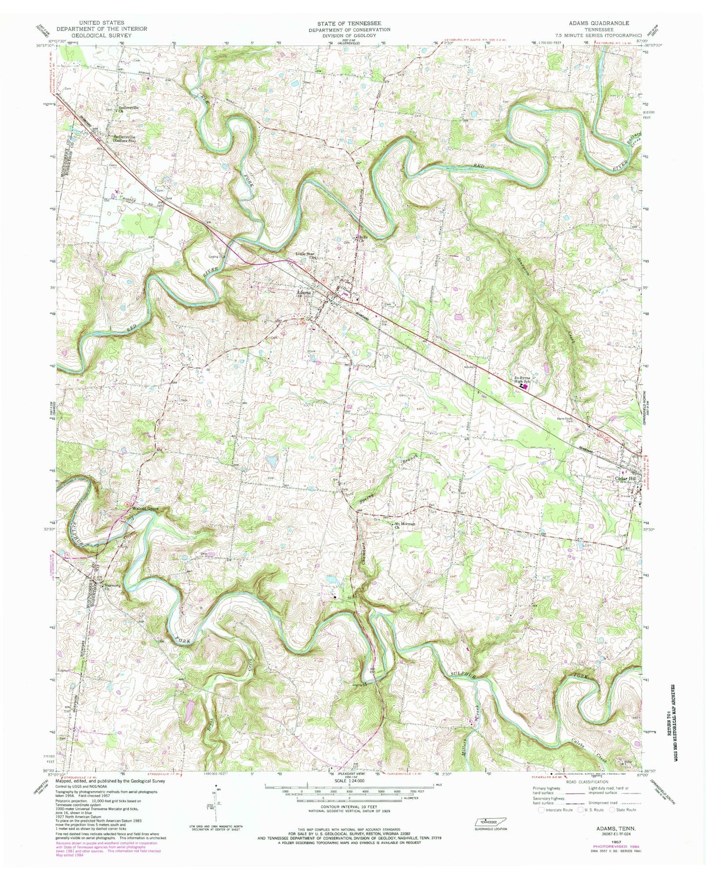
Historical USGS topographic quad map of Adams in the state of Tennessee. Map scale may vary for some years, but is generally around 1:24,000. Print size is approximately 24" x 27"
This quadrangle is in the following counties: Montgomery, Robertson.
The map contains contour lines, roads, rivers, towns, and lakes. Printed on high-quality waterproof paper with UV fade-resistant inks, and shipped rolled.
Contains the following named places: Adams, Adams Cemetery, Adams Division, Adams Post Office, Adams School, Adams Volunteer Fire Department, Barnes Cemetery, Batts Cemetery, Bell Cemetery, Bell School, Bells Church, Bellwood Cemetery, Bourne Cemetery, Brush Creek, Buzzard Creek, Calebs Creek, Carr Cemetery, Cedar Hill Baptist Church, Cedar Hill School, Chambers Spring Branch, City of Adams, City of Cedar Hill, Commissioner District 7, Connell Cemetery, Darden Cemetery, Dillard Cemetery, Dunn Cemetery, Farmer Cemetery, Fletcher Cemetery, Forest Mills, Fort - Wimberly Cemetery, Fort Cemetery, Forts, Glenraven, Gossett Cemetery, Gunn Cemetery, Harmony Church, Harper Lake, Harper Lake Dam, Heflin Cemetery, Holmansville, Horner Cemetery, Jackson Cemetery, Jacobs Cemetery, James Johnston Cemetery, Jo-Byrns High School, John Bell Cemetery, John Johnston Cemetery, Kane-David Cemetery, Little Star Church, Miles Cemetery, Millers Creek, Mount Herman Church, Newton Cemetery, Parham Cemetery, Pennington Cemetery, Polk Cemetery, Porter Cemetery, Red Corner School, Red River Baptist Church, Red River Cemetery, Rosson Cemetery, Sadler Cemetery, Sadlersville, Sadlersville Cemetery, Sadlersville Church, Shade Tree Farm and Orchard, Sherrod Cemetery, Story Cemetery, Stroud Cemetery, Sturgeon Creek, Suggs Cemetery, Walnut Grove, Warfield Cemetery, Washington Cemetery, Washington Hall, Wessyngton, Winn Cemetery, ZIP Codes: 37010, 37032


