MyTopo
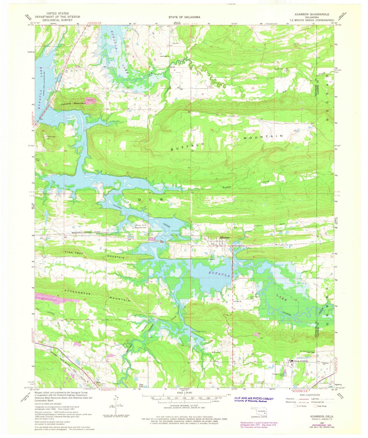
Classic USGS Adamson Oklahoma 7.5'x7.5' Topo Map
Couldn't load pickup availability
Historical USGS topographic quad map of Adamson in the state of Oklahoma. Map scale may vary for some years, but is generally around 1:24,000. Print size is approximately 24" x 27"
This quadrangle is in the following counties: Latimer, Pittsburg.
The map contains contour lines, roads, rivers, towns, and lakes. Printed on high-quality waterproof paper with UV fade-resistant inks, and shipped rolled.
Contains the following named places: Adamson, Adamson Cemetery, Adamson Census Designated Place, Ash Creek, Ash Creek Church, Brushy Creek, Buffalo Creek, Buffalo Mountain, Cambria Church, Cole Chapel Cemetery, Courts Cemetery, Cyclone Mountain, Dow, Eufala Wildlife Managment Area, Fish Trap Mountain, Gaines Creek, Hickory Point Recreation Area, Jones Academy, Jones Lake, Jones Lake Dam, Kemp Cemetery, Mount Nebo Church, Oknoname 121019 Dam, Oknoname 121019 Reservoir, Oknoname 131007 Reservoir, Pocahontas Mountain, Saint Paul Church, Union Chapel