MyTopo
Classic USGS Adaven Nevada 7.5'x7.5' Topo Map
Regular price
$16.95
Regular price
Sale price
$16.95
Unit price
per
Couldn't load pickup availability
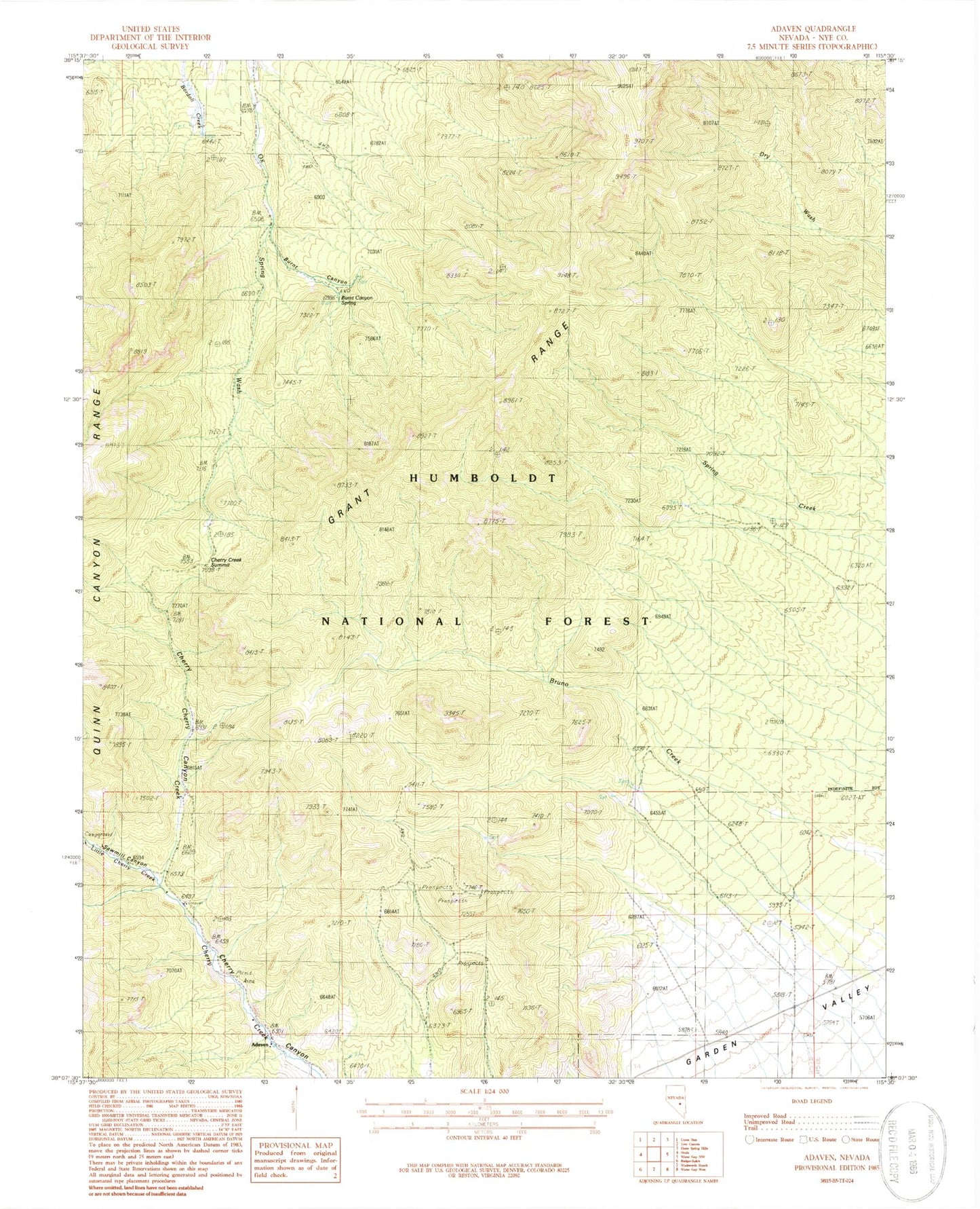
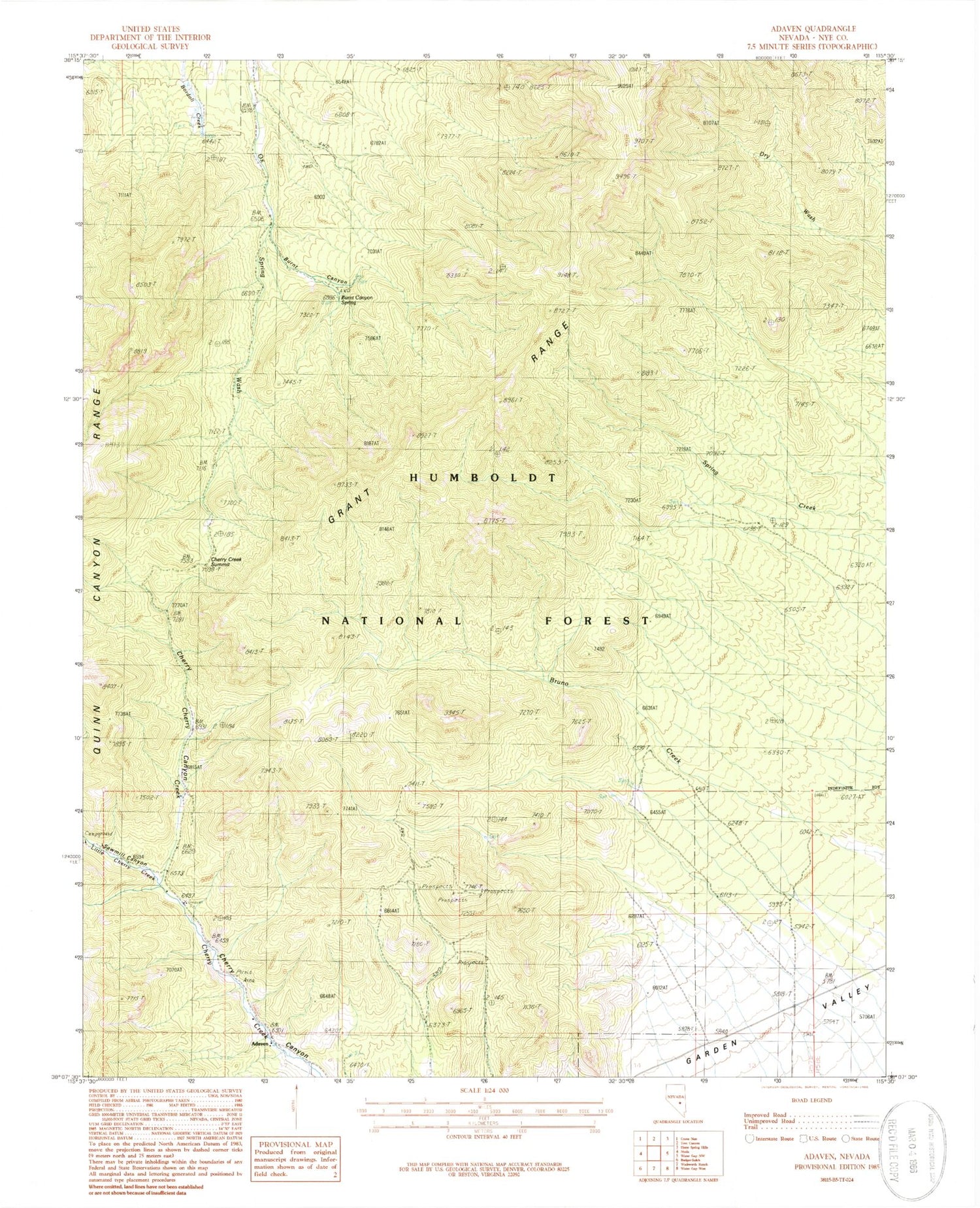
Historical USGS topographic quad map of Adaven in the state of Nevada. Map scale may vary for some years, but is generally around 1:24,000. Print size is approximately 24" x 27"
This quadrangle is in the following counties: Nye.
The map contains contour lines, roads, rivers, towns, and lakes. Printed on high-quality waterproof paper with UV fade-resistant inks, and shipped rolled.
Contains the following named places: Adaven, Adaven Post Office, Burnt Canyon, Burnt Canyon Spring, Cherry Creek Forest Service Facility, Cherry Creek Summit, Cherry Spring, Horse Spring, Little Cherry Creek, Little Cherry Spring, Sawmill Canyon, Uhalde Ranch