MyTopo
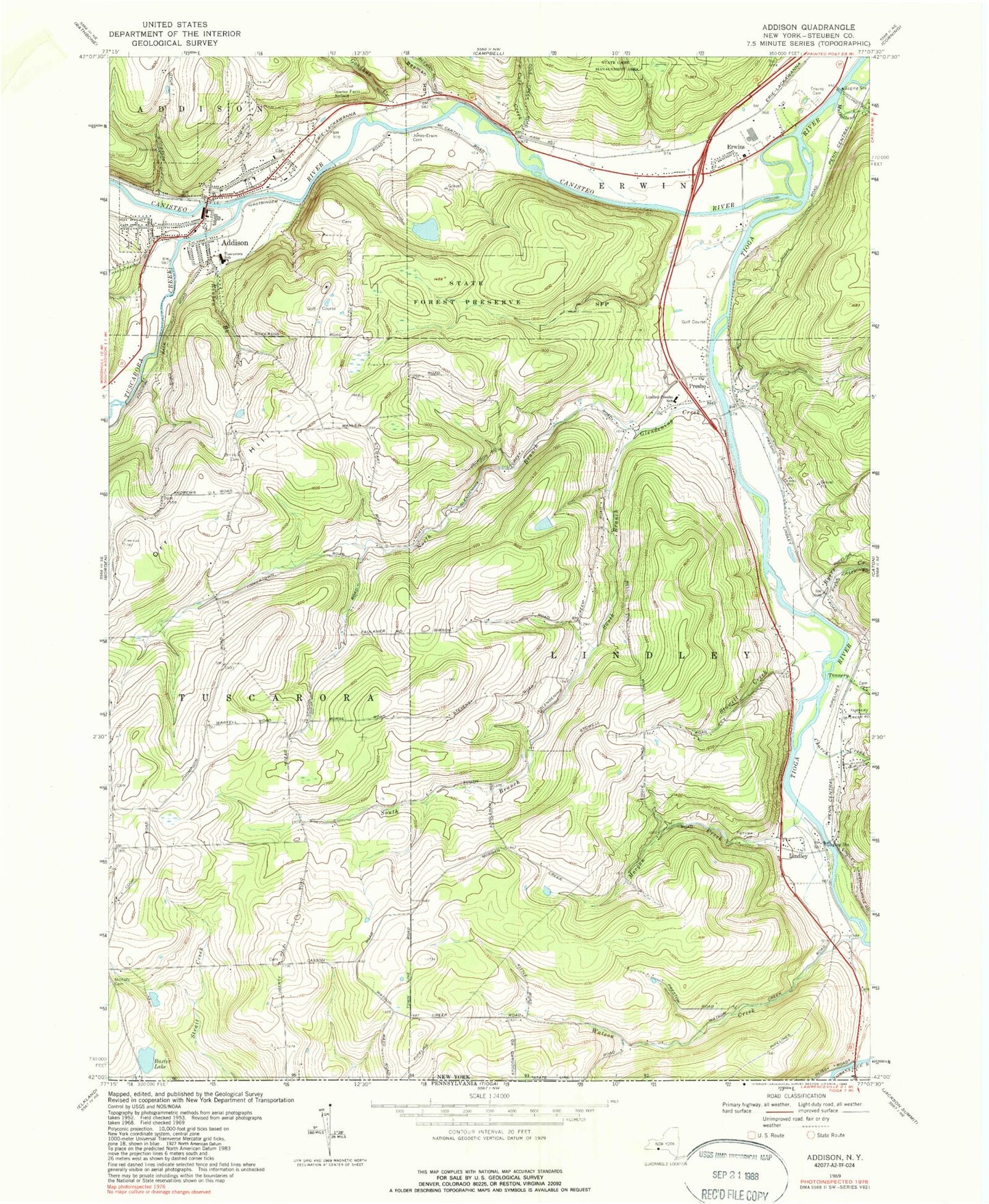
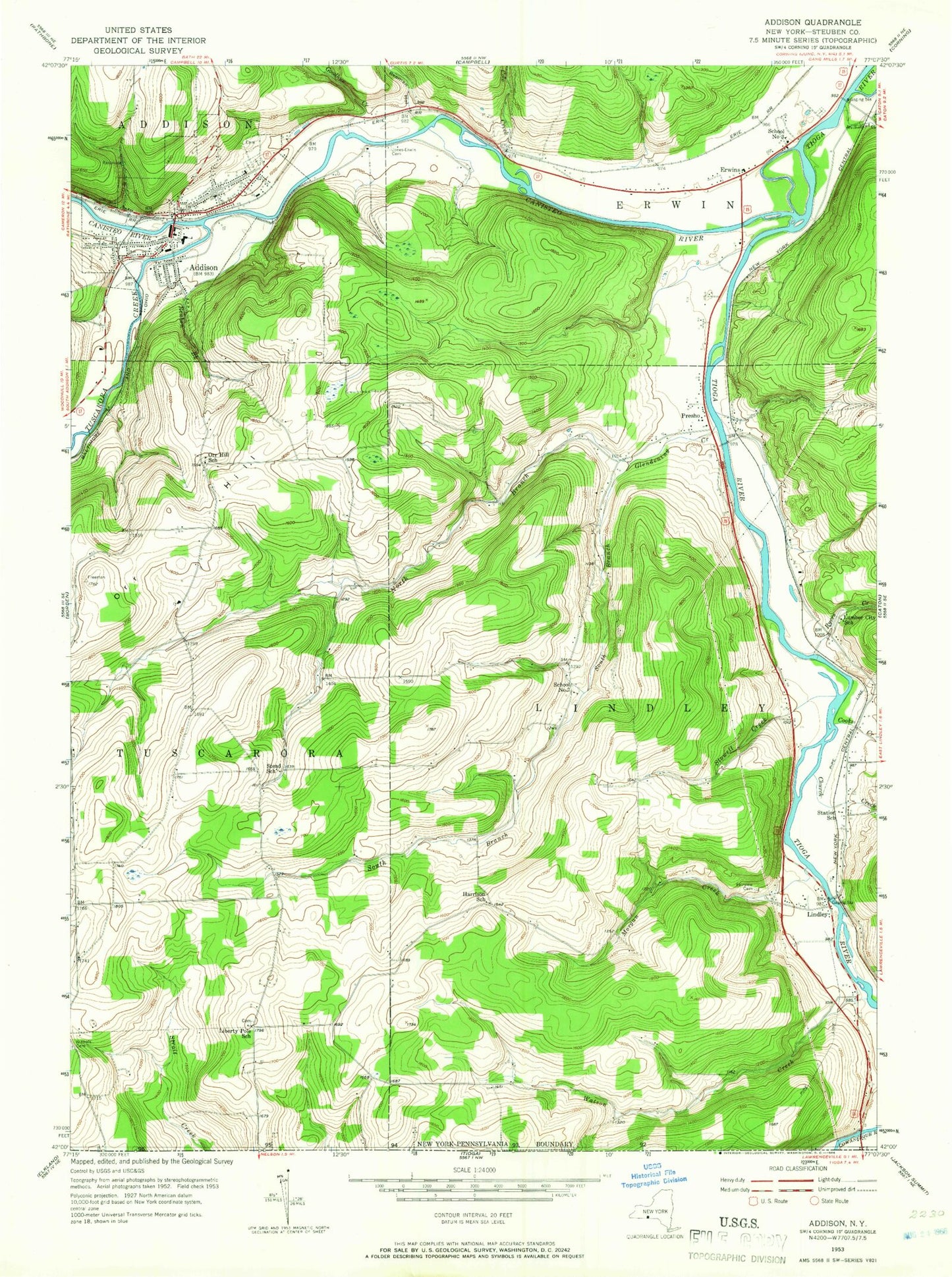
Classic USGS Addison New York 7.5'x7.5' Topo Map
Couldn't load pickup availability
Historical USGS topographic quad map of Addison in the state of New York. Typical map scale is 1:24,000, but may vary for certain years, if available. Print size: 24" x 27"
This quadrangle is in the following counties: Steuben.
The map contains contour lines, roads, rivers, towns, and lakes. Printed on high-quality waterproof paper with UV fade-resistant inks, and shipped rolled.
Contains the following named places: Addison, Baxter Lake, Beeman Hollow, Church Creek, Cole Creek, Erwins, Erwins Cemetery, Fairview Cemetery, Glendening Creek, Goodhue Creek, Jones - Erwin Cemetery, Lindley, Lindley - Presho Elementary School, Morgan Creek, Mulholland Creek, Nichols Cemetery, North Branch Glendening Creek, Orr Hill, Presho, Reuben Brook, Ryers Creek, South Branch Glendening Creek, Stowell Creek, Tannery Creek, Tuscarora Creek, Tuscarora Elementary School, Watson Creek, Canisteo River, Towner Farm Airport, Town of Lindley, Curtis Square, Addison High School, Addison Town Hall, Addison Volunteer Fire Department, Eagle House, Wombaugh Square, First Presbyterian Church, Church of the Redeemer, First Methodist Church, Saint Catherine's Roman Catholic Church, Addison Fire Station Number 2, Harrison School (historical), Liberty Pole School (historical), Lumber City School (historical), Orr Hill School (historical), Stead School (historical), Stowell School (historical), Village of Addison, Freeman Cemetery, Liberty Pole Cemetery, Addison Village Wastewater Treatment Plant, Jesus Church Mennonite Fellowship, Lindley Community Church, Presho United Methodist Church, Sovereign Grace Baptist Church, Tuscarora Baptist Church, First Baptist Church, Addison Post Office, Lindley Post Office, Sunflower Acres Mobile Home Park, Canisteo River Bridge, Cowanesque River Bridge, Tioga River Bridge, Pinnacle State Park Golf Course, Addison Public Library, Scudder Pit, Addison Volunteer Ambulance Corps, Lindley Presho Volunteer Fire Department, Beeman Creek


