MyTopo
Classic USGS Adel Oklahoma 7.5'x7.5' Topo Map
Regular price
$16.95
Regular price
Sale price
$16.95
Unit price
per
Couldn't load pickup availability
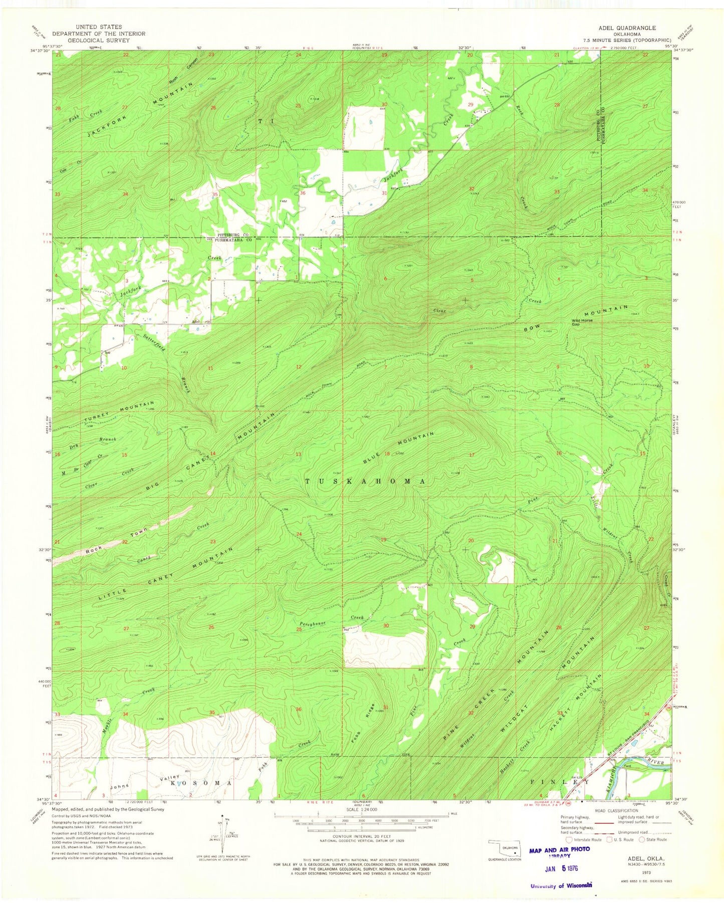
Historical USGS topographic quad map of Adel in the state of Oklahoma. Map scale may vary for some years, but is generally around 1:24,000. Print size is approximately 24" x 27"
This quadrangle is in the following counties: Pittsburg, Pushmataha.
The map contains contour lines, roads, rivers, towns, and lakes. Printed on high-quality waterproof paper with UV fade-resistant inks, and shipped rolled.
Contains the following named places: Adel, Big Caney Mountain, Blue Mountain, Bow Mountain, Clear Creek, Fobb Ridge, Hackett Mountain, Little Caney Mountain, Peveyhouse Creek, Pine Creek Mountain, Rock Creek, Rock Town, Satterfield Branch, Turkey Mountain, Wild Horse Gap, Wildcat Creek, Wildcat Mountain