MyTopo
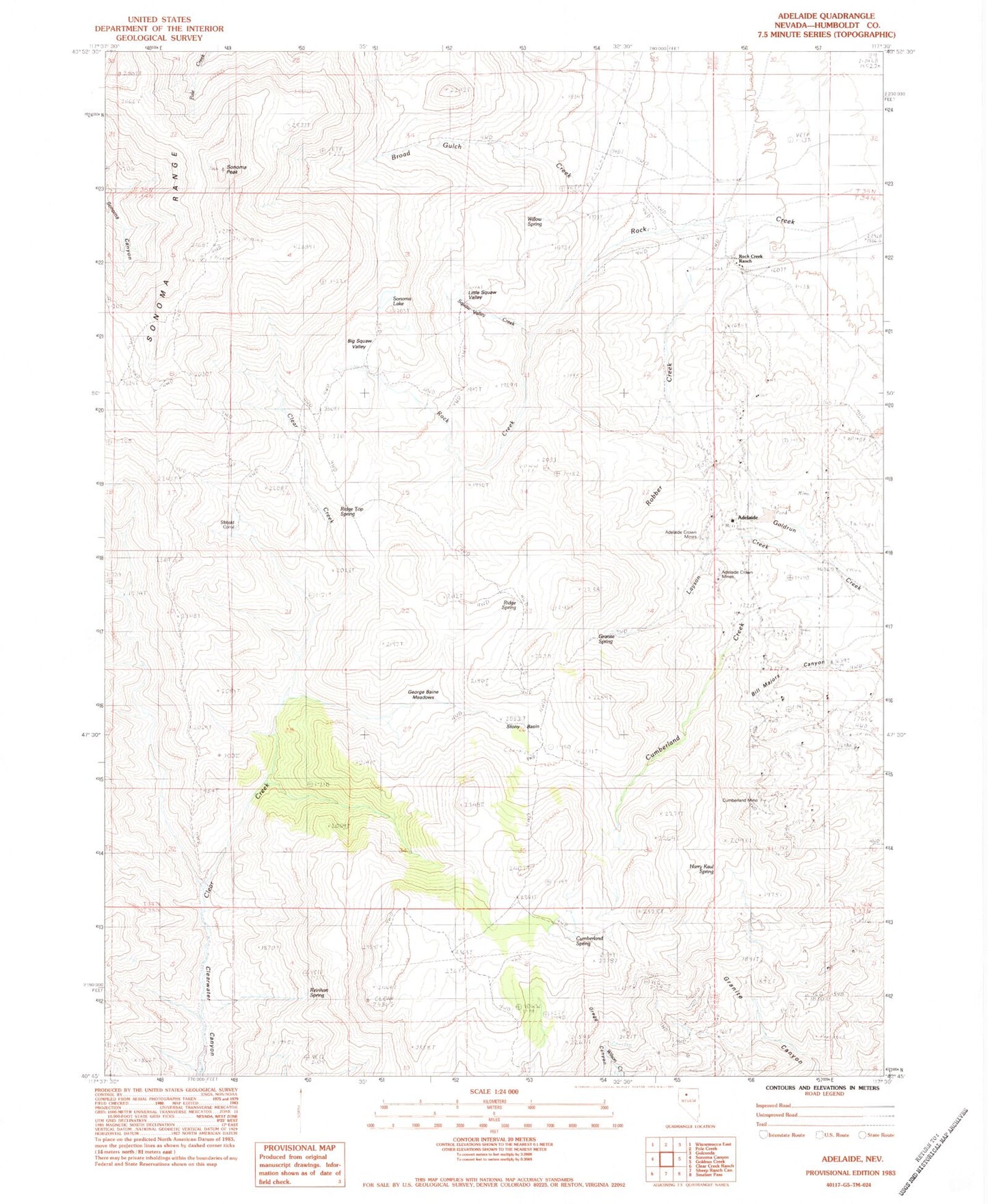
Classic USGS Adelaide Nevada 7.5'x7.5' Topo Map
Couldn't load pickup availability
Historical USGS topographic quad map of Adelaide in the state of Nevada. Typical map scale is 1:24,000, but may vary for certain years, if available. Print size: 24" x 27"
This quadrangle is in the following counties: Humboldt.
The map contains contour lines, roads, rivers, towns, and lakes. Printed on high-quality waterproof paper with UV fade-resistant inks, and shipped rolled.
Contains the following named places: Cumberland Mine, Little Squaw Valley, Rock Creek Ranch, Sonoma Lake, Sonoma Peak, Stony Basin, Adelaide (historical), Broad Gulch Creek, Willow Spring, Squaw Valley Creek, Big Squaw Valley, Sibbald Corral, Ridge Top Spring, Ridge Spring, Layson Creek, Granite Spring, George Baine Meadows, Harry Kaul Spring, Cumberland Spring, Reinhart Spring, Cumberland (historical), Gold Run Mining District, Adelaide Crown Mines, Gold Run (historical)