MyTopo
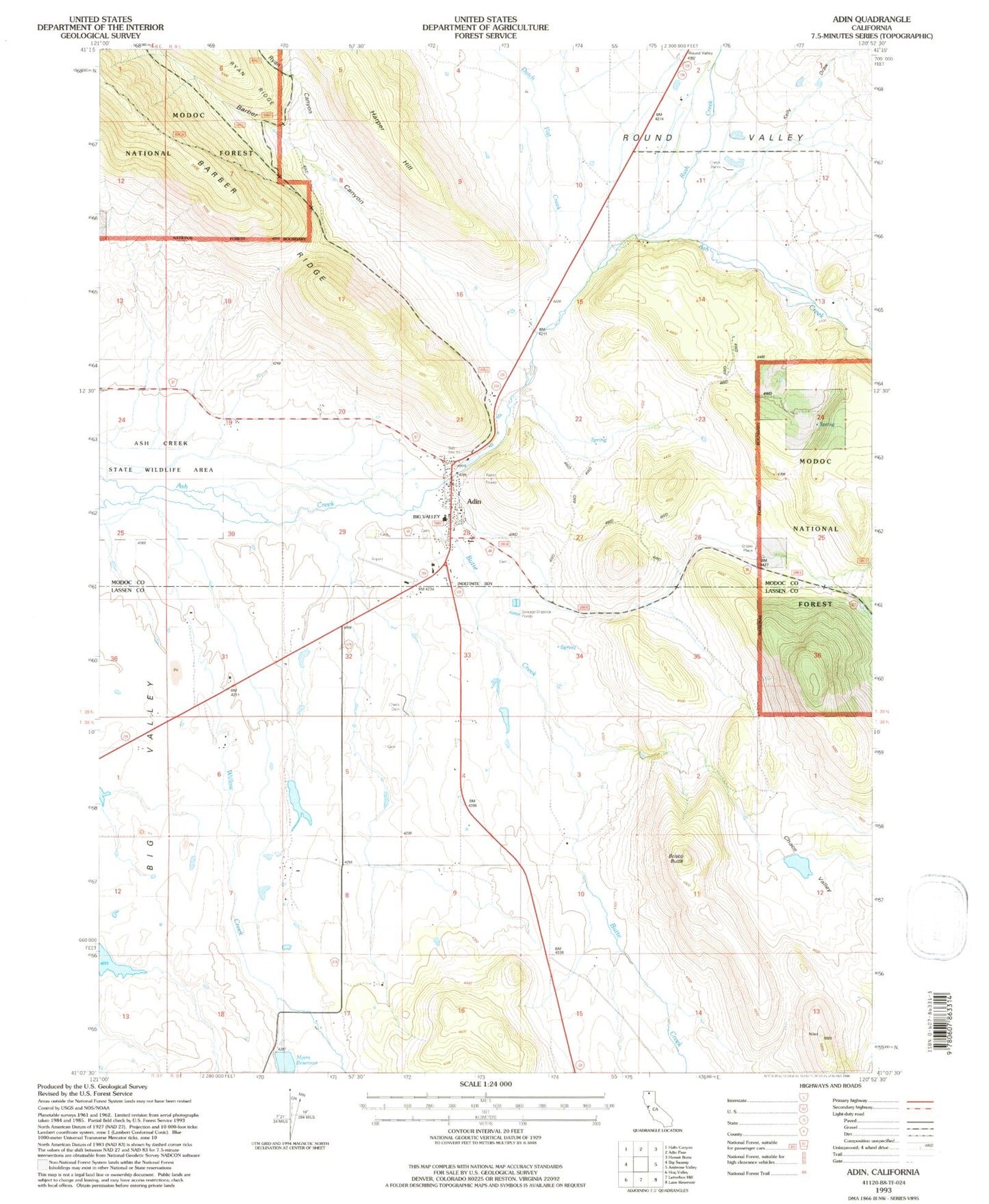
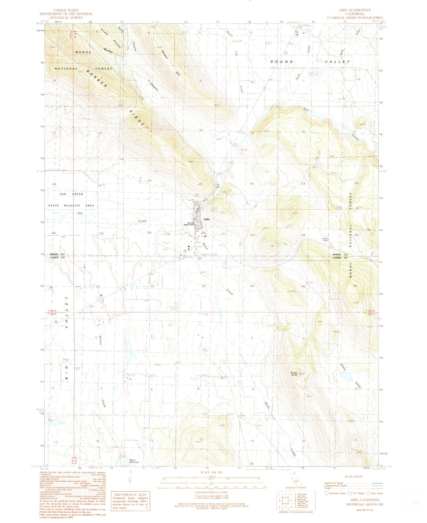
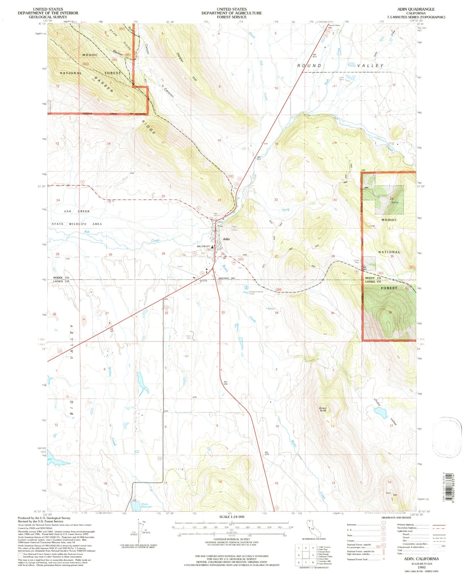
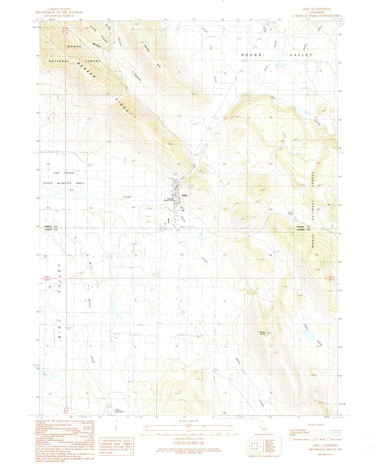
Classic USGS Adin California 7.5'x7.5' Topo Map
Couldn't load pickup availability
Historical USGS topographic quad map of Adin in the state of California. Map scale may vary for some years, but is generally around 1:24,000. Print size is approximately 24" x 27"
This quadrangle is in the following counties: Lassen, Modoc.
The map contains contour lines, roads, rivers, towns, and lakes. Printed on high-quality waterproof paper with UV fade-resistant inks, and shipped rolled.
Contains the following named places: Adin, Adin Airport, Adin Cemetery, Adin Census Designated Place, Adin Fire Protection District, Adin Pioneer Cemetery, Adin Post Office, Adin station, Albaugh Number 2 1242-2 Dam, Barber Canyon, Big Valley Primary School, Big Valley Ranger Station, Brisco Butte, Butte Creek, Chace Valley, Chace Valley 1243 Dam, Dibble Place, Dutch Flat Creek, Harper, Harper Hill, Kelly Draw, Myers 1247 Dam, Myers Reservoir, Rush Creek, Ryan Canyon, Willow Creek