MyTopo
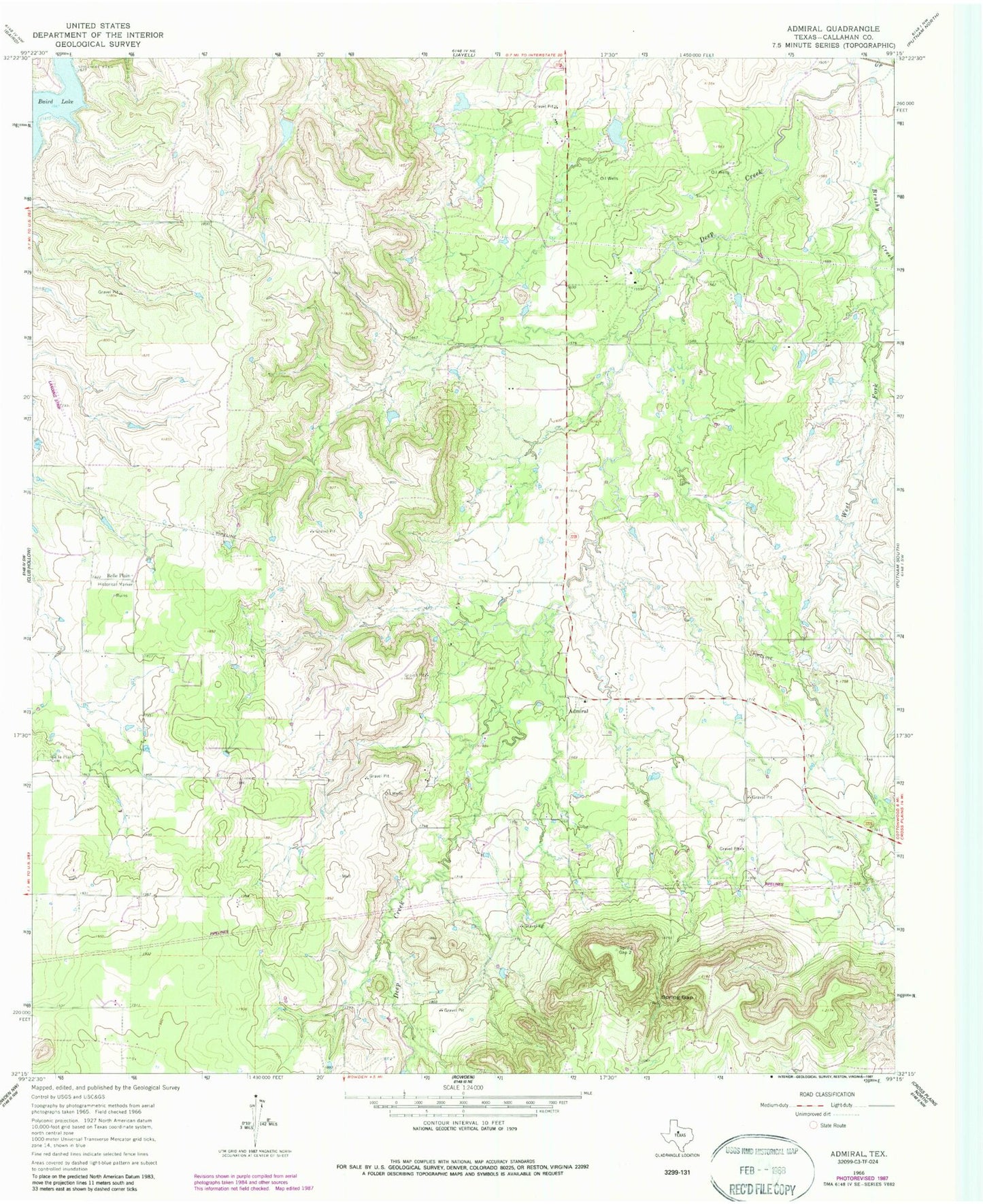
Classic USGS Admiral Texas 7.5'x7.5' Topo Map
Regular price
$16.95
Regular price
Sale price
$16.95
Unit price
per
Couldn't load pickup availability
Historical USGS topographic quad map of Admiral in the state of Texas. Map scale may vary for some years, but is generally around 1:24,000. Print size is approximately 24" x 27"
This quadrangle is in the following counties: Callahan.
The map contains contour lines, roads, rivers, towns, and lakes. Printed on high-quality waterproof paper with UV fade-resistant inks, and shipped rolled.
Contains the following named places: Admiral, Admiral Cemetery, Baird Lake, Belle Plain, Belle Plain Cemetery, Callahan City Cemetery, Callahan County, Hatchett Lake, Hatchett Lake Dam, Spring Gap, West Fork Brushy Creek, Windham Lake, Windham Lake Dam, ZIP Code: 79504