MyTopo
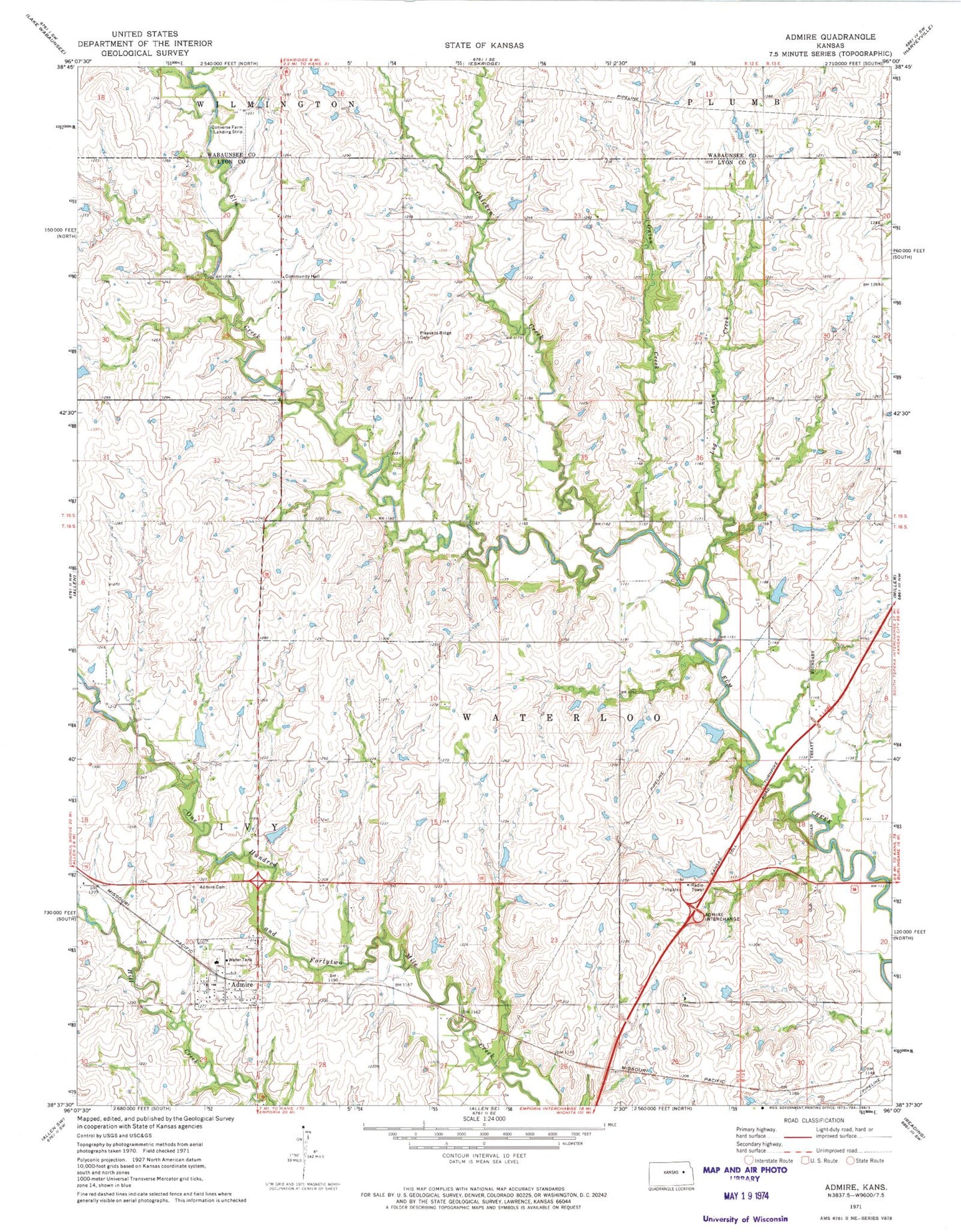
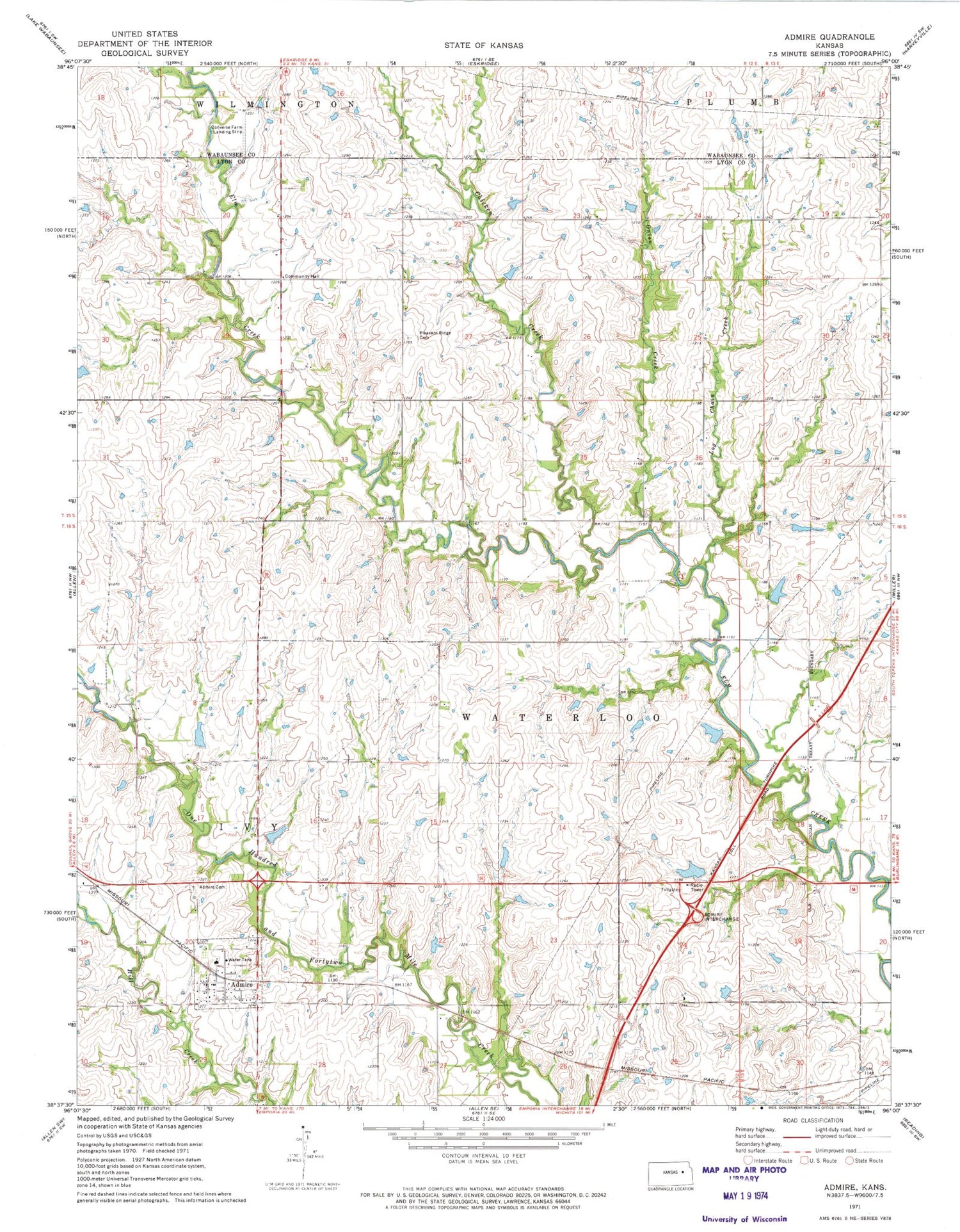
Classic USGS Admire Kansas 7.5'x7.5' Topo Map
Couldn't load pickup availability
Historical USGS topographic quad map of Admire in the state of Kansas. Map scale may vary for some years, but is generally around 1:24,000. Print size is approximately 24" x 27"
This quadrangle is in the following counties: Lyon, Wabaunsee.
The map contains contour lines, roads, rivers, towns, and lakes. Printed on high-quality waterproof paper with UV fade-resistant inks, and shipped rolled.
Contains the following named places: Admire, Admire Cemetery, Admire Elementary School, Admire Post Office, Admire United Methodist Church, Admire Wastewater Plant, Air, Chicken Creek, City of Admire, Converse Farm Landing Strip, Ivy, Log Chain Creek, Lyon County Fire District 2 Station 1, Onion Creek, Pleasant Ridge Cemetery, Prairie View Farm, Township of Ivy, Township of Waterloo, Waushara