
MyTopo
Classic USGS Adobe Downs Ranch New Mexico 7.5'x7.5' Topo Map
Couldn't load pickup availability
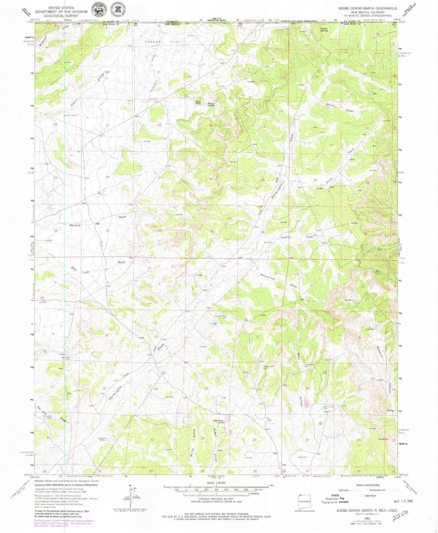
Historical USGS topographic quad map of Adobe Downs Ranch in the state of New Mexico. Map scale may vary for some years, but is generally around 1:24,000. Print size is approximately 24" x 27"
This quadrangle is in the following counties: La Plata, San Juan.
The map contains contour lines, roads, rivers, towns, and lakes. Printed on high-quality waterproof paper with UV fade-resistant inks, and shipped rolled.
Contains the following named places: Adobe Downs Ranch, Black Glade, Camel Hump Dam, Coyote Spring, Drip Pee Wee Dam, Dusenberry Glade, Hedges North Dam, Jaquez Flat, Knob Rock Dam, Lawson Glade, Martin Glade, McDermott Ditch, Mosley Spring, New Mexico Mine, Oliver Dike, Painted Hills Dam, Pee Wee Dam, Vee Dam, White Hill Dam, Wilson Ranch, Zebra Hills Dam


