MyTopo
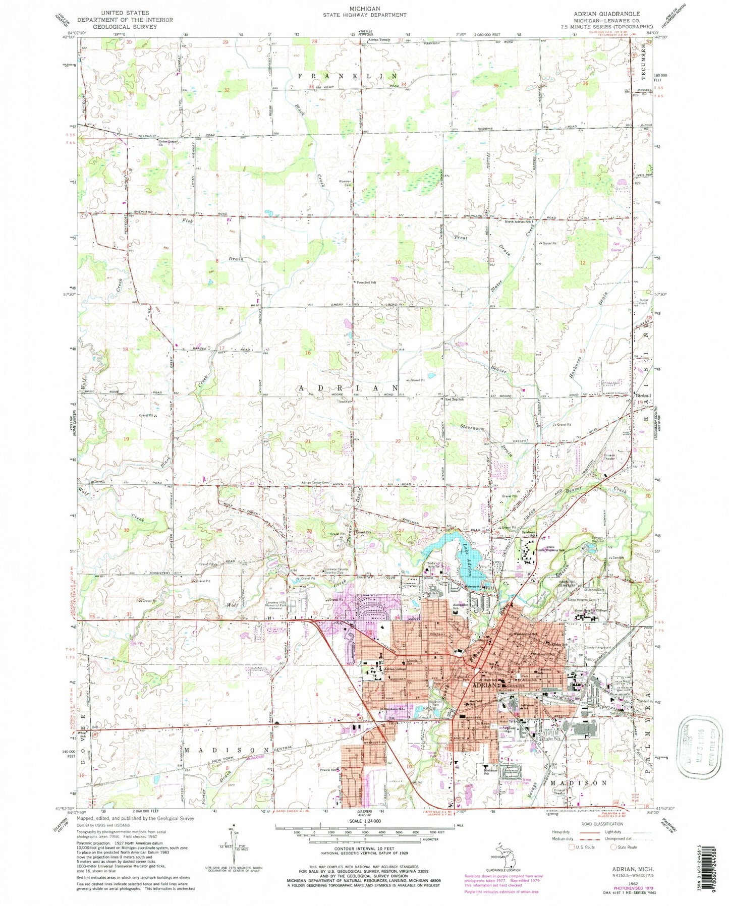
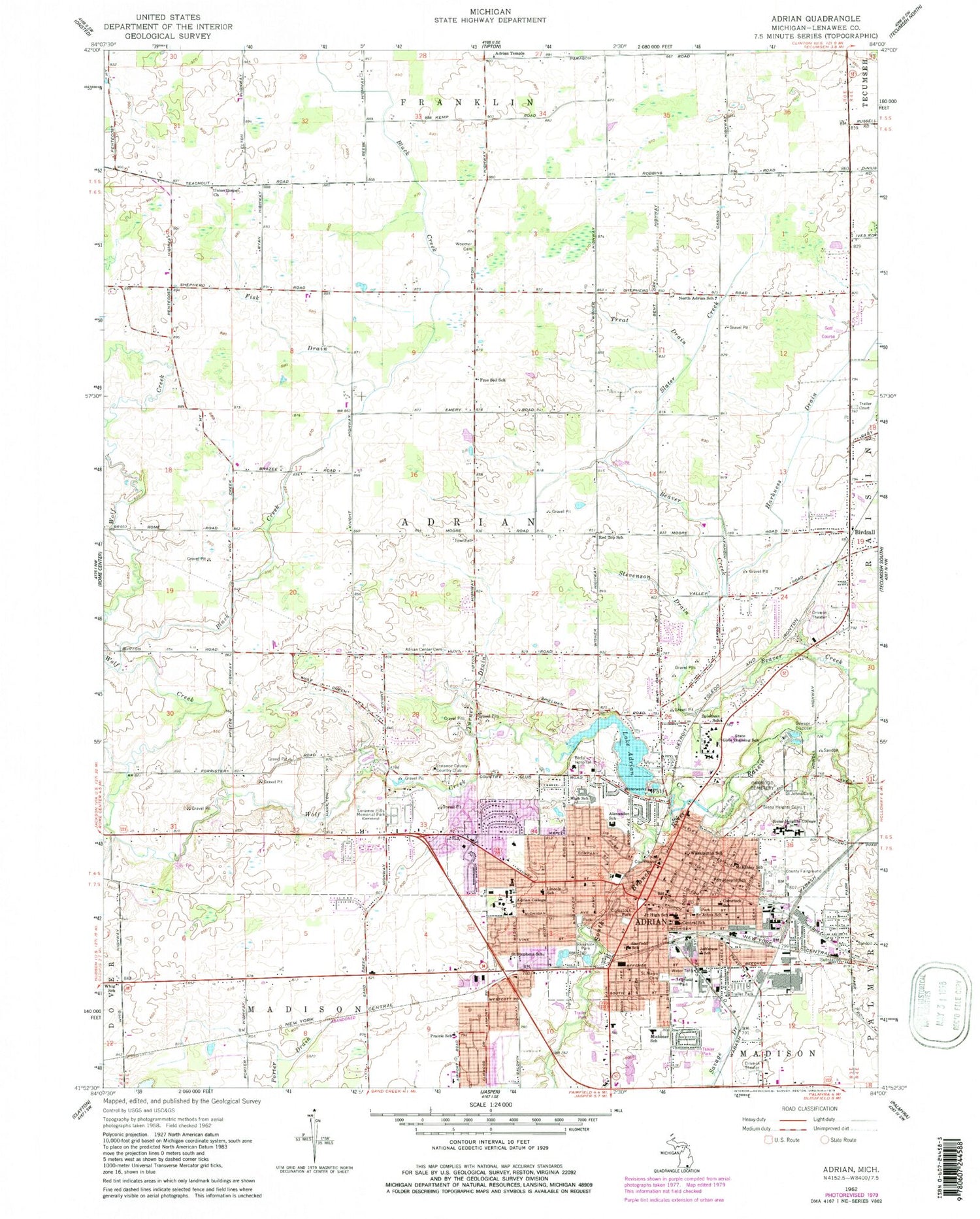
Classic USGS Adrian Michigan 7.5'x7.5' Topo Map
Couldn't load pickup availability
Historical USGS topographic quad map of Adrian in the state of Michigan. Map scale may vary for some years, but is generally around 1:24,000. Print size is approximately 24" x 27"
This quadrangle is in the following counties: Lenawee.
The map contains contour lines, roads, rivers, towns, and lakes. Printed on high-quality waterproof paper with UV fade-resistant inks, and shipped rolled.
Contains the following named places: Administration Building, Adrian, Adrian Center Cemetery, Adrian Church of God, Adrian City Hall, Adrian College, Adrian College Historical Marker, Adrian Dominican Motherhouse, Adrian Fire Department, Adrian Health Care Center, Adrian High School, Adrian Mall, Adrian Middle School 5-6, Adrian Middle School 7-8, Adrian Monthly Meetinghouse, Adrian Monthly Meetinghouse Historical Marker, Adrian Police Department, Adrian Post Office, Adrian Public Library, Adrian Station, Adrian Temple, Adrian Township Fire Department, Adrian Township Hall, Adrian Township Police Department, Adrian Union Hall Historical Marker, Alexander School, Archangelus Hall, Baur Cemetery, Beaver Creek, Benincasa Dining Hall, Berean Baptist Academy, Berean Baptist Church, Bethany Assembly of God Church, Bethel African Methodist Church, Bethel Baptist Church, Bible Missionary Church, Birdsall, Birdsall Post Office, Birdsall Station, Bixby Hospital Heliport, Black Creek, Burr Park, Caine Student Center, Camp Williams Historical Marker, Cargo Hall, Centerview Golf Course, Central School, Christ Episcopal Church, Christ the Redeemer Lutheran Church, Christensen Softball Field, Church of Christ, Church of Jesus Christ of Latter-Day Saints, Church of Our Lord Jesus Christ, Church of the Brethren, Church of the Good Shepherd, Cider Mill Park, City of Adrian, Comstock Park, Comstock Park Cemetery, Comstock School, Cornelius House, County Poor House Cemetery, Crossroads Community Church, Davis Hall, Dawson Auditorium, Deans Hall, Deerfield Park, Dominican Hall, Downs Hall, Dunlap Park, Erie Street Park, Estes Hall, Faith Baptist Church, Fee Park, Fellowship Bible Church, First Baptist Church, First Christian Church, First Church of the Nazarene, First Presbyterian Church, First United Methodist Church, Fisk Drain, Fourth Michigan Volunteer Infantry Historical Museum, Free Soil School, Freedom Christian Fellowship, Freeman Hall, Friendly Village of Adrian, Garfield School, Goldsmith Health Center, Grace Covenant Church, Grace Point Evangelical Free Church, Gus Harrison Correctional Facility, Harkness Drain, Heritage Park, Herrick Hall, Herrick Tower, Hicksite Friends Cemetery, Hidden River Mobile Home Park, Hood Drain, Island Park, Jackson Community College, Jarvis Hall, Jefferson School, Jones Hall, Kings Court Mobile Park, Lake Adrian, Ledwidge Hall, Lenawee Christian Elementary School, Lenawee Community Ambulance, Lenawee County, Lenawee County Country Club, Lenawee County Courthouse, Lenawee County Courthouse Historical Marker, Lenawee County Fair and Event Grounds, Lenawee County Fairgrounds Historical Marker, Lenawee County Historical Museum, Lenawee County Sheriff, Lenawee Hills Memorial Park, Lenawee Medical Care Facility, Lenawee Surgical Associates, Lenawee Vocational-Technical Center, Lincoln School, Lowry Hall, Lumen Chapel, Lynwood Manor, Mahan Hall, Maple Avenue Bible Church, McKinley School, Merillat Sport and Fitness Center, Michener School, Monument Park, New Hope Tabernacle Church, North Adrian Cemetery, North Adrian School, North Hall, Oakwood Cemetery, Oakwood Cemetery Historical Marker, Peelle Hall, Pellowe Hall, Plant Services Building, Powell Hall, Prairie School, Promedica Bixby Hospital, Provinical House, Raisin Valley Friend Church, Raisin Valley Friends Cemetery, Raisin Valley Friends Church Historical Marker, Red Top School, Reformed Baptist Church, Ritchie Dining Hall, Riverside Park, Robin Hood Mobile Court, Rush Hall, Ryan Creek, Sacred Heart Hall, Sacred Heart Hall Historical Marker, Sage Union, Saint Johns Lutheran Cemetery, Saint John's Lutheran Church, Saint John's Lutheran Church Historical Marker, Saint Johns School, Saint Joseph Academy Middle School, Saint Joseph Hospital and Home for the Aged Historical Marker, Saint Joseph Rectory Historical Marker, Saint Joseph School Historical Marker, Saint Joseph's Catholic Cemetery, Saint Joseph's Catholic Church, Saint Joseph's Catholic Church Historical Marker, Saint Josephs School, Saint Mary's Catholic Church, Saint Marys Cemetery, Saint Matthews Lutheran Church, Saint Stephen's Evangelical Lutheran Church, Saint Stephens School, Science Building, Second Baptist Church, Second Baptist Church Historical Marker, Seventh-Day Adventist Church, Shipman Library, Siena Heights Bible Church, Siena Heights Cemetery, Siena Heights Library, Siena Heights University, Slater Creek, Spencer Music Hall, Spielman School, Sterling Estates Mobile Home Park, Stevens Hall, Stevenson Drain, Studio Alternative, Thomas A Emmet Senior Tennis Courts, Torry Drain, Township of Adrian, Treat Drain, Trenton Hills United Brethren Church, Trestle Park, Turner Drain, Union Gospel Church, Verheyden Performing Arts Center, WABJ-AM (Adrian), Waid Park, Washington School, Weaver Graves, Webster Farm Cemetery, West Adrian Cemetery, West Adrian School, West Adrian United Church, West Park, Whig School, Woerner Cemetery, Wolf Creek, Wolf Creek Golf Club, WVAC-FM (Adrian), Zollar Soccer Field, ZIP Code: 49221


