
MyTopo
Classic USGS Aeneas Lake Washington 7.5'x7.5' Topo Map
Regular price
$16.95
Regular price
Sale price
$16.95
Unit price
per
Couldn't load pickup availability
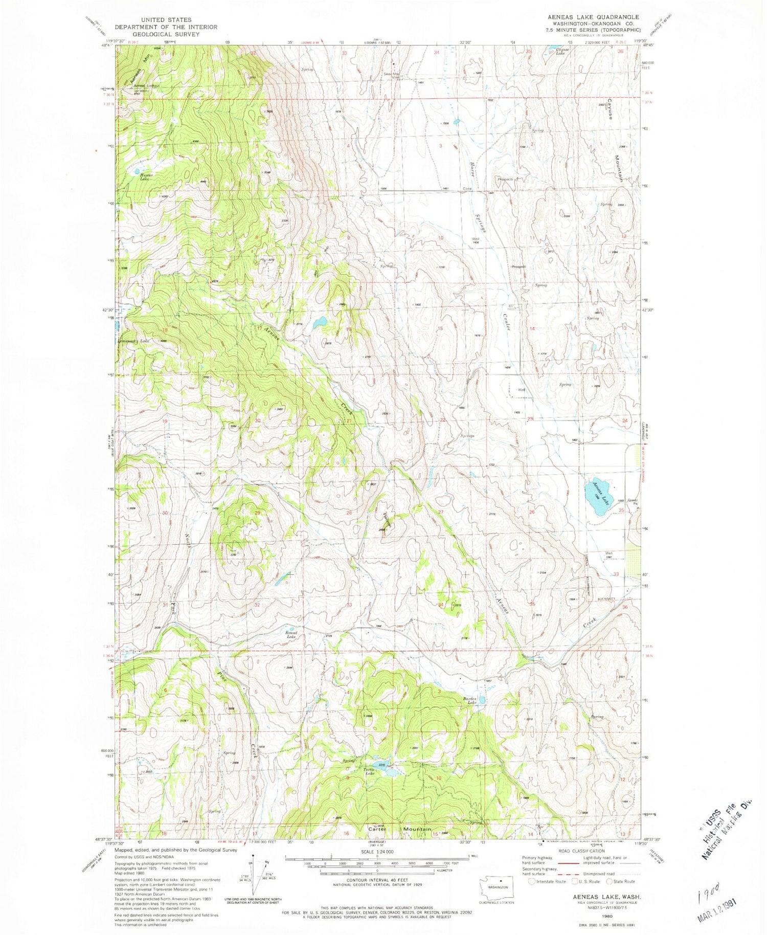
Historical USGS topographic quad map of Aeneas Lake in the state of Washington. Map scale may vary for some years, but is generally around 1:24,000. Print size is approximately 24" x 27"
This quadrangle is in the following counties: Okanogan.
The map contains contour lines, roads, rivers, towns, and lakes. Printed on high-quality waterproof paper with UV fade-resistant inks, and shipped rolled.
Contains the following named places: Aeneas Lake, Aeneas Lookout, Aeneas Mountain, Burden Lake, Carter Mountain, Cayuse Lake, Flatiron, Horse Springs Coulee, Hunter Lake, Lemanasky Mountain, Round Lake, Silver Mountain Mine, Tonasket Division, Turtle Lake


