MyTopo
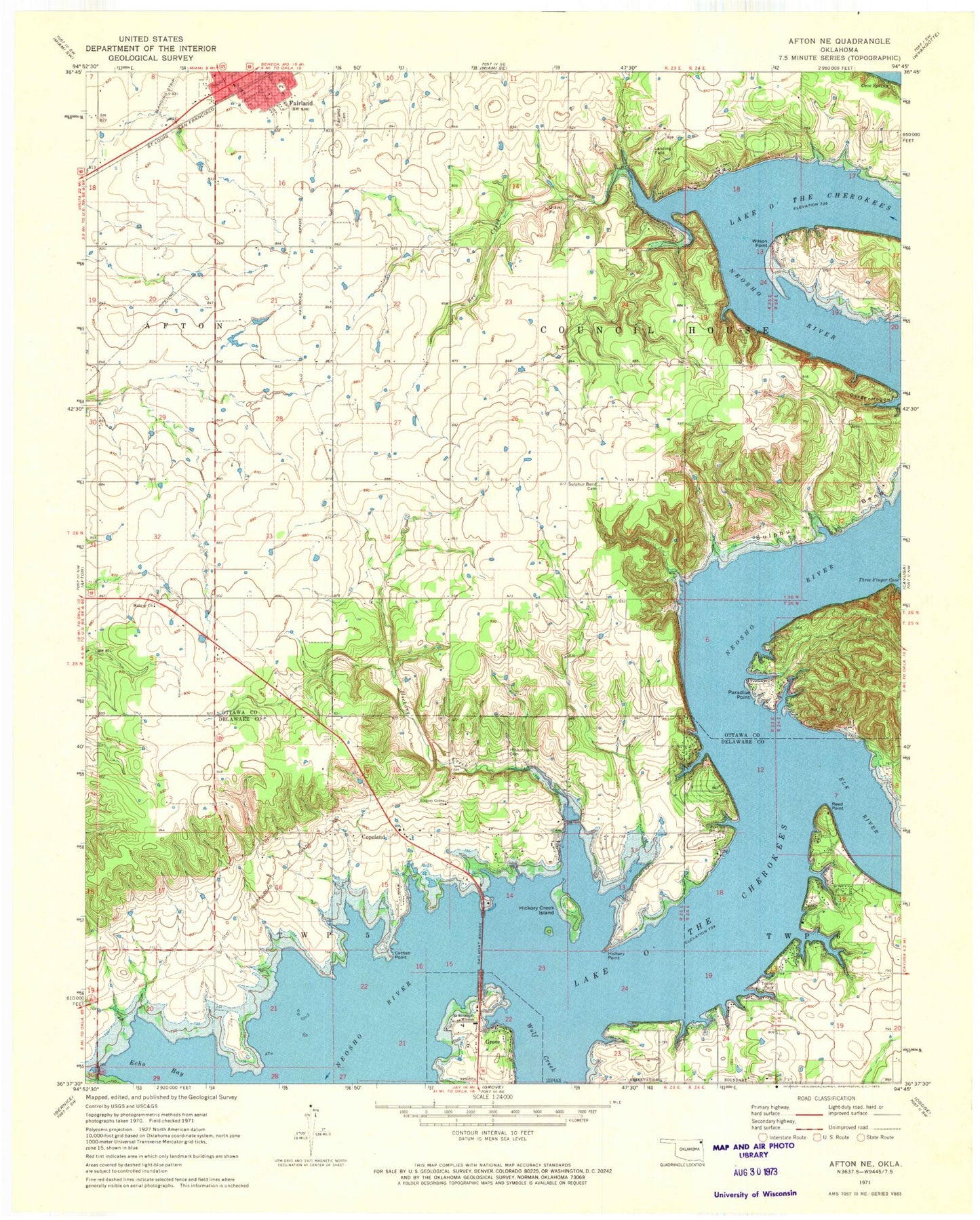
Classic USGS Afton NE Oklahoma 7.5'x7.5' Topo Map
Couldn't load pickup availability
Historical USGS topographic quad map of Afton NE in the state of Oklahoma. Map scale may vary for some years, but is generally around 1:24,000. Print size is approximately 24" x 27"
This quadrangle is in the following counties: Delaware, Ottawa.
The map contains contour lines, roads, rivers, towns, and lakes. Printed on high-quality waterproof paper with UV fade-resistant inks, and shipped rolled.
Contains the following named places: Afton-Fairland Division, Bee Creek, Catfish Point, Cave Spring, City of Fairland Fire Department Station 1, Copeland, Copeland Census Designated Place, Echo Bay, Elk River, Fairland Cemetery, Fairland Post Office, Fairland Volunteer Fire Department Station 2, Green Country Airpark, Hickory Creek, Hickory Creek Island, Hickory Grove Cemetery, Hickory Grove Church, Hickory Grove Fire Department, Hickory Point, Midway Church, Osage Hollow, Paradise Point, Paradise Point Fire Station, Reed Point, Sail Boat Bridge, Saint Elizabeth Mission, Saint Paul Lutheran Cemetery, Sulphur Bend, Sulphur Bend Cemetery, Wilson Point, Wolf Creek, ZIP Code: 74343