MyTopo
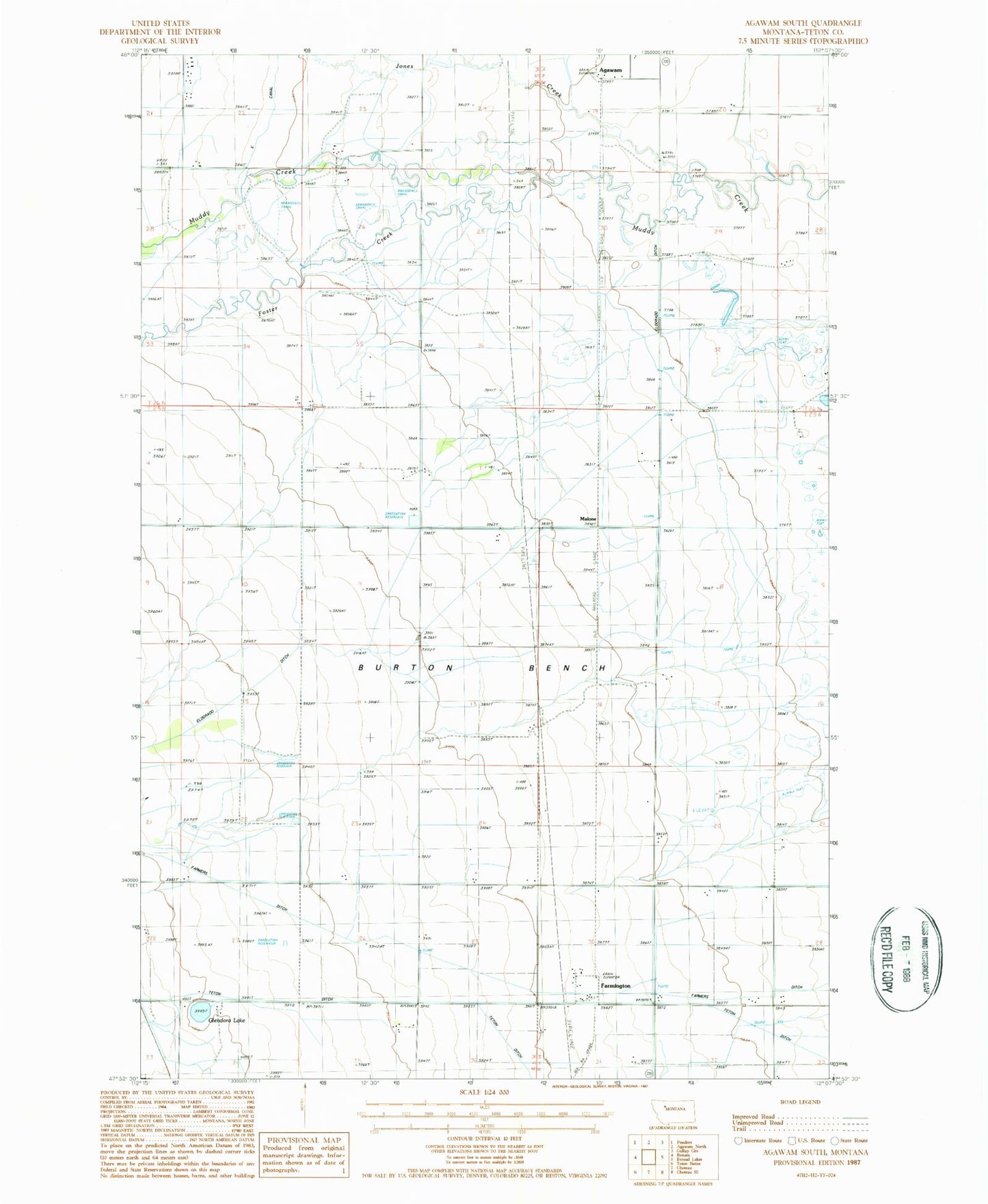
Classic USGS Agawam South Montana 7.5'x7.5' Topo Map
Couldn't load pickup availability
Historical USGS topographic quad map of Agawam South in the state of Montana. Map scale may vary for some years, but is generally around 1:24,000. Print size is approximately 24" x 27"
This quadrangle is in the following counties: Teton.
The map contains contour lines, roads, rivers, towns, and lakes. Printed on high-quality waterproof paper with UV fade-resistant inks, and shipped rolled.
Contains the following named places: 25N04W06____01 Well, 25N04W06____02 Well, 25N04W06____03 Well, 25N04W06BA__01 Well, 25N04W19D___01 Well, 25N05W24CDDD01 Well, Agawam, Agawam Post Office, Agawam School, Burton Bench, Farmington, Farmington Post Office, Farmington School, Foster Creek, German Lutheran Church, Glendora Lake, Jones Creek, Malone