
MyTopo
Classic USGS Agua Caliente Arizona 7.5'x7.5' Topo Map
Regular price
$16.95
Regular price
Sale price
$16.95
Unit price
per
Couldn't load pickup availability
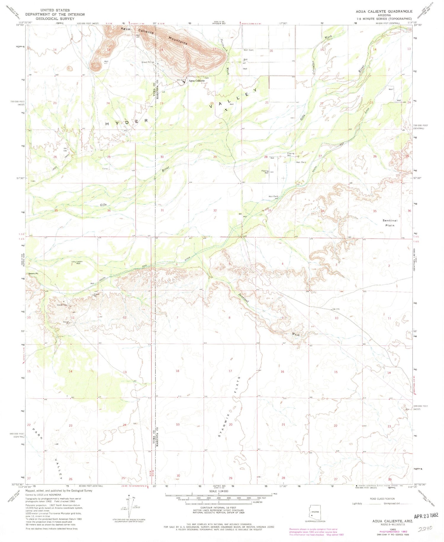
Historical USGS topographic quad map of Agua Caliente in the state of Arizona. Map scale may vary for some years, but is generally around 1:24,000. Print size is approximately 24" x 27"
This quadrangle is in the following counties: Maricopa, Yuma.
The map contains contour lines, roads, rivers, towns, and lakes. Printed on high-quality waterproof paper with UV fade-resistant inks, and shipped rolled.
Contains the following named places: Agua Caliente, Agua Caliente Pioneer Cemetery, Alpha, Browns Well, Columbus Wash, Copper Wash, Hyder Valley, Layton Well, Nottbusch Wash, San Bernardino, Sentinel Plain, Sentinel Wash, South Gila Ditch


