MyTopo
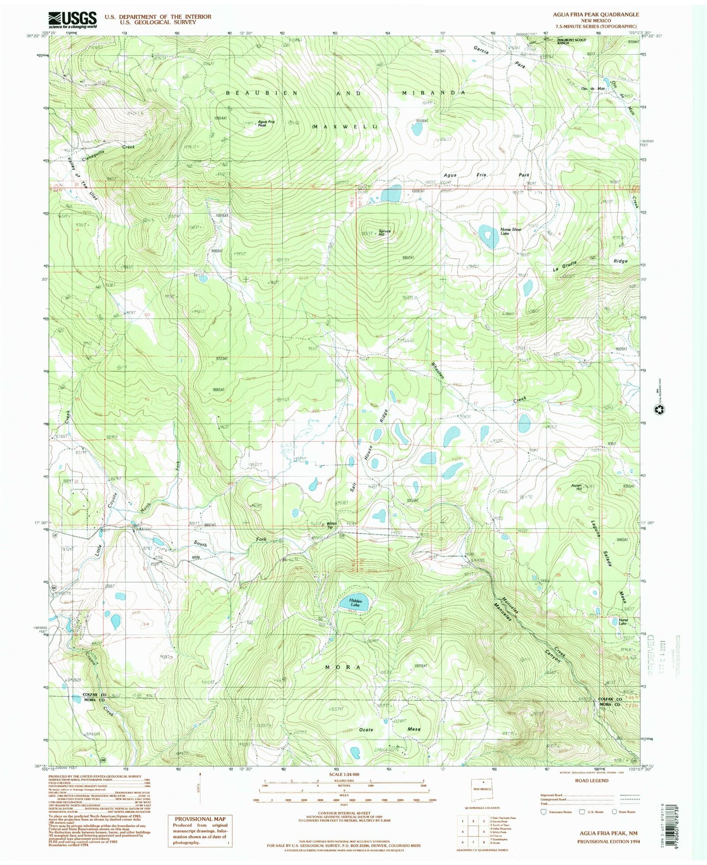
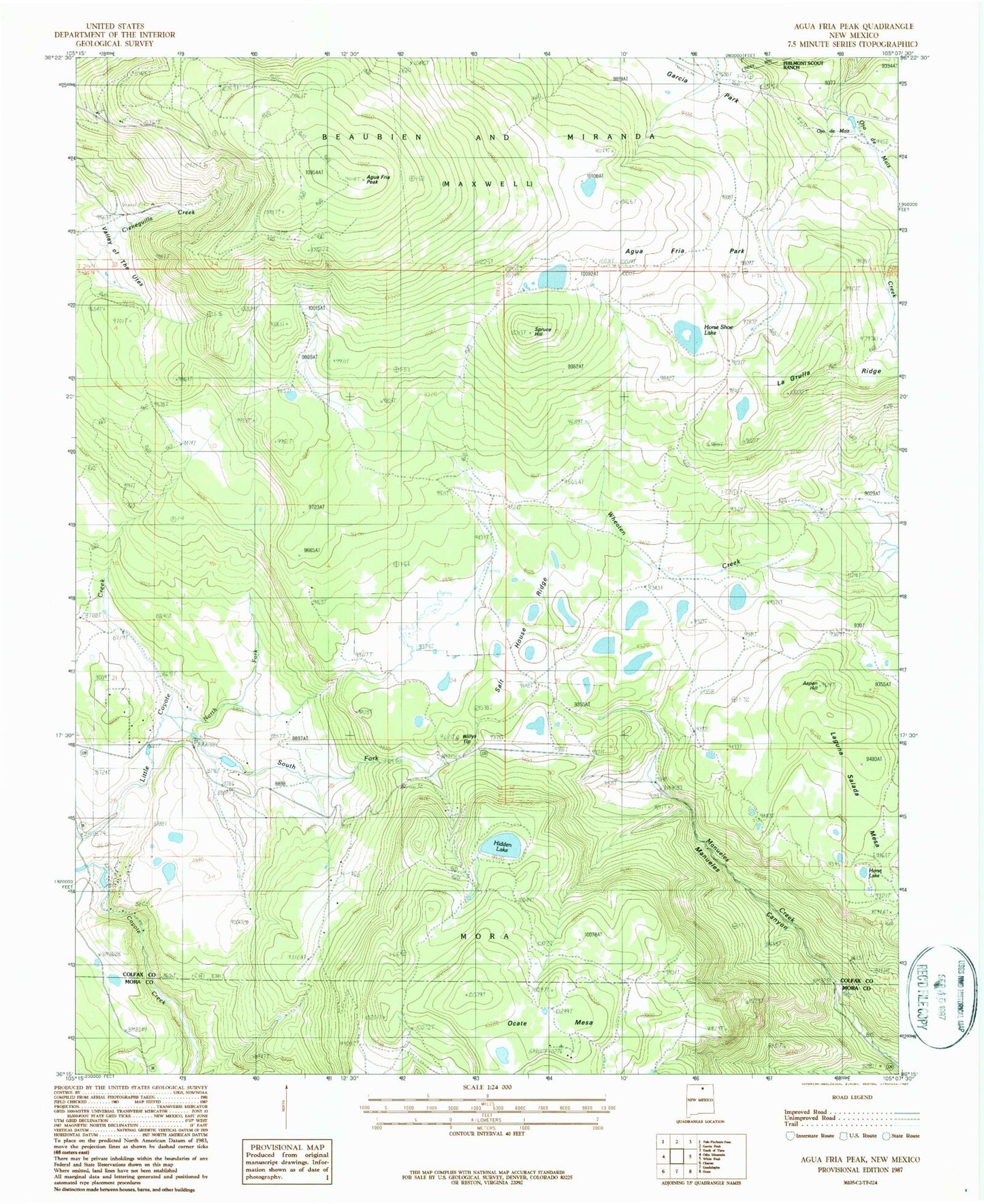
Classic USGS Agua Fria Peak New Mexico 7.5'x7.5' Topo Map
Couldn't load pickup availability
Historical USGS topographic quad map of Agua Fria Peak in the state of New Mexico. Typical map scale is 1:24,000, but may vary for certain years, if available. Print size: 24" x 27"
This quadrangle is in the following counties: Colfax, Mora.
The map contains contour lines, roads, rivers, towns, and lakes. Printed on high-quality waterproof paper with UV fade-resistant inks, and shipped rolled.
Contains the following named places: Ocate Creek, Agua Fria Park, Aspen Hill, Hidden Lake, Horse Lake, Horse Shoe Lake, North Fork Little Coyote Creek, Salt House Ridge, South Fork Little Coyote Creek, Willys Tip, Ojo de Maiz, Laguna Salada Mesa, Spruce Hill, Black Lake Resorts, Agua Fria Peak, Upper Coyote Creek Dam, Blacklake Resorts, Black Lake Post Office (historical)