
MyTopo
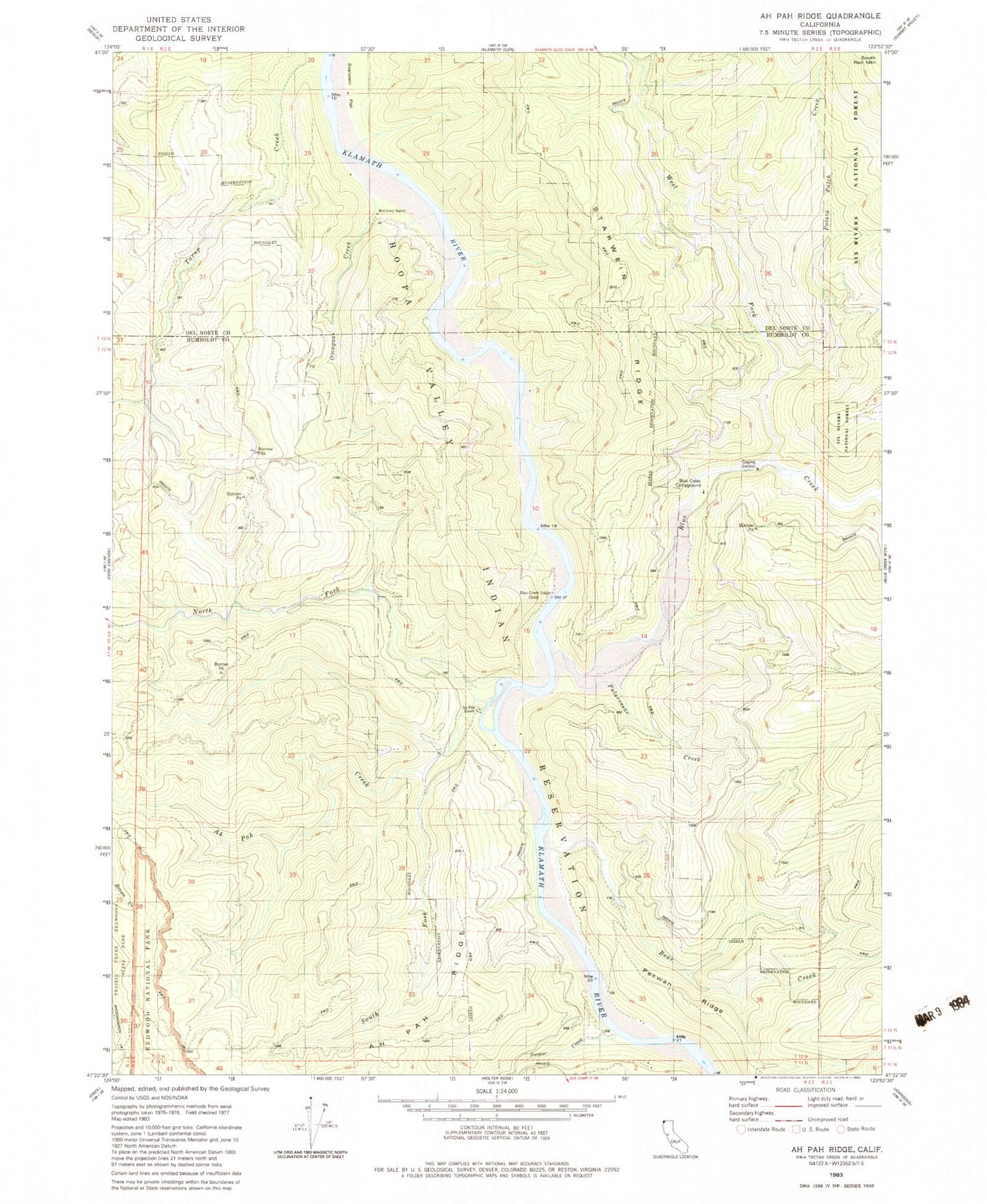
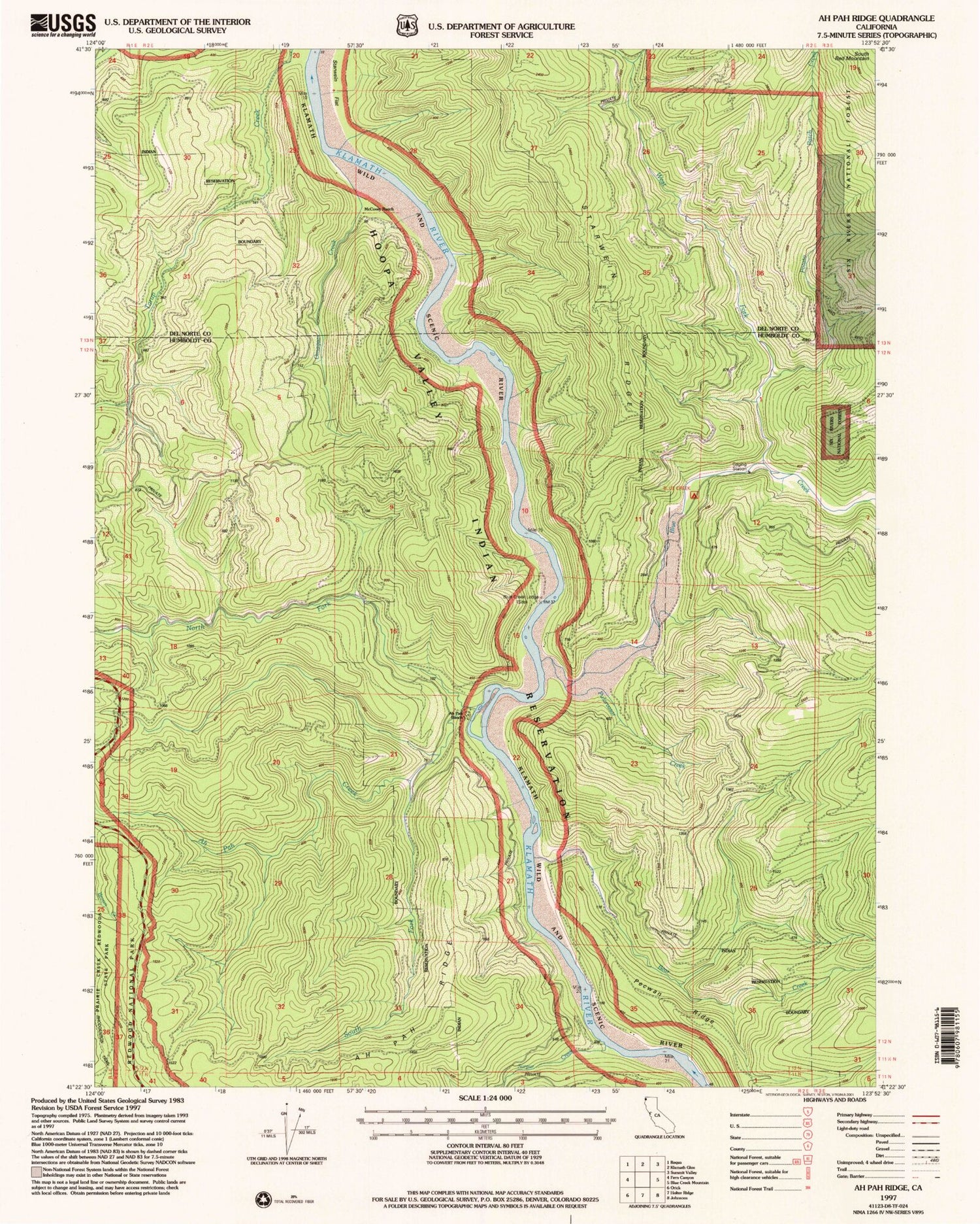
Classic USGS Ah Pah Ridge California 7.5'x7.5' Topo Map
Couldn't load pickup availability
Historical USGS topographic quad map of Ah Pah Ridge in the state of California. Map scale may vary for some years, but is generally around 1:24,000. Print size is approximately 24" x 27"
This quadrangle is in the following counties: Del Norte, Humboldt.
The map contains contour lines, roads, rivers, towns, and lakes. Printed on high-quality waterproof paper with UV fade-resistant inks, and shipped rolled.
Contains the following named places: Ah Pah Creek, Ah Pah Ranch, Ah Pah Ridge, Bear Creek, Blue Creek, Blue Creek Campground, Blue Creek Lodge, Erner, McCovey Ranch, North Fork Ah Pah Creek, Omogar Creek, Orick District, Potato Patch Creek, Pularvasar Creek, South Fork Ah Pah Creek, Starwein Flat, Starwein Ridge, Surpur Creek, West Fork Blue Creek