MyTopo
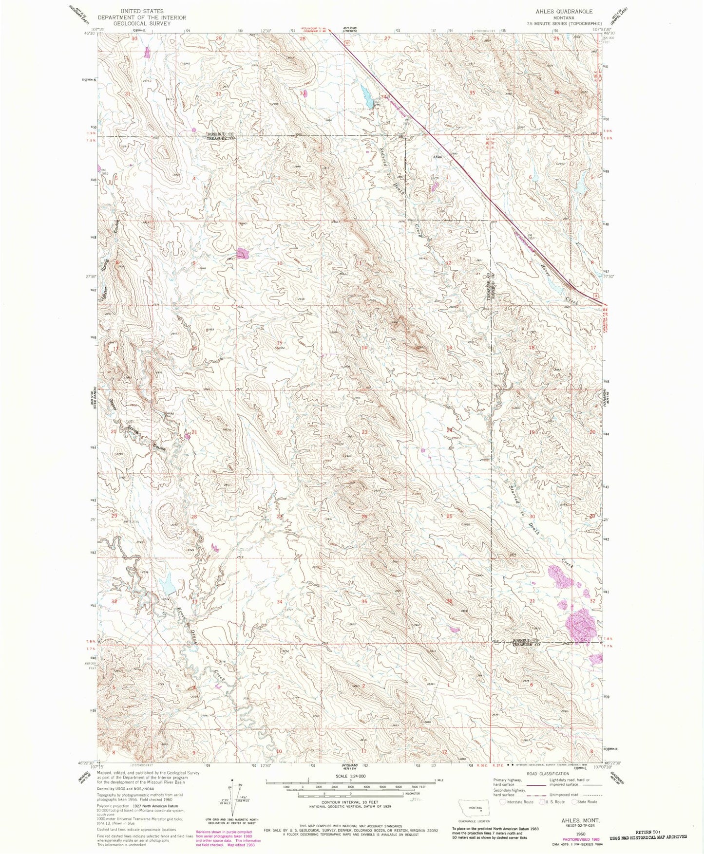
Classic USGS Ahles Montana 7.5'x7.5' Topo Map
Couldn't load pickup availability
Historical USGS topographic quad map of Ahles in the state of Montana. Map scale may vary for some years, but is generally around 1:24,000. Print size is approximately 24" x 27"
This quadrangle is in the following counties: Rosebud, Treasure.
The map contains contour lines, roads, rivers, towns, and lakes. Printed on high-quality waterproof paper with UV fade-resistant inks, and shipped rolled.
Contains the following named places: Ahles, Ahles Post Office, Ahles School, Ballard Number 1 Dam, Big Timber Number 41 Dam, BN Number 9 Dam, Geyser Spring Coulee, JA Montgomery Number 1 Dam, Kniepp Number 1 Dam, NW Starved to Death-24 Mine, W Starved to Death SW Mine, W Starved to Death-5 Mine, West Starved to Death 31 32 Mine