MyTopo
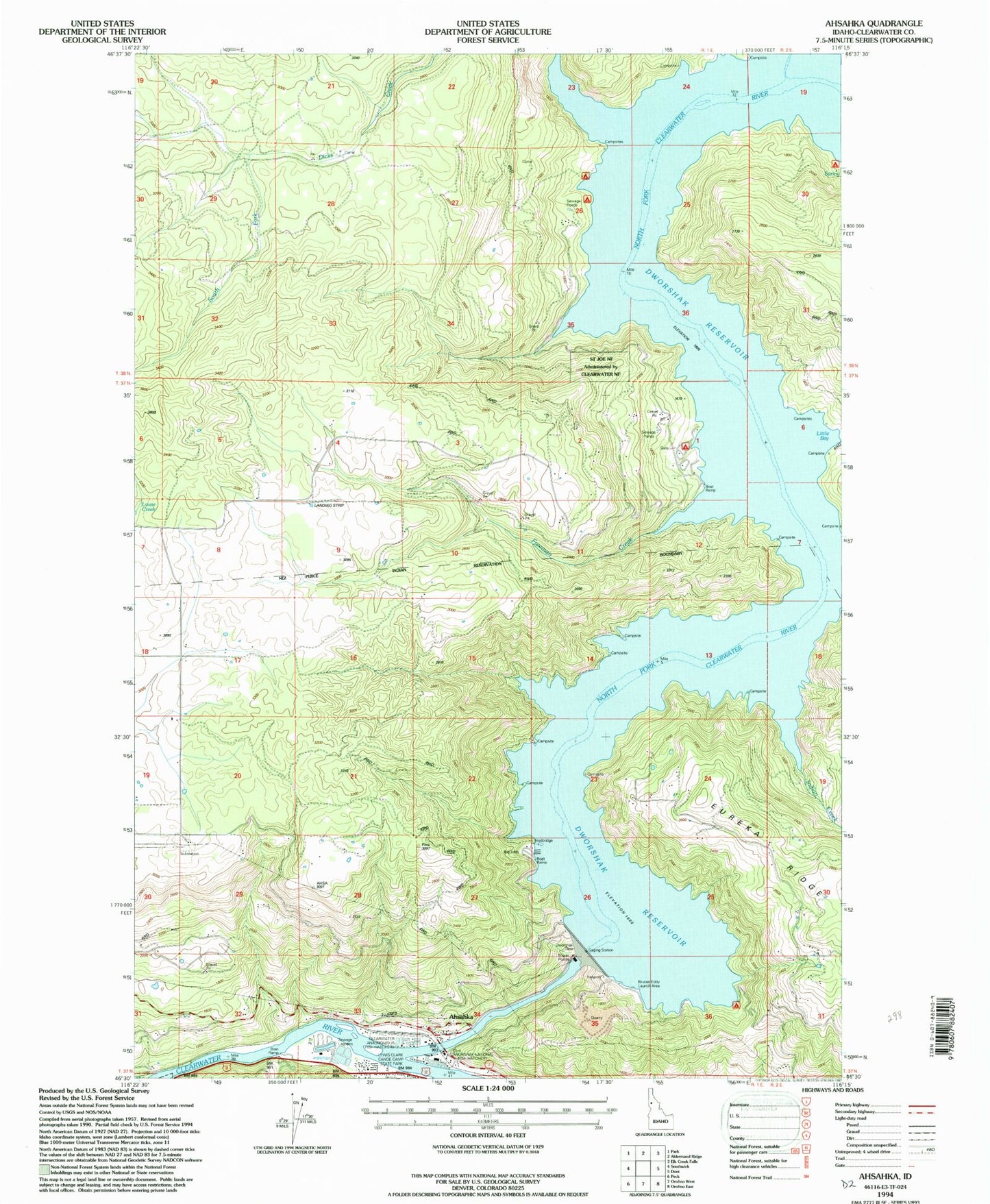
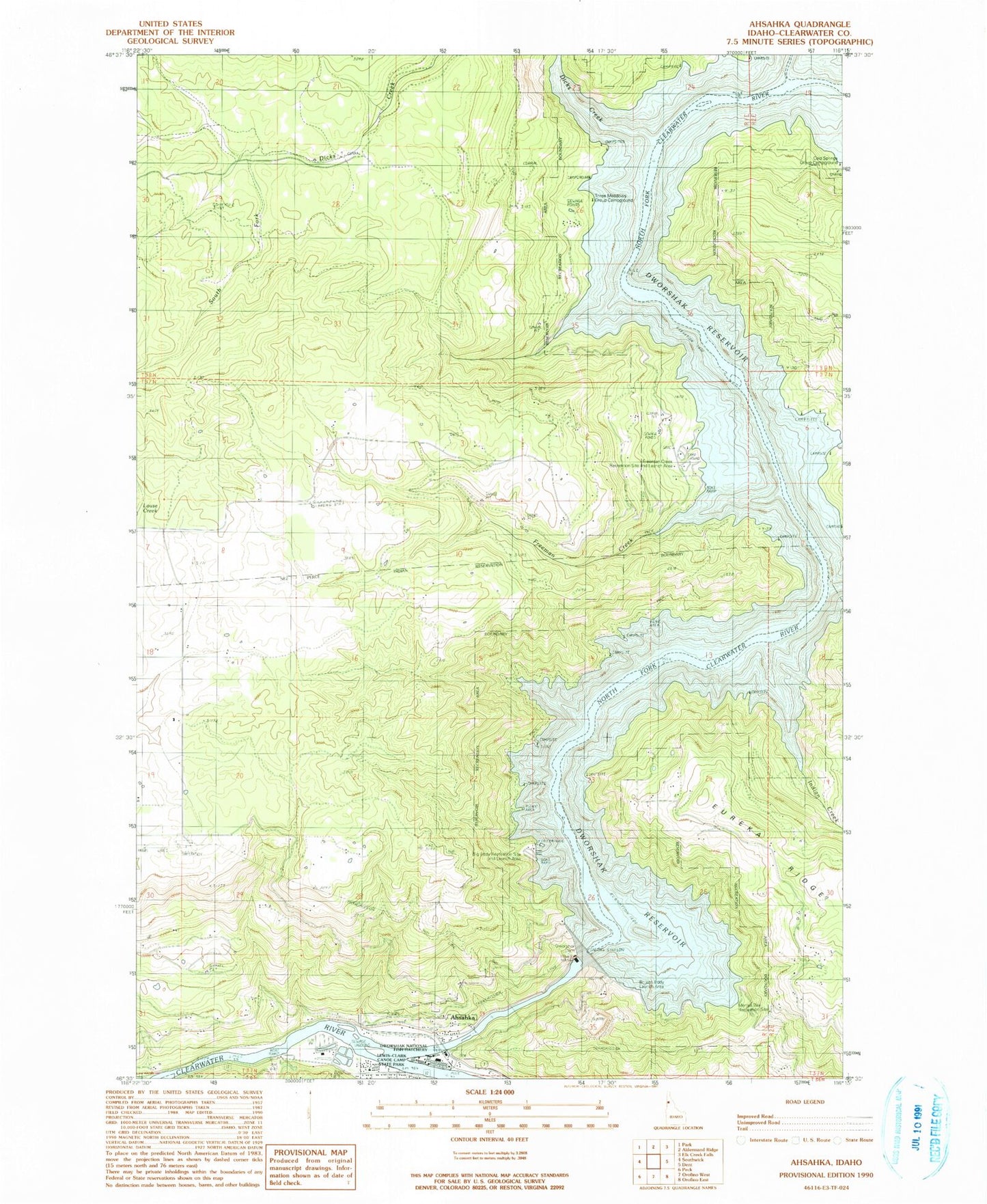
Classic USGS Ahsahka Idaho 7.5'x7.5' Topo Map
Couldn't load pickup availability
Historical USGS topographic quad map of Ahsahka in the state of Idaho. Typical map scale is 1:24,000, but may vary for certain years, if available. Print size: 24" x 27"
This quadrangle is in the following counties: Clearwater, Nez Perce.
The map contains contour lines, roads, rivers, towns, and lakes. Printed on high-quality waterproof paper with UV fade-resistant inks, and shipped rolled.
Contains the following named places: Beaver Dam Recreation Area, Canyon Creek, Dicks Creek, Elk Creek, Elk Creek School, Freeman Creek, Indian Creek, Big Eddy Campground, Dworshak Dam and Visitor Center, Dworshak National Fish Hatchery, Three Meadows Recreation Site, Little Bay, Merrys Bay Campground, Bruces Eddy Campground, Dworshak State Park, Bruce Eddy, Freeman Creek Campground, Dworshak Dam, Three Meadows Lodge, Bruces Eddy, Ahsahka, Dworshak Heliport, Ahsahka Access Area, McGill Spur Access Area, Freeman Creek Airport, Clearwater Fish Hatchery, Ahsahka Post Office