MyTopo
Classic USGS Ahumoa Hawaii 7.5'x7.5' Topo Map
Couldn't load pickup availability
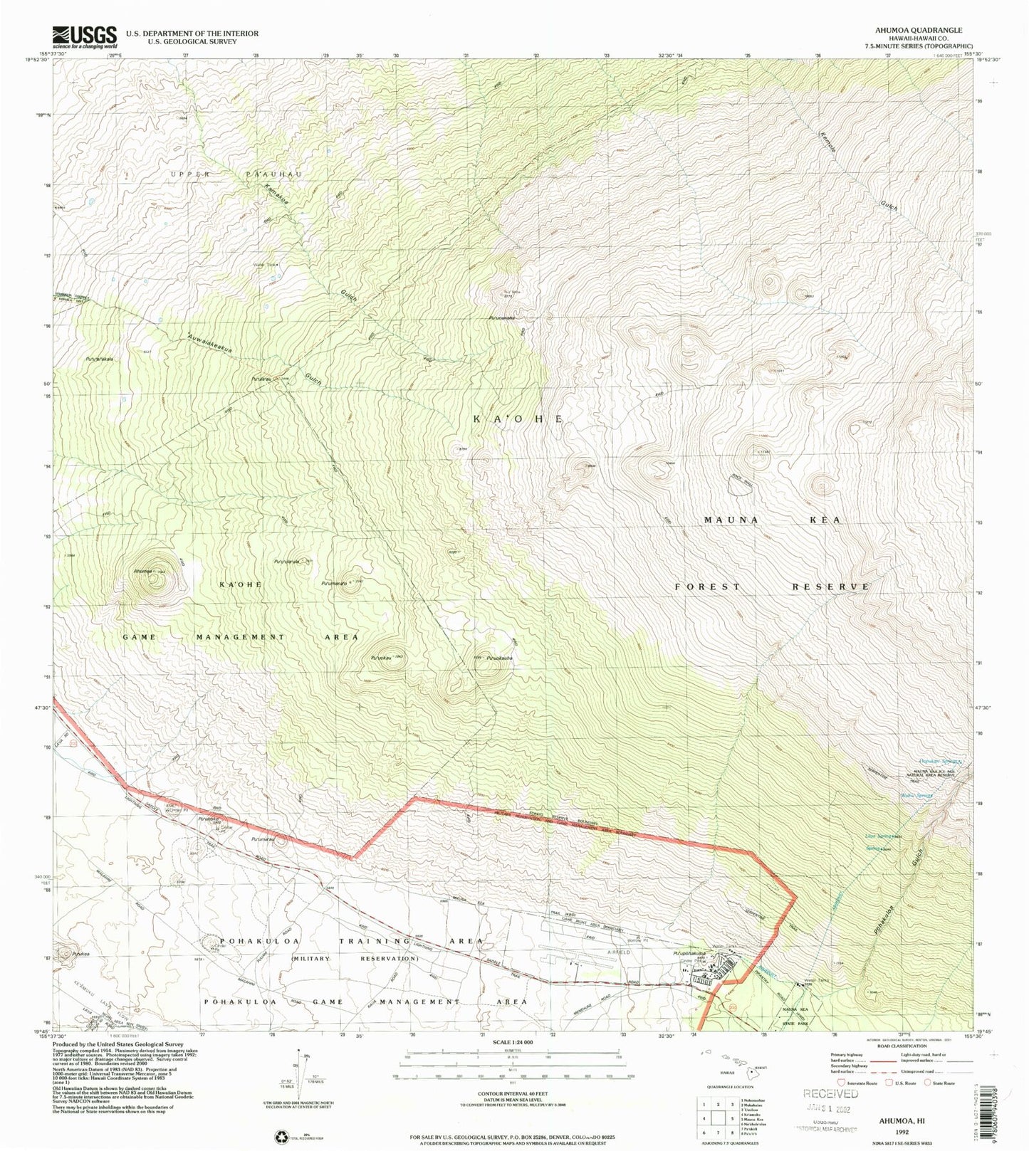
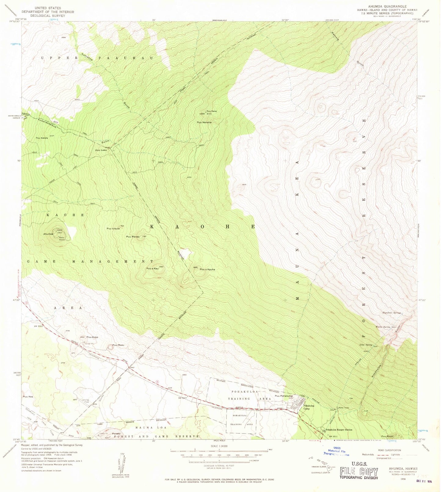
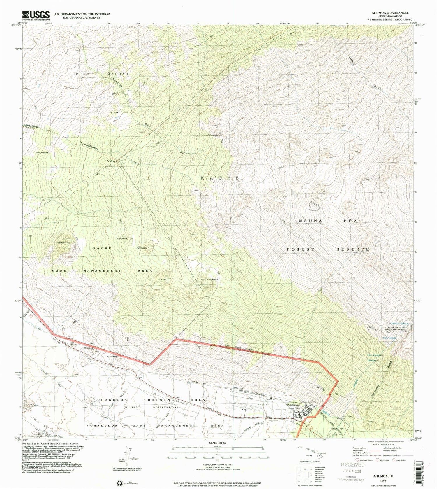
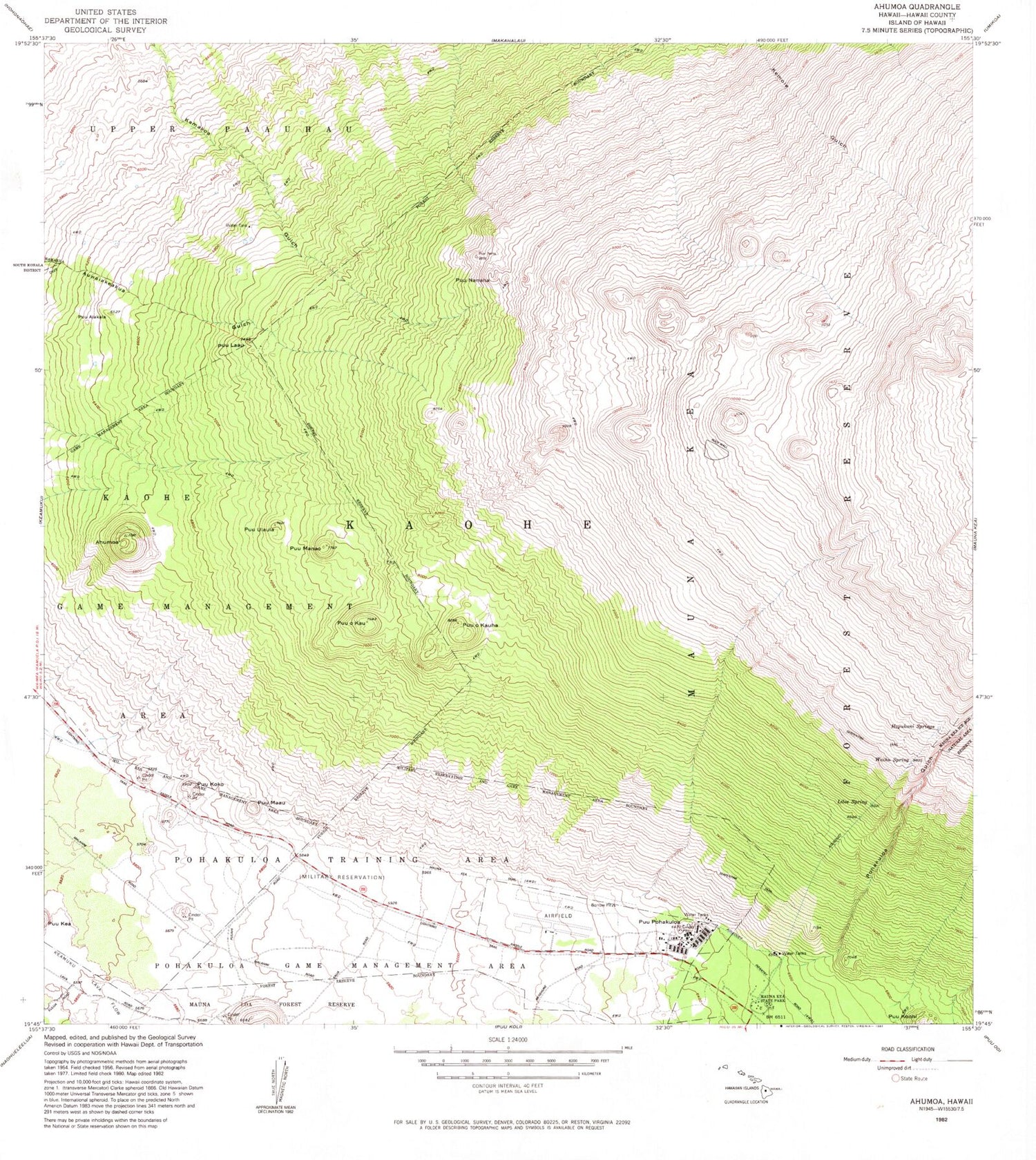
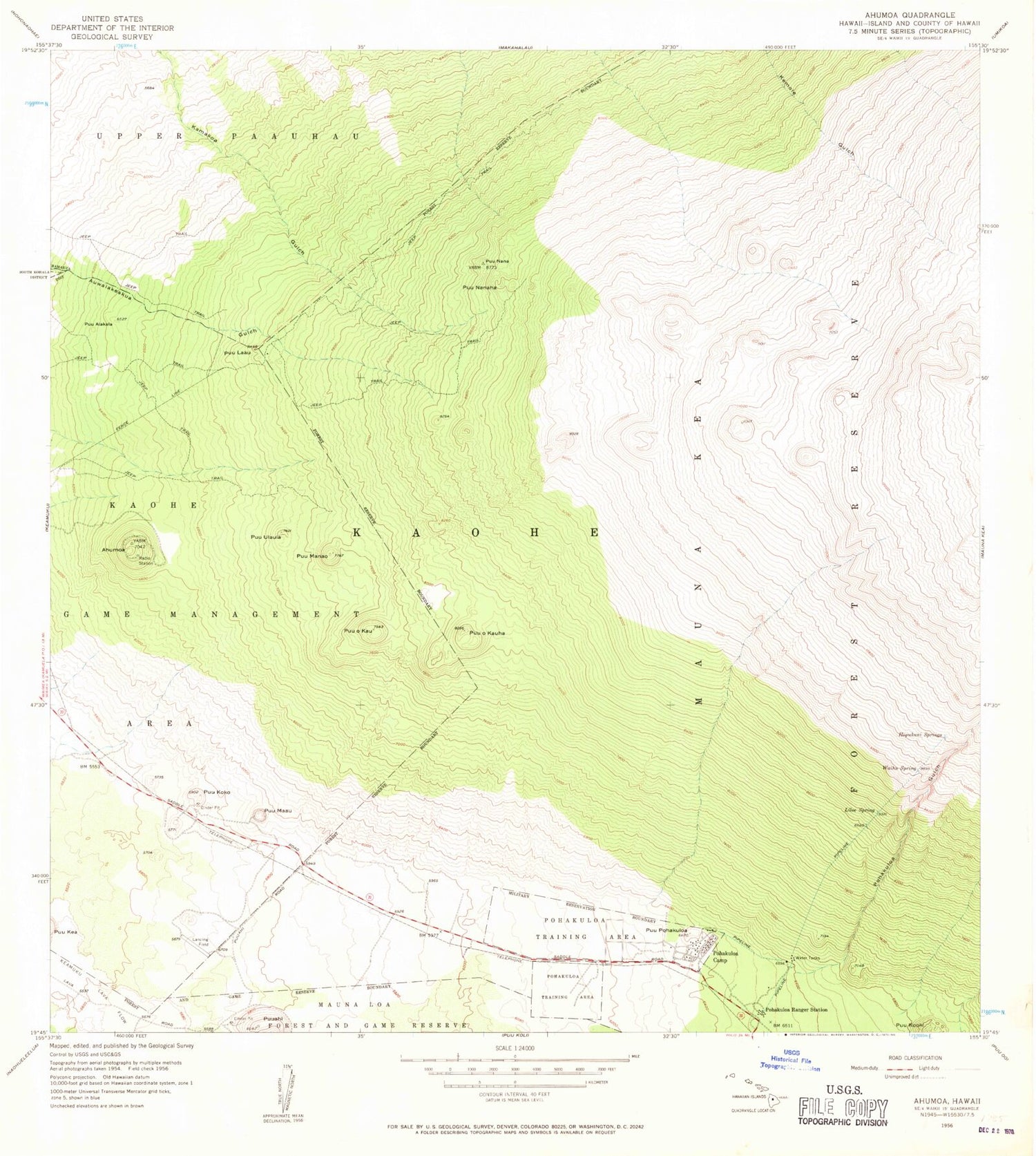
Historical USGS topographic quad map of Ahumoa in the state of Hawaii. Map scale may vary for some years, but is generally around 1:24,000. Print size is approximately 24" x 27"
This quadrangle is in the following counties: Hawaii.
The map contains contour lines, roads, rivers, towns, and lakes. Printed on high-quality waterproof paper with UV fade-resistant inks, and shipped rolled.
Contains the following named places: Ahumoa, Bradshaw Army Airfield, Houpookane, Ka'ohe Game Management Area, Liloe Spring, Mauna Kea State Park, Nau, Paauhau-Paauilo Division, Pohakuloa Camp, Pohakuloa Game Management Area, Pohakuloa Gulch, Pohakuloa Ranger Station, Pu'u'ai'akala, Pu'ukea, Pu'ukoko, Pu'ula'au, Pu'uma'au, Pu'umana'o, Pu'unana, Pu'unanaha, Pu'uokau, Pu'uokauha, Pu'upohakuloa, Pu'u'ula'ula, Waihu Spring