MyTopo
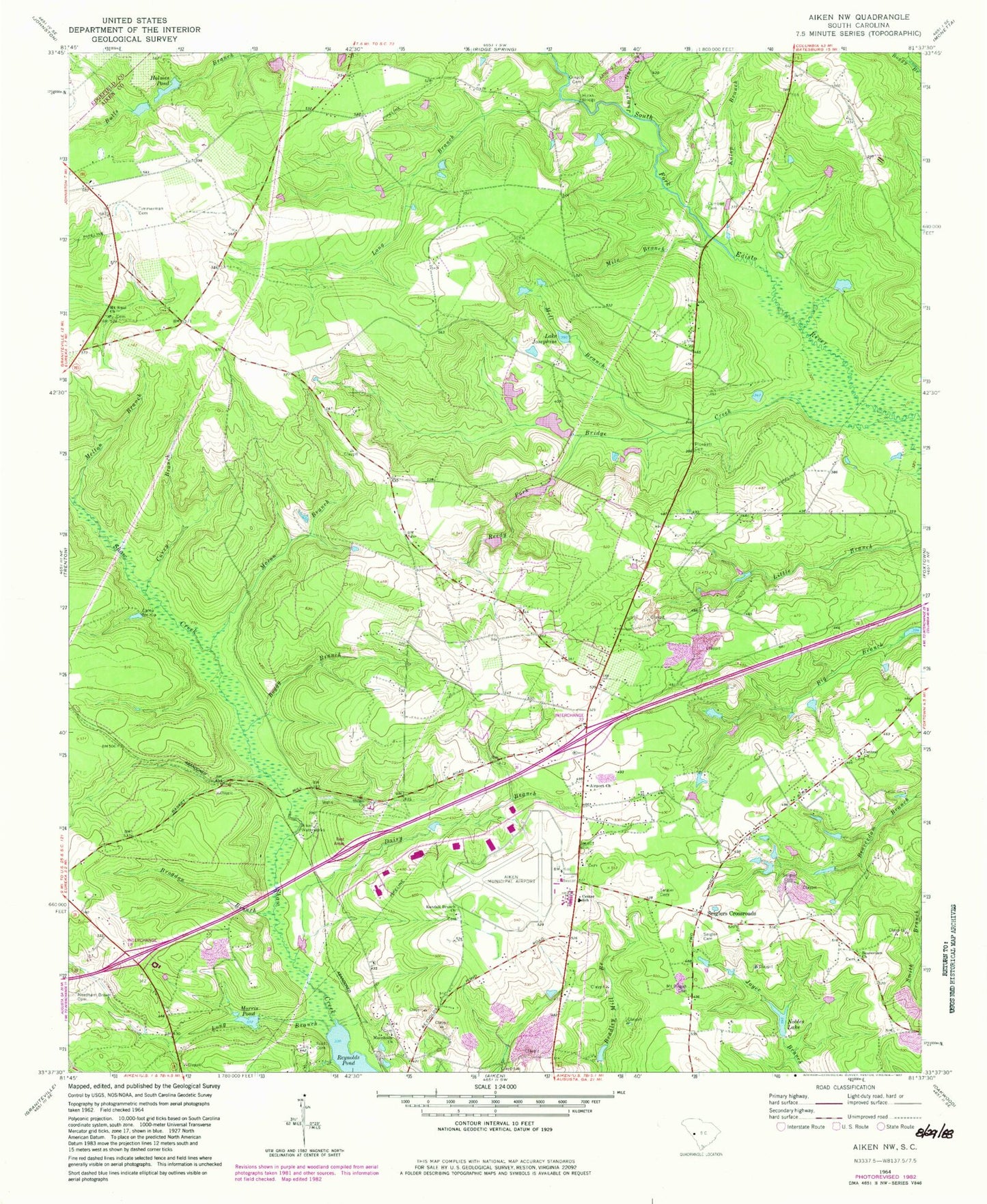
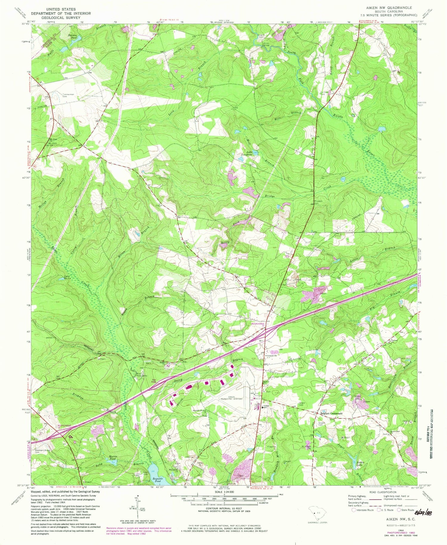
Classic USGS Aiken NW South Carolina 7.5'x7.5' Topo Map
Couldn't load pickup availability
Historical USGS topographic quad map of Aiken NW in the state of South Carolina. Typical map scale is 1:24,000, but may vary for certain years, if available. Print size: 24" x 27"
This quadrangle is in the following counties: Aiken, Edgefield.
The map contains contour lines, roads, rivers, towns, and lakes. Printed on high-quality waterproof paper with UV fade-resistant inks, and shipped rolled.
Contains the following named places: Airport Church, Boggy Branch, Bridge Creek, Brogdon Branch, Camp NeKia, Central Church, Cumbee Cemetery, Curry Branch, Dairy Branch, Gregory Cemetery, Hicks Bridge, Holmes Pond, Lake Josephine, Jumping Gut Creek, Kalop Branch, Long Branch, Long Branch, Macedonia Church, Mason Branch, Melton Branch, Mile Branch, Mill Branch, Morris Pond, Mount Pisgah Cemetery, Needham Brown Cemetery, Nobles Lake, Reedy Fork, Scott Cemetery, Seigler Cemetery, Seigler Cemetery, Seigler Family Cemetery, Seiglers Crossroads, Timmerman Cemetery, Bridge Creek School (historical), Central School (historical), Fountain Academy (historical), Givens Pond (historical), Hildridge Branch School (historical), Mount Zion School (historical), Pentecostal Holiness Church, Plato School (historical), Round Branch Church (historical), Shiloh Church (historical), Shiloh School (historical), South Carolina Noname 02002 D-0710 Dam, Reynolds Pond, South Carolina Noname 02039 Dam, South Carolina Noname 02108 D-2045 Dam, Morris Lake, Holmes Long Branch Dam D-2047, Holmes Long Branch Pond, Holmes Pond Dam D-2026, Aiken Waterworks, Beaverdam Baptist Church, Center School, Mount Sinai Baptist Church, Randall Branch Baptist Church, Shiloh Baptist Church, Aiken Regional Airport, Aiken Northeast Division, Aiken Army Air Field (historical), Aiken Air Force Station (historical), Center Fire Department


