
MyTopo
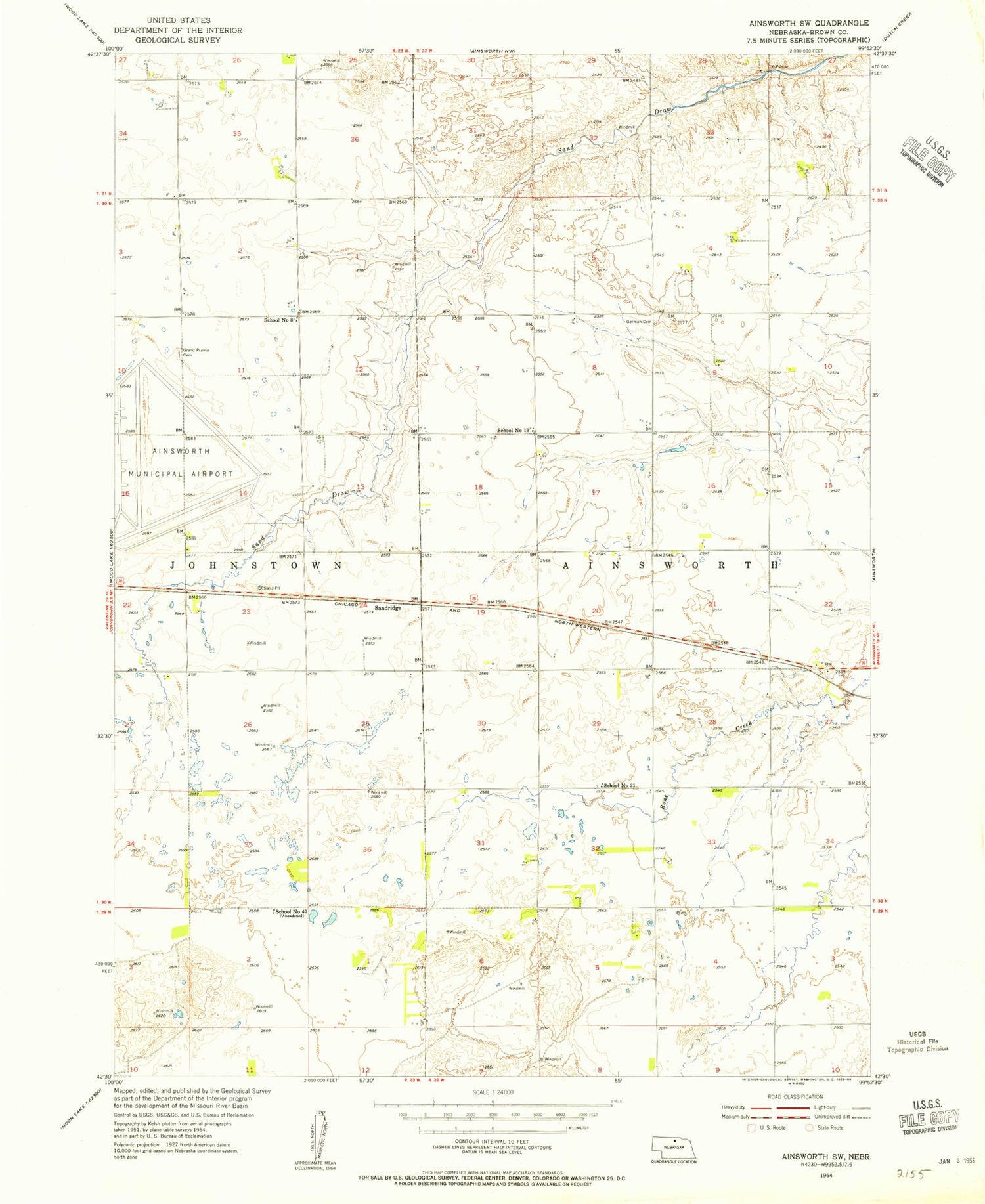
Classic USGS Ainsworth SW Nebraska 7.5'x7.5' Topo Map
Couldn't load pickup availability
Historical USGS topographic quad map of Ainsworth SW in the state of Nebraska. Map scale may vary for some years, but is generally around 1:24,000. Print size is approximately 24" x 27"
This quadrangle is in the following counties: Brown.
The map contains contour lines, roads, rivers, towns, and lakes. Printed on high-quality waterproof paper with UV fade-resistant inks, and shipped rolled.
Contains the following named places: Ainsworth Army Air Field, Ainsworth Army Air Field Historical Marker, Ainsworth Municipal Golf Course, Bejot Feedlots, Budde and Brown County Detention Dam, Budde Reservoir, German Cemetery, Grand Prairie Cemetery, Sandridge, School Number 13, School Number 40, School Number 8, Snyder Group Dam, Snyder Group Reservoir, Westside Public School


