MyTopo
Classic USGS Akaska SW South Dakota 7.5'x7.5' Topo Map
Regular price
$16.95
Regular price
Sale price
$16.95
Unit price
per
Couldn't load pickup availability
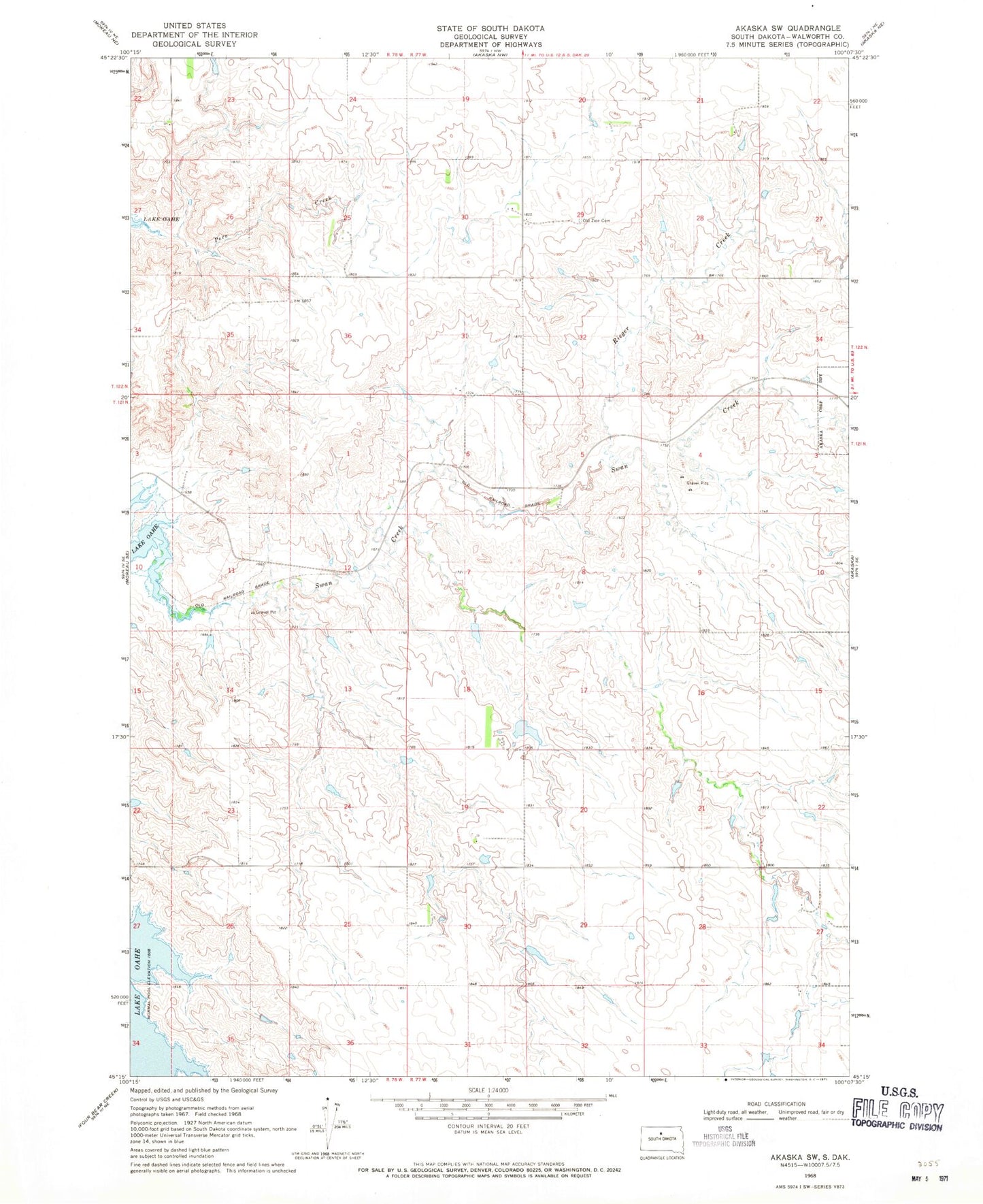
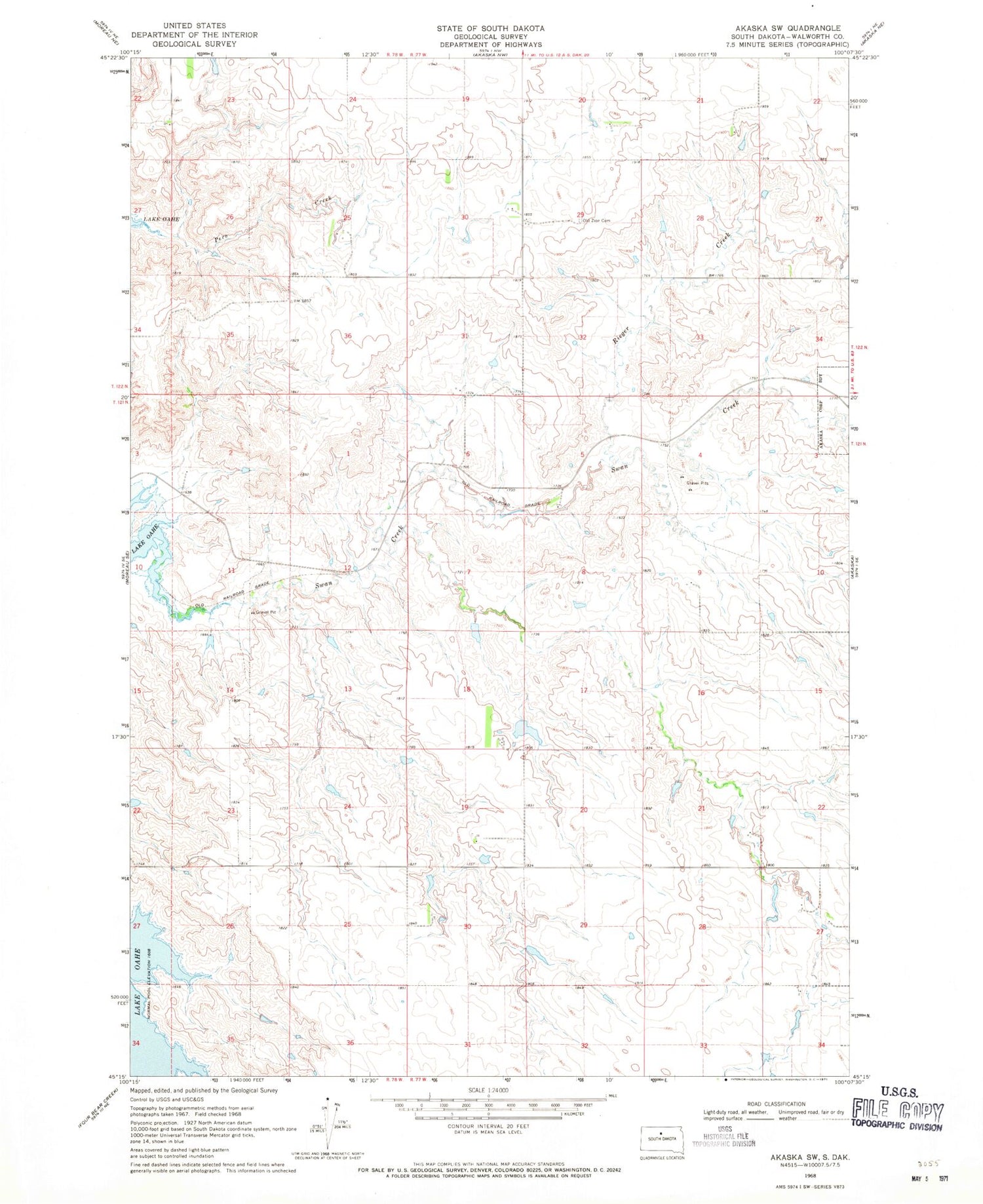
Historical USGS topographic quad map of Akaska SW in the state of South Dakota. Map scale may vary for some years, but is generally around 1:24,000. Print size is approximately 24" x 27"
This quadrangle is in the following counties: Walworth.
The map contains contour lines, roads, rivers, towns, and lakes. Printed on high-quality waterproof paper with UV fade-resistant inks, and shipped rolled.
Contains the following named places: Albert Kulm Dam, Calvin Ballensky Dam, Old Zion Cemetery, Rieger Creek, Tom Hauk Number 1 Dam, Township of Brown, Township of Liberty, Township of River, Township of Scranton, ZIP Code: 57420