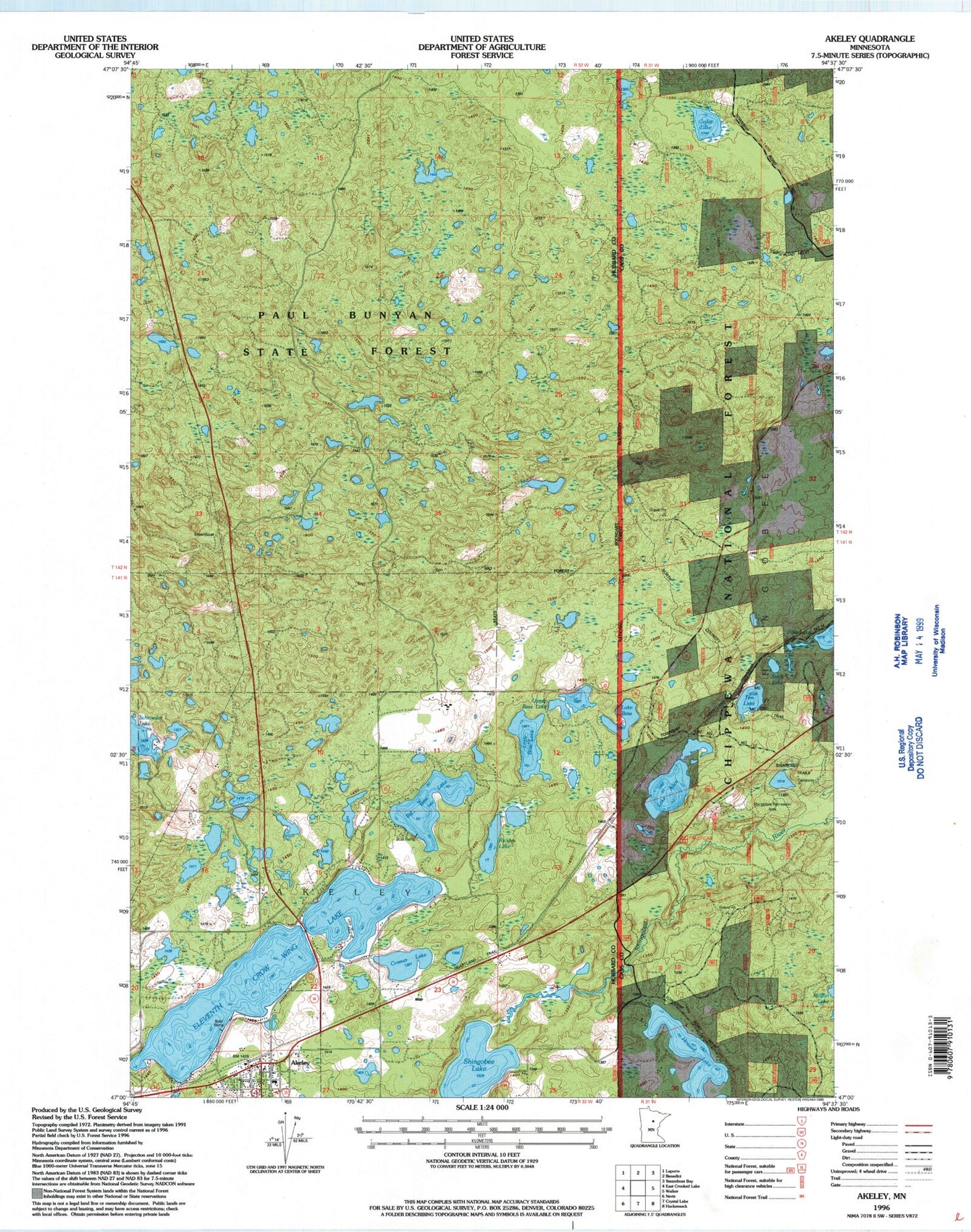
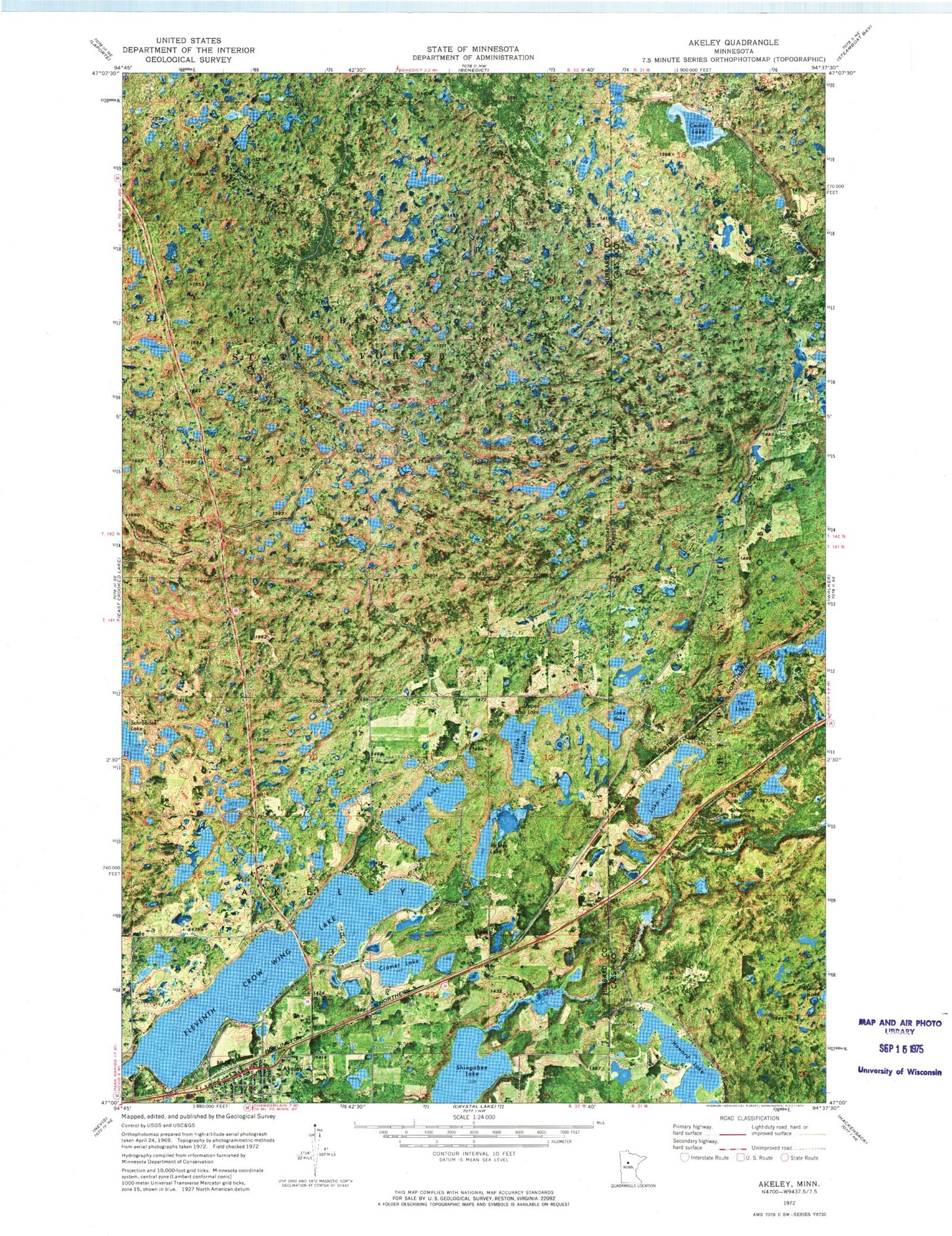
MyTopo
Classic USGS Akeley Minnesota 7.5'x7.5' Topo Map
Couldn't load pickup availability
Historical USGS topographic quad map of Akeley in the state of Minnesota. Map scale may vary for some years, but is generally around 1:24,000. Print size is approximately 24" x 27"
This quadrangle is in the following counties: Cass, Hubbard.
The map contains contour lines, roads, rivers, towns, and lakes. Printed on high-quality waterproof paper with UV fade-resistant inks, and shipped rolled.
Contains the following named places: Akelely City Park, Akeley, Akeley Campground, Akeley City Hall, Akeley Elementary School, Akeley Police Department, Akeley Post Office, Akeley Railroad Station, Big Bass Lake, Cedar Lake, City of Akeley, Cramer Lake, Eastern Hubbard County Fire District Akeley Fire and Rescue, Eleventh Crow Wing Lake, First Lutheran Church, Heartland Trail, Howard Lake Trail, Lake Alice, Lake Alice Post Office, Lake Bess, Little Bass Lake, Paul Bunyan Historical Museum, Paul Bunyan Statue, Rickles Lake, Roger's on Red Lake Campground, Saint John's Catholic Church, Saint John's Lutheran Church, Schroeder Lake, Shingobee Lake, Shingobee Ski Area, Shingobee Trails, Sixth Lake, Snoway 1, Ten Lake, Township of Akeley, Township of Steamboat River, Trailhead Picnic Area, Upper Bass Lake, Walker Hackensack - Akeley School