MyTopo
Classic USGS Akers Butte Oregon 7.5'x7.5' Topo Map
Regular price
$16.95
Regular price
Sale price
$16.95
Unit price
per
Couldn't load pickup availability
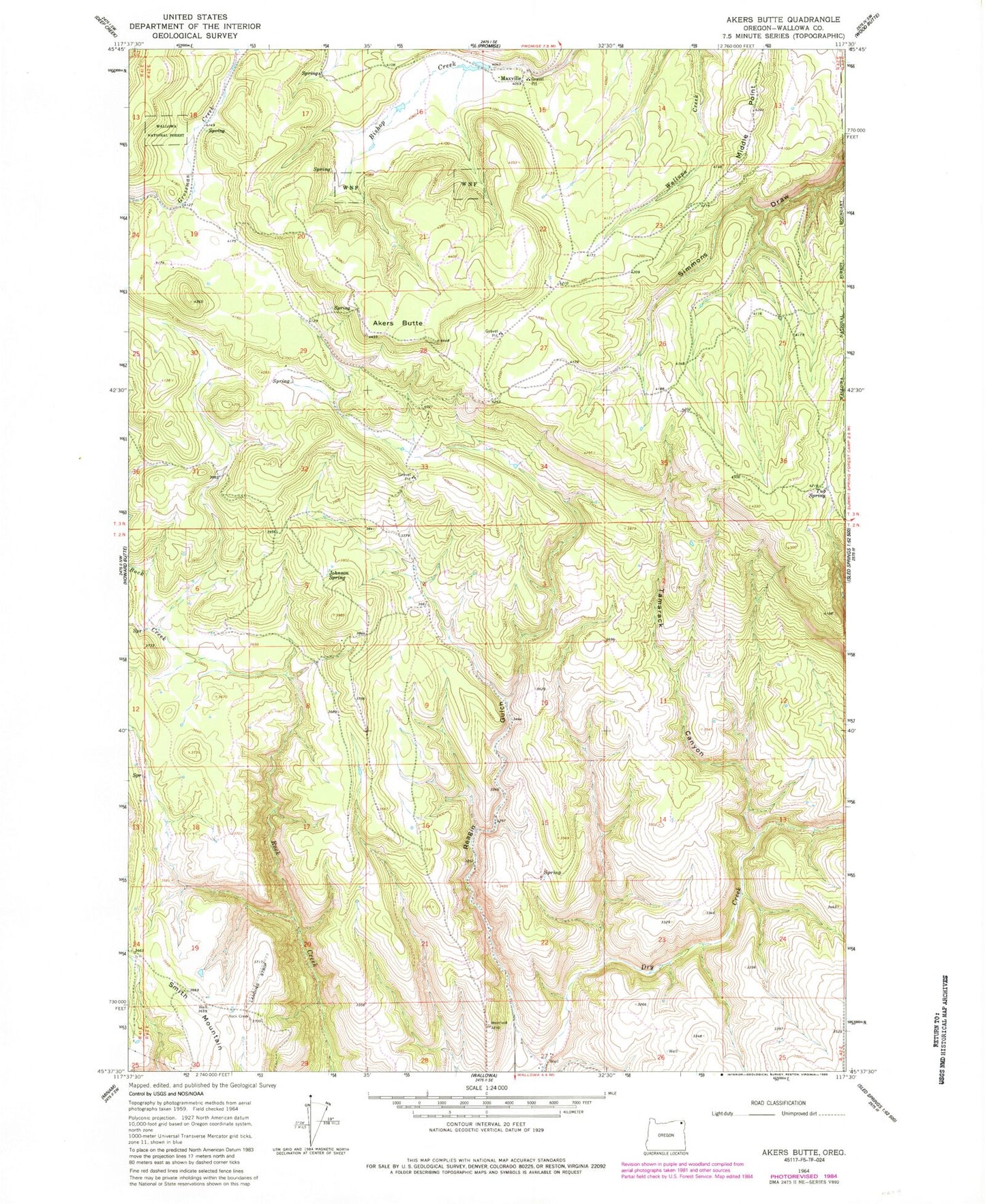
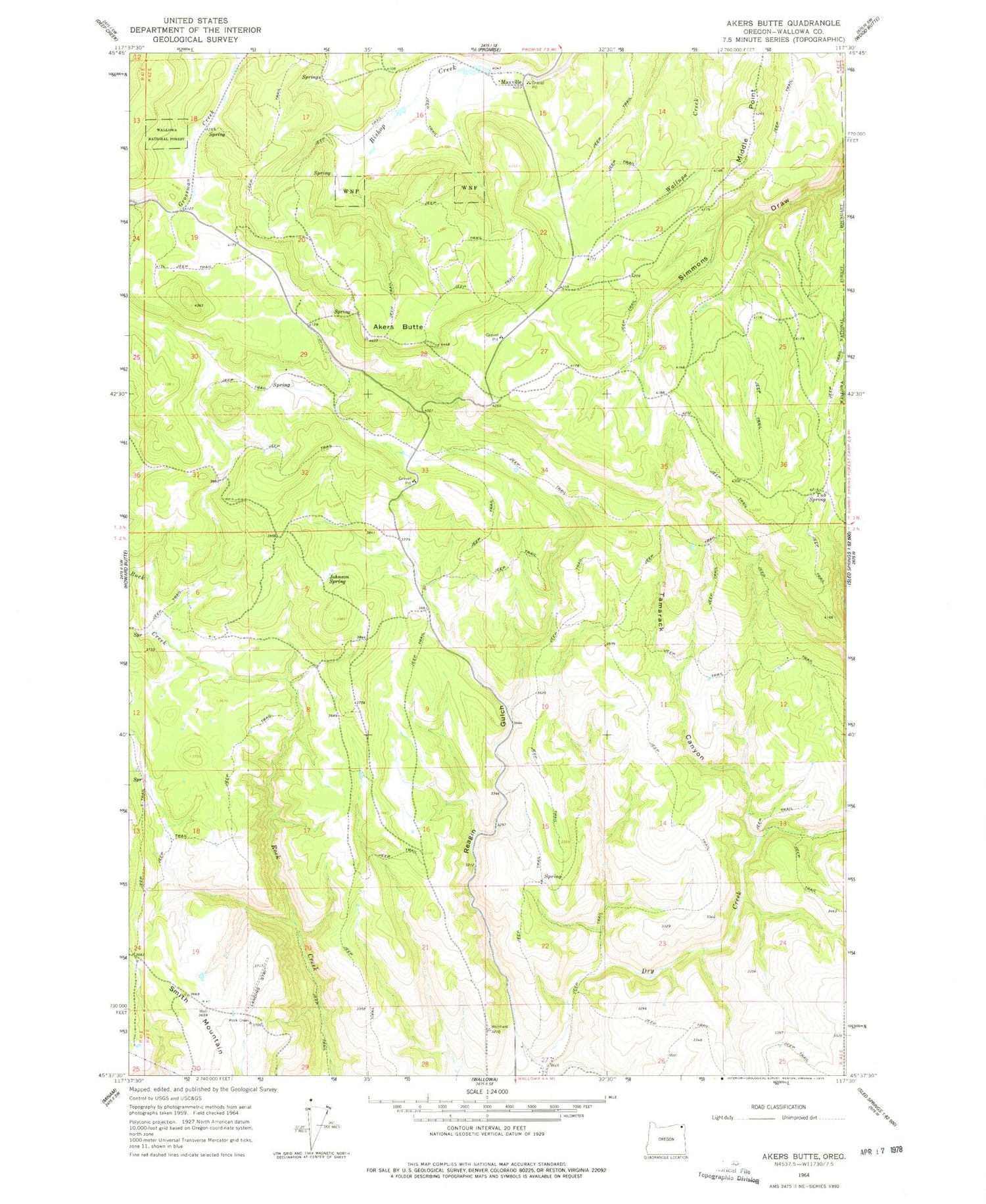
Historical USGS topographic quad map of Akers Butte in the state of Oregon. Map scale may vary for some years, but is generally around 1:24,000. Print size is approximately 24" x 27"
This quadrangle is in the following counties: Wallowa.
The map contains contour lines, roads, rivers, towns, and lakes. Printed on high-quality waterproof paper with UV fade-resistant inks, and shipped rolled.
Contains the following named places: Akers Butte, Bishop Meadows, Johnson Spring, Joso Meadow, Maxville, Maxville Post Office, Middle Point, Reagan Gulch, Tamarack Canyon, Tub Spring, ZIP Code: 97885