MyTopo
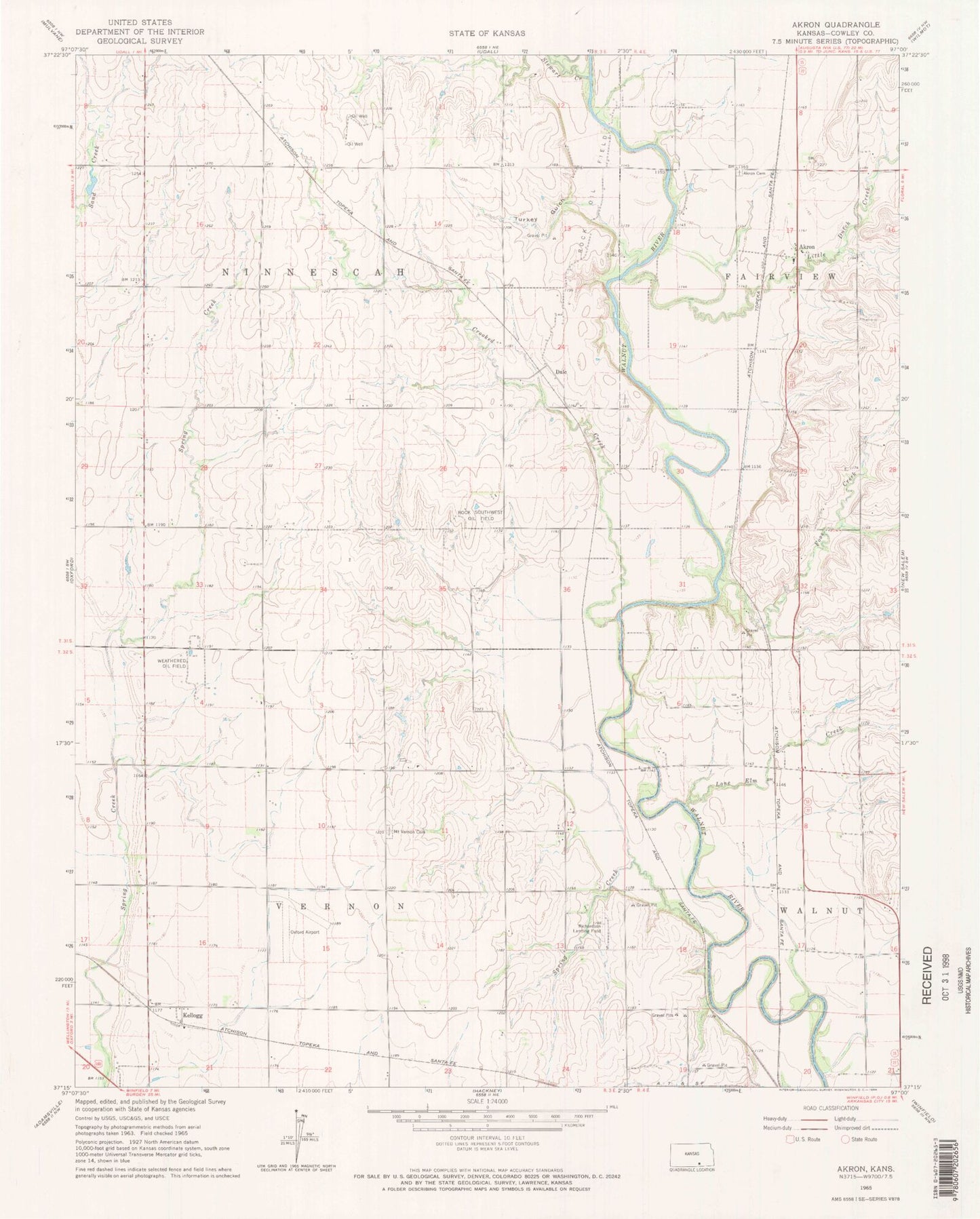
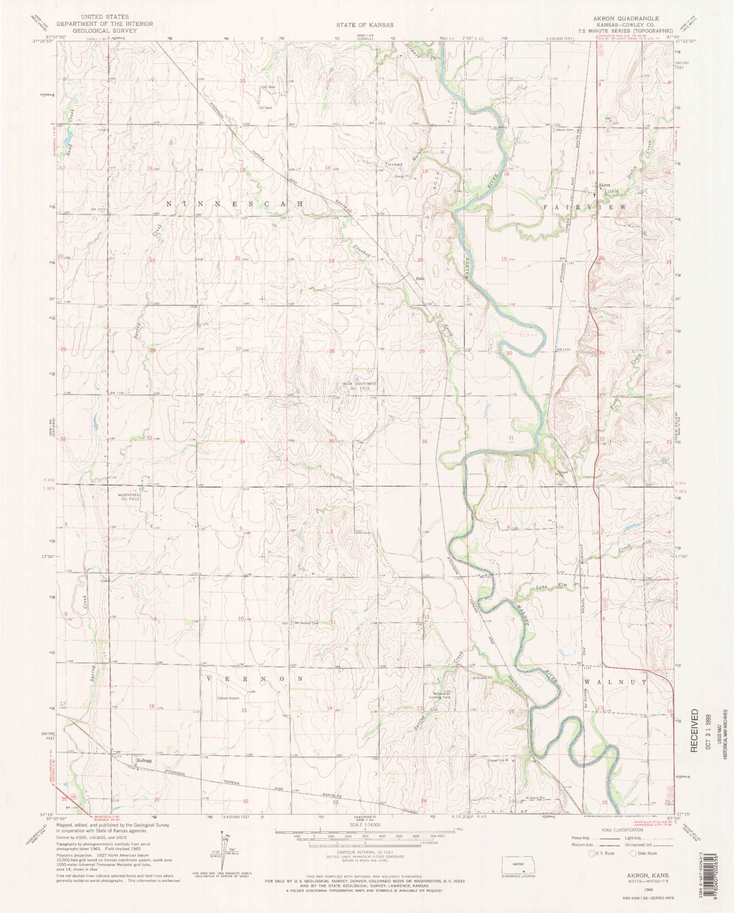
Classic USGS Akron Kansas 7.5'x7.5' Topo Map
Couldn't load pickup availability
Historical USGS topographic quad map of Akron in the state of Kansas. Map scale may vary for some years, but is generally around 1:24,000. Print size is approximately 24" x 27"
This quadrangle is in the following counties: Cowley.
The map contains contour lines, roads, rivers, towns, and lakes. Printed on high-quality waterproof paper with UV fade-resistant inks, and shipped rolled.
Contains the following named places: Akron, Akron Cemetery, Bethel School, Blue School, Cherokee Strip, Crooked Creek, Dale, Elsberry School, Foos Creek, Kellogg, Little Dutch Creek, Lone Elm Creek, Mount Carmel School, Mount Vernon Cemetery, Mount Vernon Church, North Vernon School, Oxford Municipal Airport, Red Top School, Richardson Landing Field, Rock Oil Field, Rock Southwest Oil Field, Seely, South Vernon Elementary School, Spring Creek, Stewart Creek, Township of Ninnescah, Township of Vernon, Turkey Gulch, Valley View School, Weathered Oil Field